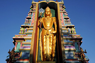
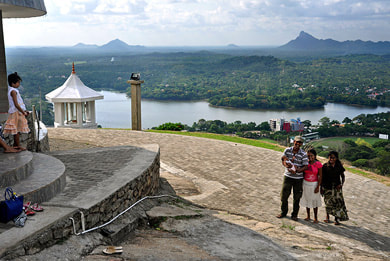
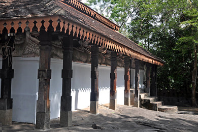
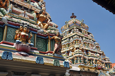
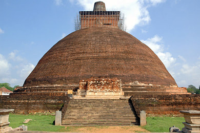
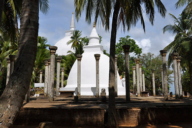
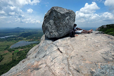
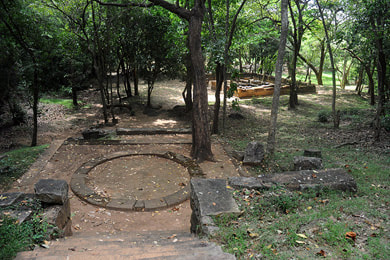
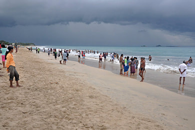
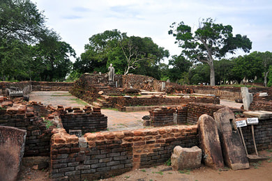
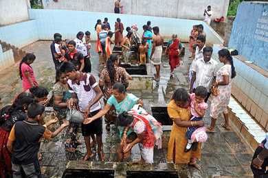
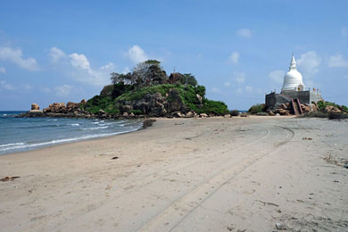
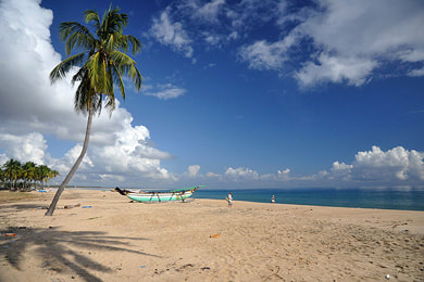
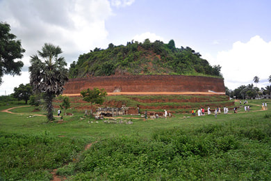
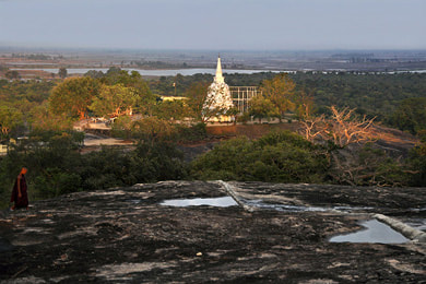
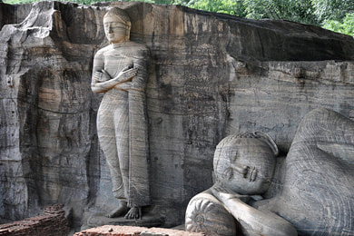
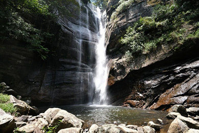
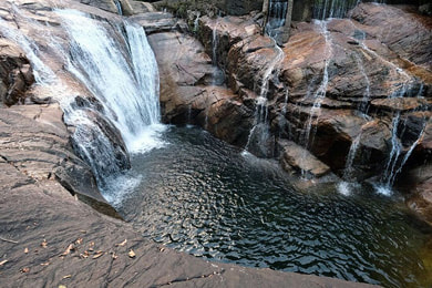
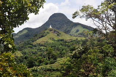
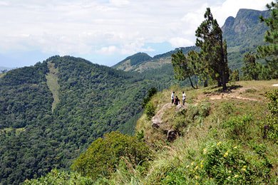
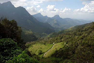
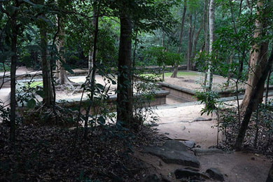
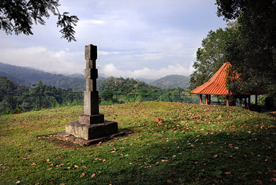
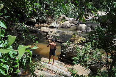
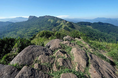
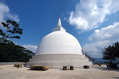
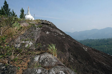
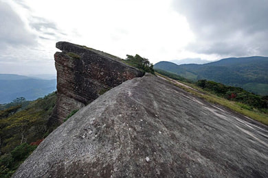
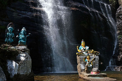
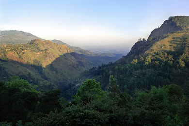
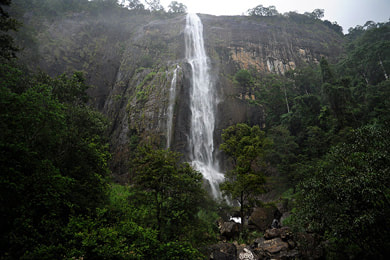
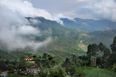
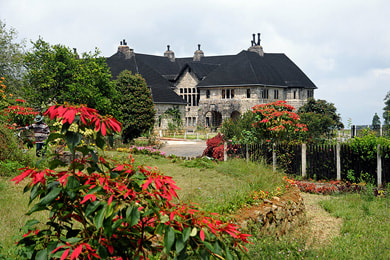
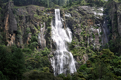
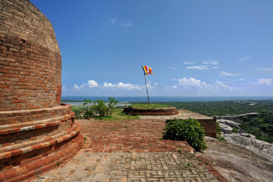
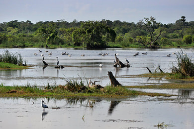
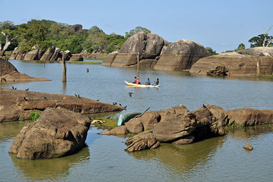
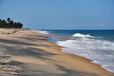
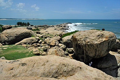
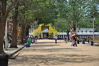
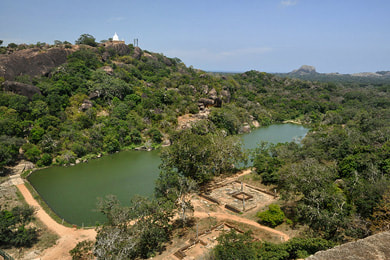
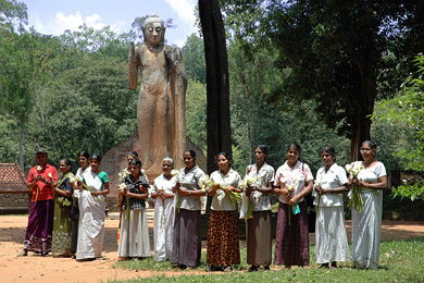
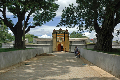
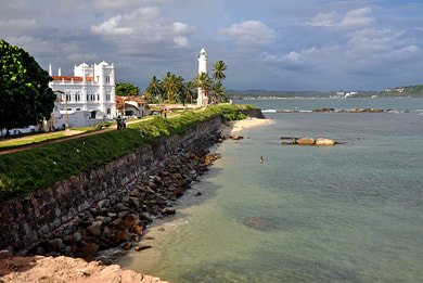
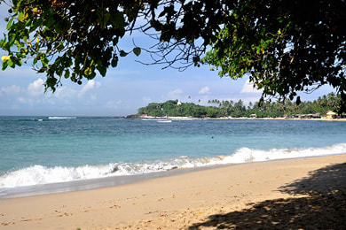
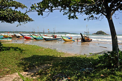
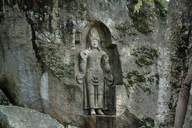
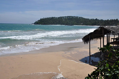
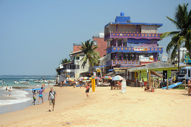
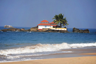
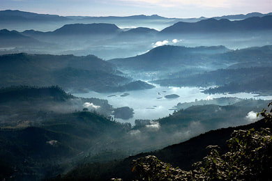
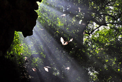
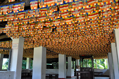
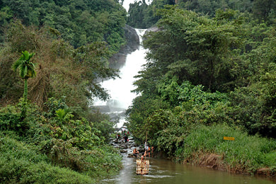
Sri Lanka travel destinations & attractionsSri Lanka is home to eight UNESCO world heritage sites and more than 200 waterfalls, 15 national parks and hundreds of ancient Buddhist ruins. There are many more amazing places in Sri Lanka, many of them unknown to most travellers. On this page, we sort 270 illustrated attractions by location.
|
Colombo - Negombo - Anuradhapura - Trincomalee - Pasikuda - Sigiriya - Kandy - Nuwara Eliya - Ella -
Pottuvil - Yala - Tangalle - Galle - Bentota - Map & Overview
Pottuvil - Yala - Tangalle - Galle - Bentota - Map & Overview
This page introduces altogether 270 destinations and attractions in Sri Lanka, sorted by focal points of interest for holiday makers. A plain A-Z list of the same 270 attractions can be found here. However, if you are not familiar with all the place names, it might make more sense to stay on this webpage and just scroll down, because further below you find each attraction presented with a clickable thumbnail image. The same images can also be seen in better qualily in galleries of Sri Lanka's seven holiday regions, namely Cultural Triangle, Central Highlands, Western Lowlands, Southwest Wetzone, Deep South, East Coast, and Jaffna Peninsula.
On this all-in-one "destinations & attractions" webpage, the images are sorted slightly differently, viz. in the following way: Below, we list 22 major places of overnight stays, highlighted as chapter titles, and allocate the other attractions to the respective of these 22 main places that is closest by. In this way, for each major destination you can find further places of interest in the surroundings that can be reached on day excursions. This should make it easier for you to work out your own travel plan, just by quickly finding suggestions: What else could be worth visiting near the famous sites when staying there for more than one night?
We arrange the 22 major places for overnight stays roughly in the form of a full circle round tour, which is classically done clockwise in Sri Lanka. We do so starting with the capital, because most guests arrive at Colombo International aiport. The 14 most popular places (among the 22 focal points of interest) are marked bold in the list below. Those highlighted top 14 destinations that are also the locations that offer the largest choice of accommodation.
So here is our list of 22 major destination all over the island which are perfect bases for day excursions:
Below, you can click each image as a link to further information about the respective place
Colombo (Western Province)
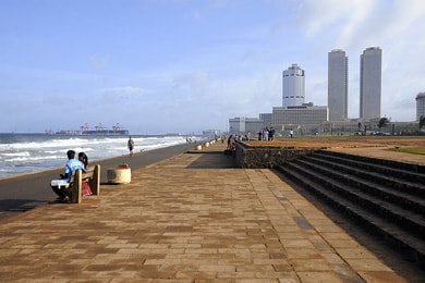
To be straightforward, we do not recommend to spend a longer time of your holidays in Colombo, because it's noisy and dusty and there are so many other places in Sri Lanka that offer much more rewarding travel experiences than the traffic jams in the capital do. However, some guests stay in Colombo for business purposes or visiting friends of for shopping or culinary excitement.
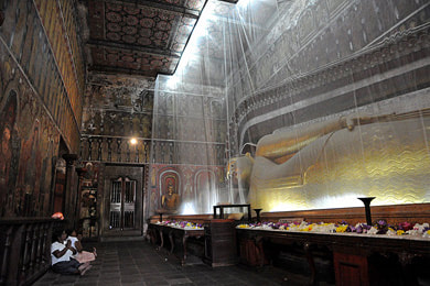
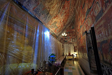
For those holiday makers in Colombo, who are also considering an excursion to attractions in the surroundings, Kelaniya is the most significant heritage in the suburbs of the capital. It's a sanctuary for Buddhists and Hindus alike. Kelaniya is famous for the murals in the main temple. On January fullmoon, the largest pageant of elephants and dancers of Sri Lanka's Western Province is held in Kelaniya.
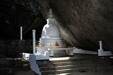
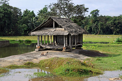
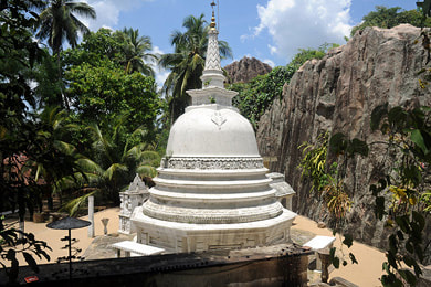
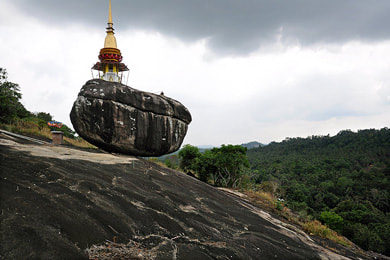
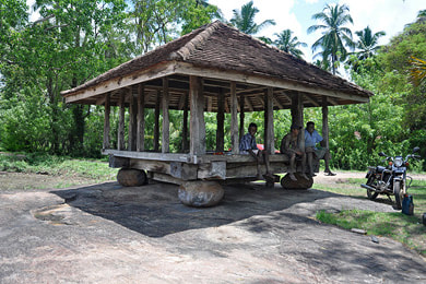
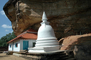
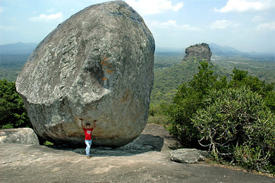
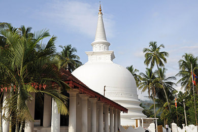
Not far behind Kelaniya and the densely built-up area along the A1 highway to Kandy, there is a surprisingly calm green region with numerous attractions and almost unknown to tourists, namely Siyana Korale. The most charming place of interest in this area is the rock temple complex of Pilikuttuwa, the caves of which are still (or again) inhabited by forest monks. The highest summit of the Western Province, offering a panoramic view to the surprisingly rural surroundings, is Maligatenna just behind Pilikuttuwa. Maligatenna too has caves that are used as monks' cells. Koskandawala is a typical white stupa, it's nice because of its setting, framed by vertical rock surfaces. Awariyawala might be worth a photo stop, because it has one of the best examples of an ancient Ambalama in Sri Lanka, Ambalamas are shelters that once served as ilgrims rest. Varana is one of the largest meditation monasteries in the west of Sri Lanka, caves decorated in the Kandyan style can be visited on terraces on different levels of the rocky hill. A small but somewhat spectacular attraction is the balancing rock of Pettagangala, which is also a temple. A new temple in the area of Gampaha, which has an interesting older wooden image house, is the Dadagamuwa Buddhist monastery.
Negombo (Western Province)
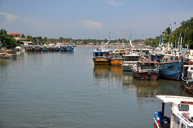
Negombo is not among the most attractive places of interest in Sri Lanka. Neither has it the most charming heritage sites nor the best beaches of Sri Lanka. However, due to the proximity to the airport Negombo is a popular place for spending the first night after arrival or the last nights prior to departure. Apart from Negombo's own attractions such as fishing harbour and fish markets, churches and temples, Dutch canal boat rides or katamaran tours in traditional Oru (singular form Oruwa), and trips to Colombo, there are some options for further excursions.
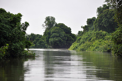
Most recommendable for those who have a late afternoon or early morning free in Negombo is a boat safari in the Muthurajawela wetlands in the south of the large Negombo Lagoons. A rich birdlife, monkeys and large water monitors can be spotted for sure, crocodiles only rarely.
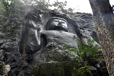
A half-day excursion can combine the rock and cave temple of Aluthepola and Maboda. The latter actually has the only huge rock-cut Buddha statue in western Sri Lanka. Admittedly, it is not as attractive as the more famous ones, because it is now plastered in a gaudy style.
A full-day excursion to the neighbouring region further north could visit either the temples such as Madampe and Munnesvaram and the beaches of Chilaw and Marawila. The latter is the center of Sri Lanka's traditional batik manufacturers.
An alternative and maybe even more rewarding option of a full-day trip could go to Gampaha Botanical Garden and the nearby tranquil ancient heritage sites of Siyane Korale mentioned above, which are actually closer to Colombo than to Negombo.
Kurunegala (North West Province)
to the southwest of Kurunegala (direction Negombo):
to the northeast of Kurunegala (direction Matale):
to the north of Kurunegala (direction AnuradhapuraI:
On most touristic round tours, starting from Colombo or Negombo to Anuradhapura or Dambulla, the large Kurunegala District is only crossed without further sightseeing. Most tourists don't know what they are missing. Kurunegala District is crowded with attractions, and those travelers who know it like those places of interest even more, as they have remained undisturbed by mass tourism. Actually, not even all Sri Lankans know that concerning the number of archaeological sites Kurunegala District is only second to Anuradhapura District. Kurunegala town is not a major attraction in itself, but when you are crossing it way, consider to drive to the big seated Buddha on the backyardrock of the city for the panoramic views.
The most spectacular natural and cultural attractions of Kurunegala District are Dolukanda Mountain and Yapahuwa Rock. If you have a chance to visit them, don't miss that opportunity. Apart from Yapahuwa, the most important archaeological sites are Panduvasnuwara, which was the residence of Parakramabahu the Great, before he became king of Polonnaruwa, and Dambadeniya, which was the capital after the fall of Polonnaruwa, Arankale, which is the southermost of the large forest monasteries once inhabited by reclusive monks of the Pamsukulika brotherhood, Hatthikucchi, the ruins of an ancient pilgrimage site in an incredibly idyllic setting, and Nillakgama, the by far best specimen of the ancient tree-temple architecture.
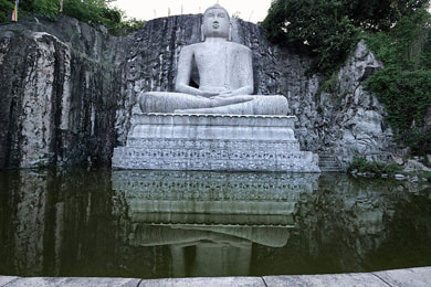
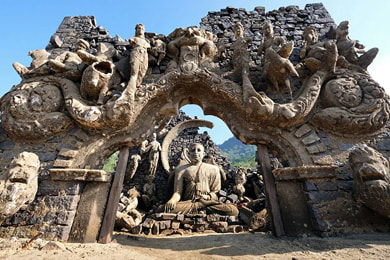
The most significant Buddhist Temple of Kurunegala District is Redee Viharaya, the Silver Monastery of Ridigama, which also has the districts best murals from the Kandyan period. Nearby is Rambodagalla, the largest rock-cut seated Buddha of Sri Lanka, which came into existence on an initiatice of local school children, who were upset about the destruction of Afghanistan's famous Bamiyan Buddhas.
Arguably two of the three best preserved wooden Ambalamas, small shelters that once served as pilgrims' rests, can also be found in Kurunegala District, namely Karagahegedara and Panavitiya, the latter has the second-best woodcarvings from the Kandy period, second only to Embekke in Kandy District. The Padeniya Temple has Kandyan woodcarvings, too.
Apart from Dolukanda, Kurunegala has several more isolated mountains in the plains for hiking expeditions, for example Giriulla, which is located halfway to Negombo. The western boundary of the district is marked by the northernmost foothills of Sri Lanka's central highlands, Ethipola and Hulangala being the highest mountains of Kurunegala District and the entire Northwest Province. Hulangala has one of the escarpments that are called Mini World's Ends in Sri Lanka. Nearby are the waterfalls of Yatawatta Biso Ella.
Alawwa on the way to Colombo has a hidden forest hermitage of a reclusive monk who welcomes guests.
Kalpitiya Peninsula & Puttalam (North West Province)
Kalpitiya at the lagoon of Puttalam is a peninsula with long sandy beaches. Due to strong winds almost all year long Kalpitiya is Sri Lanka’s kite surfing destination.
Holiday makers who spend several days in Kalpitiya usually book a safari in Wilpattu, Sri Lanka’s oldest and largest national park. The main gate of Wilpattu is halfway between Puttalam and Anuradhapura.
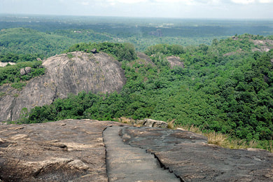
To the southeast of Puttalam and Kalpitiya is Anamaduwa in Kurunegala District. The main attraction of Anamaduwa is the Paramakanda rock monastery. The rock, which can easily be climbed, is one of the best panoramic viewpoints in the North West Province of Sri Lanka. Nearby in Tonigala are Sri Lanka’s largest rock inscriptions.
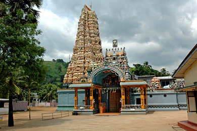
Halfway between Negombo and Puttalam is Chilaw, which also has a lagoon. In the immediate vicinity of Chilaw there are three major Hindu places of worship. Munneshvaram is an entire temple town. Manavari is one of only two temples with a so-called Ramalingam, the other one being Ramshvaram, South India’s most significant pilgrimage site. The Punci Kataragama Temple in Madampe was already mentioned above.
Anuradhapura (North Central Province)
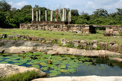
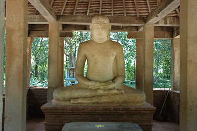
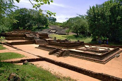
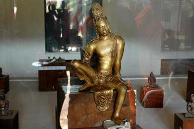
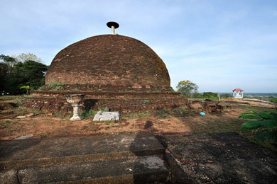
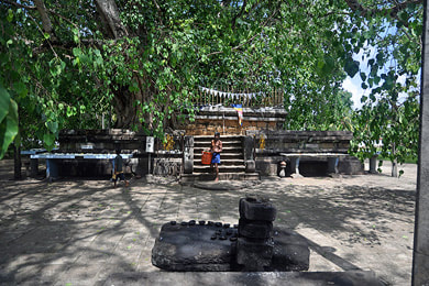
Anuradhapura is the largest archaeological site in Sri Lanka and also the island nation’s second most important pilgrimage site after Kandy. Anuradhapura served as the capital for 1400 years. The main attractions are three huge stupas, that were the highest buildings in Asia for more than a millennium, and excellent works of ancient art such as the Twin Ponds, the Samadhi Buddha Statue, the Queen’s Palace moonstone and the Ratnapasasa Nagaraja guardstone. The major pilgrimage site of Anuradhapura is Asia’s oldest surviving Tree of Enlightenment, the Bo-Tree.
Holiday makers who spend several days in Anuradhapura usually also take part in a Wilpattu safari or visit other archaeological sites such as Hatthikucchi in Kurunegala District.
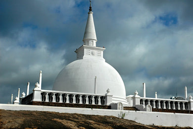
Not far from Anuradhapura is Mihintale, another major pilgrimage site, because it was here that Buddhism was introduced to the island by Missinary Mahinda. Mihintale is a charming archaeological site due to the setting of the ruins in a group of hills and near ponds and lakes.
Katupotha Kanda just south of Mihintale is the highest hill in the area of Anuradhapura. The spectacular viewpoint is not easy to reach and due to traps and hornet nests the jungle path is dangerous without a local guide.
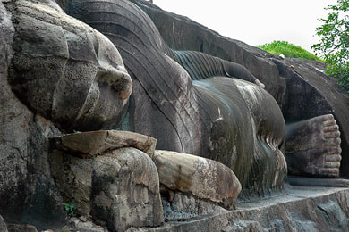
The most charming ancient site to the northeast of Anuradhapura is Tantirimale, which has a large reclining Buddha cut from the rock and a smaller seated Buddha similar to those of Polonnaruwa’s Gal Vihara. Ruins are spread out in a pristine area of turtleback rocks and ponds. Tantirimale also has rock paintings from then aboriginal Veddah population.
Most of the numerous less-known ancient sites in Anuradhapura District are actually situated closer to Mihintale than to Anuradhapura. So for a longer stay to explore the classical region of the ancient Sinhalese civilization, Mihintale might be the better starting point. Not surprisingly, we recommend to stay in First House Mihintale, as this guesthouse is run by Lanka Excursions Holidays.
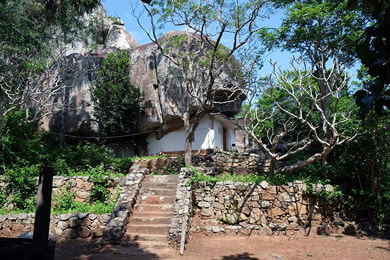
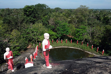
Far in the north of Anuradhapura District, on the way from Mihintale to Vavuniya and Jaffna, is the isolated rock of Isenbessagala, which is crowned by a modern stupa. To the southeast of Isenbessagala and east of Mihintale are several more places of interest that are almost never visited by foreigners. Handagala Kanda is an excellent example of a forest monastery in a grup of rocks with several cave abodes. Thambalagollewa is another example of this kind, due to the cave shrine with sculptures and murals it’s also called the „Little Dambulla“. The archaeological site of Kiralagala is the ancient Veherabandigala, which is the oldest of the so-called Padhanagara temples of the Pansukulika monks, who cheriged an austery lifestyle. Madagama is a forest monastery of monks that has one of the most spectacular monastic rocks in Sri Lanka, almost unknown to locals and foreigners alike. Kalpe is a very small archaeological site not far from the main road to Trincomalee. Among the most excellent ancient Samadhi Buddha statues, the seated Buddha in Diwulwewa is one of the few that is still at its original place and not in a museum. The main building of the archaeological site of Kokabe (Kok Abe), is one of the best examples of a so-called throne-temple, an Asanagara. Gonagiri directly at the Anuradhapura-Trincomalee main road has a ruined cave temple from the Kandy period and is popular with Buddhists due to the new long row of monk statues winding in an S-shape to the Buddha image on the top of the rock. Veheragala not far from Mihintale is the finding place of Sri Lanka’s most valuable hord of gold statues, now exhibited in the Colombo National Museums. But copies of the Mahayana sculptures can be seen in the small museum of the temple. Thammennakanda has one of the very few stupas the stone umbrella of which is in the original Indian style and not in the classical pinnacle form of Sri Lanka.
To the south of Anuradhapura and Mihintale, at the Y-junction of the roads to Kandy and to Polonnaruwa, Maradankadawela has the gaudy cave temple of Gallen Vehera and the rarely visited ruins of an ancient Pansukulika monastery known as Manakanda.
Jaffna (Northern Province)
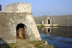
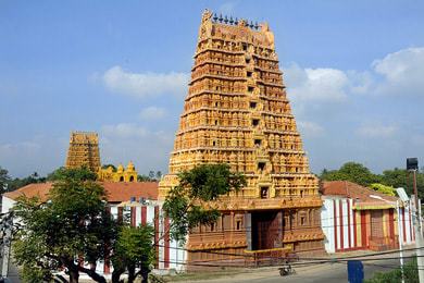
Most of the tourist destinations of Sri Lanka’s Northern Province are found on Jaffna Peninsula and the islands. Jaffna is the cultural capital of the northern part of the island and of Sri Lanka’s Tamil minority. The main attraction in the center of the town is the Dutch Fort. Close-by is the reconstructed Jaffna Public Library, an example of colonial architecture. The most important Hindu temple of Jaffna is the Kandaswami Kovil in the suburb of Nallur, which is among the largest Tamil temple complexes of Sri Lanka.
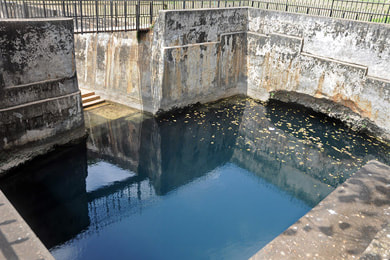
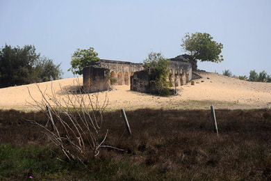
Further north is the Nilavarai well. This largest freshwater well on the peninsula is said to be of mythic origin. It’s a Ramayana site attracting pilgrims. The most important archaeological site on Jaffna is Kandarodai, where some of the stupas have been restoreed. The northernmost point of Sri Lanka, Point Pedro, is a coastal village with a small fishing port and a lighthouse. Also on the northern coast of the peninsula, but further west is the most significant Shiva Temple of the Northern Province. Named Naguleshvaram Kovil, the temple is situated in Keerimalai, which is also famous for freshwater ponds in surprisingly close proximity to the ocean. The water of the Keerimalai well is said to have healing power. Slightly further east is the ancient port of Jambukola, under the modern name of Dambukola it’s a Buddhist pilgrimage site, because the sacred Bo-tree of Anuradhapura is believed to have arrived here. To the west of Point Pedro are the long sand dunes of Manalkadu, the ruins of St. Anthony’s submerging in the sands.
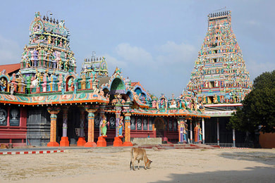
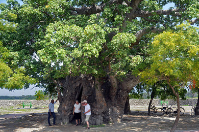
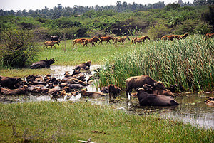
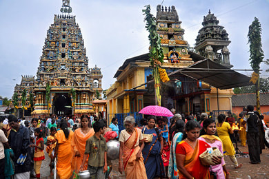
From the port of Kurikadduwan (KKD) there are regular ferry services to the islands of Nainativu, which isclose by, and Delft, which is the westernmost of the archipelago. Delft Island (Neduntheevu in Tamil) is famous for feral horses and an impressive Baobab tree. Nainativu has two important temples, one Buddhist and one Hindu, in close proximity to each other. The colourful Hindu temple called Nahapooshani Amman Kovil is the setting of one of Sri Lanka’s largest Hindu festivals.
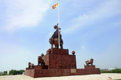
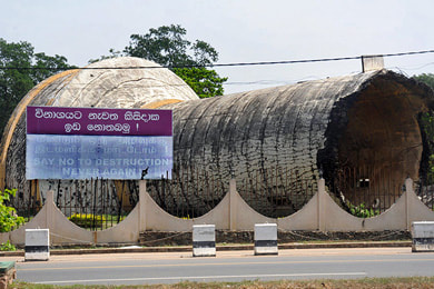
Crossing the ford of the so-called Elephant Pass is a modern causeway. On either end of the causeway, there are war memorials. In Kilinochchi to the south of the Elephant Pass a blown-up water tower now serves as another war memorial
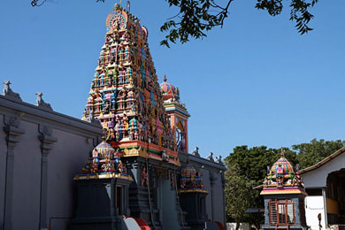
Mannar Island forms the easternmost inhabited part of the Northern Province. Mannar has several attractions, a Dutch fort and also feral horses and a Baobab tree. Second only to Kalpitiya, Mannar is also a major kitesurfing destination of Sri Lanka. Close to Mannar town, but on the mainland of Sri Lanka, is the colourful Thiru Ketheesvaram Kovil, one of the five major Shiva shrines of the island nation.
Trincomalee & Nilaveli Beach (Eastern Province)
Trincomalee, the capital of Sri Lanka’s Eastern Province, is mainly inhabited by Tamils. Trincomalee has the best natural harbour of South Asia and is therefore of great historical relevance. For Hindus, Trincomalee’s Koneshvaram Temple, breathtakingly located on a rocky promonontory called Swami Rock, is arguably the most important pilgrimage site on the island of Sri Lanka. Several more huge Hindu Temples are among the major attractions of Trincomalee town. More recently, Trincomalee has also become a whale watcging destination, second only to Mirissa. Whale watching season in Trincomalee is from mid March to mid November.
Holiday makers love the long sandy beaches just to the north of Trincomalee town. The palm-lined Upulveli Beach is very close by. The most popular beach, however is Nilaveli, which is also the starting point of boat excursions to the coral banks of Pigeon Island. Even further north is the almost unpeopled Kuchchaveli Beach, which has a nice ancient temple on a rocky promontory. Much further north, near Pulmoddai, is a very quaint protected cove called Arisimalai Beach, perfect for a beach day far away from the crowds
Trincomalee District is also rich in archaeological sites. The major heritage attraction northeastern Sri Lanka is Thiriyai (Tiriyaya), with a perfect example of a typical Sinhalese circular temple (Vatadage) atop a hill. This is a charming and tranquil site that usually surpasses the expecttations of rare foreign visitors. Thiriyai is a little bit further inland, but not far from the coastal road between Kuchchaveli and Pulmoddai.
An equally important heritage attraction in Trincomalee District is Seruwila (Seruwawila) to the south of Trincomalee, on the way to Pasikuda and Batticaloa. Seruwila is one of the very few places that claim to shelter relics of all four past Buddhas of our aeon.
A pretty charming site of ruined temples is Velgam Vehera close to Trincomalee town. Though a Buddhist sanctuary, it was much developed under the foreign rule of the 11th century Chola occupiers from South India, who were Hindus, which contradicts the common view of history that the Cholas were systematically destroying Hindu heritage. The hot wells of Kanniyai are not far from Velgam Vehera and close to the Anuradhapura-Mihintale main road. Kanniyai is not a major tourist attraction in itself but a nice place to socialize with Hindu pilgrims and to observe ritual bathes. Within sight of Kanniyai is the rocky hill of Andamkulam. A new monastery in an idyllic setting is at the opposite side of the hill.
Pasikuda & Batticaloa (Eastern Province)
Since the end of the civil war, the beach of Pasikuda, safe for children, as become the major beach holiday destination on Sri Lanka’s eat coast for those seeking relaxation in comfortable modern hotel properties. The dry season in Pasikuda is during the summer months of the northern hemisphere, when the traditonal beach resorts on the southwestern coast receive monsoon precipitation. During the same period, the northeast is usually sunny all day long, making Pasikuda a perfect summer holiday destination for families. Thennady Bay just north of Pasikuda, behind the palm-lined promontory called Elephant Point, is a beach of traditional fishermen.
Maduru Oya is the by far most lonesome national park of Sri Lanka. The park is often closed due to vandalism caused by treasure hunters and poachers. But if safaris are available, Maduru Oya, is the best option for those seeking an authentic wildlife experience, with sights of wild elephants and only very few other tourist jeep.
The town of Batticaloa with a Dutch Fort is situated at Sri Lanka’s largest lagoon. Batticaloa is not rich in high-end hotels and the ocean beaches are not safe for swimming. But Batticaloa is definitely worth a break on a journey along the east coast and a boat ride on the not much frequented lagoon is a picturebook experience of holidays on a tropical island. The largest town in Sri Lanka’s Eastern Province, however, is Kalmunai, which is also Sri Lanka’s largest Muslim town.
In the hinterland of Kalmunai, Dighavapi is one of the two largest ancient stupas of Sri Lanka’s Eastern Province, Dighavapi is one of only seven places mentioned as Buddha-visited sites in the island’s ancient chronicles. Not far from Dighavapi is the forest medutation monastery of Buddhangala, this group of rocks was among the very first sites on the island that were inhabited by Buddhist monks, maybe even prior to the official introduction of Buddhism in the capital in the mit 3rd century BC.
Polonnaruwa (North Central Province)
Asked, which is the most amazing ruined city in Sri Lanka, our answer would prefer Polonnaruwa even over the much larger and older Anuradhapura. The ancient temples of Polonnaruwa are more densely distributed and in a better state of preservation than those of Polonnaruwa and they are also richer in decorations, though the older carvings of Anuradhapura are of higher artistical quality, admittedly. One part of the archaeological park of Polonnaruwa is the Gal Vihara complex, Sri Lanka’s most famous group of large rock-carved Buddha statues. The Gal Vihara sculptures in Polonnaruwa are also unsurpassed in aesthetic value.
The highest hill in the surroundings of Polonnaruwa is Dimbulagala, which can be called an isolated range. It’s also a less-known but much recommendable hiking destination. First and foremost, Dimbulagala is rich in heritage. The Namal Pokuna ruins were once a monastery of utmost importance for spreading the Theravada form of Buddhism to the nations of Southeast Asia. The cave of Pulligoda has enigmatic murals that might belong to the oldest surviving frescos of Sri Lanka outside Sigiriya. Surprisingly, most foreign guests never heard of Dimbulagala. But in our opinion, it’s one of the most fascinating attractions and inforgettable travel destinations in South Asia. Just explore it on several hikes (not only one, and on more than one day), then you will agree for sure.
Somawathiya (Somawathie) is both a national park and a pilgrimage site. It’s not a park for safaris, but the restored ancient stupa, which is believed to contain a second Sacred Tooth of the Buddha, can only be reached by jeeps or other cross-country vehiclles.
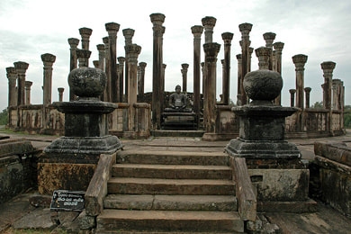
Medirigiriya is a charming heritage attraction densely packed with ruins of temples and a hospital from the Anuradhapura period. The main attraction is a Vatadage, a circular temple with a small stupa in the center. Besides the Vatadages of Polonnaruwa and Thiriyaya, this specimen in Medirigiriya is one of the three most impressive temples of this form of classical Sinhalese architecture.
Polonnaruwa itself does not offer a large choice of mid range to high end accommodation. For holidays or staying some more days in the region of Polonnaruwa, Giritale at the tank of the same name is wort considering. It’s closer to Medirigiriya and also to the Minneriya National Park.
Dambulla & Sigiriya (Central Province)
places of interest to the east of Dambulla (wildlife area):
places of interest to the north of Dambulla (around Ritigala):
places of interest to the nothwest of Dambulla (Kalawewa region):
places of interest to the south of Dambulla (direction Matale):
Whoever is planning a Sri Lanka round tour of an entire week or more should include Dambulla and Sigiriya in the itinerary, even if the main focus of the journey should not be heritage but coastal areas or tea highlands or safaris or adventure. Dambulla and Sigiriya are on the way from Colombo to Trincomalee or from Kandy to Jaffna and are situated right in the center of the so-called Cultural Triangle region, just in between Anuradhapura and Polonnaruwa and Kandy. This is to say, due to their central location they are easy to integrate in most itineraries except from those that are only exploring the southern half of the island. Apart from being major tourist attractions in itself, the area of Dambulla and Sigiriya and Habarana is also worth a stay of several days or even an entire holiday, because so many other destinations are within day-trip distance. And the immediate surroundings of Sigiriya are abundant in further attractions, some of which are surprisingly untouched by mass tourism.
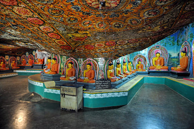
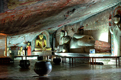
The so-called Golden Temple of Dambulla is Sri Lanka’s by far most impressive cave temple with literally hundreds of statues and the largest murals from the Kandyan period. Visiting the painted caves requires climbing a few hundred steps. A museum is at the foot of the rock.
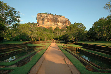
Sigiriya deserves to be called Sri Lanka’s most extraordinary World Heritage Site. The perfect combination of natural and cultural beauty is unique in several respects. The ruins atop the isolated table mountain are enigmatic, it’s not even known if they originally served for secular or religious puposes, as a palace or as a place of meditation or worship. The fascinating frescos known as cloud maidens are interpreted in different ways, too. Anyway, they are captivating even for those who are otherwise less interested in art. The pleasure gardens at the foot of the rock are among the oldest surviving in Asia. The Sigiriya graffiti is the oldest known poetry in Sinhalese language, and though casual scribblings they are admirably sophisticated poems. The fortifications are the most elaborate from Sri Lanka’s pre-colonial times. And the Sigiriya story known from the chronicles seem to be suitable as subject matter of a Shakespearean tragedy.
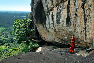
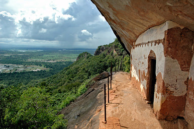
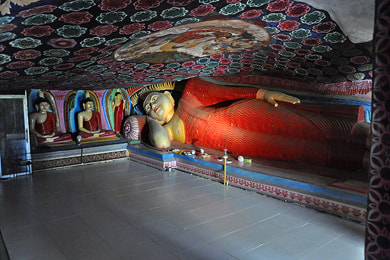
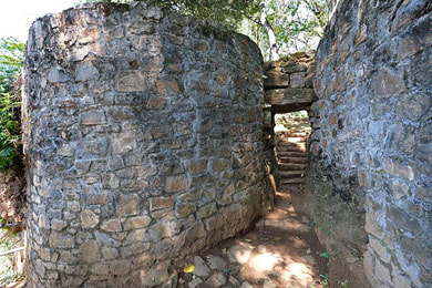
The best view of Sigiriya is from the neighbouring rock of Pidurangala. Pidurangala is a major attraction in itself. The cultural highlight is the large reclining Buddha under an overhanging rock. in the northwest of Habarana is the highest mountain of the northern half of Sri Lanka, Ritigala. Due to its microclimate, Ritigale extraordinarily rich in Ayurvedic herbs. This is one reason why monks of the austere Pansukulika fraternity settled down at the western foot of Ritigala and built an Ayurvedic hospital and numerous mediation platforms at the slopes. Paved forest traks served as meditation paths. Pansukulika monasteries lacked works of sculptural art, except from one place: the urinal stones were richly decorated. The gravel road to the archaeological site of Ritigala branches off from the road to Maradankadawala, where it meets the Kandy-Jaffna and Dambulla-Anuradhapura road. Close to Maradankadewala is the cave temple of Gallen Vihara, mostly decorated with new sculptures. 5 km behind Maradankadawala is another Pansukulika monastery, Manakanda, which was already mentioned above. Manakanda is a kind of second Ritigala.
Kaludiya Pokuna (Kalupokuna) to the south of Sigiriya, not far from the Kandalama Lake, is an enchanting site that comes close to picturebook impressions of ruins in the jungle. Kandalama is noteworthy for birdlife and the iconic archtecture of the Heritance Kandalama Hotel, which was conceived eco-friendly long before environmental compatible architecture became en vogue. Bakamuna to the south of Kandalama harbours one of Sri Lanka’s three large ancient reclining Buddhas cut from a rock, the other two being those at the Gal Vihara in Polonnaruwa and in Tantirimale.
Holiday makers staing at least two nights in Sigiriya or Dambulla or Habarana should not miss to take part in a safari to see wild Asian elephants in such large numbers like nowhere else. The largest elephant gathering is that at the Minneriya Lake during the driest period in this dry-zone region, which is from July to September. Afterwards, the elephants migrate to Lake Kaudulla. Sometimes, more elephants can be seen in the Hurulu Eco Park near Habarana than in the two said national parks of Minneriya and Kaudulla further east. The locals always know where the elephants are roaming and which is the best safari destination at any given time.
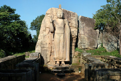
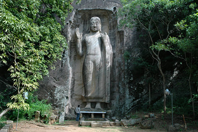
A less visited region in the geographic centre of the Cultural Triangle is the area around Kalawewa, which is situated in the northwest of Dambulla and west of Habarana. The Kalawewa is a reservoir that, together with the Yodha Ela canal draining water from here to Anuradhapura, was arguably the greatest achievement of the ancient Sinhalese civilization, which was based on large-scale artificial irrigation. The most impressive sculptural heritage of the Kalawewa region is the rock-cut Buddha statue of Aukana (Awukane). Regarding volume and mass, the Aukana Buddha is Sri Lanka’s largest monolithic sculpture from ancient times. The fall of the folds of the robe makes this gigantic statue also a masterpieve of fine arts. Aukana is on the shortlist of the itineraries some bus group itineraries and also attracts independent travellers, because it’s mentioned in almost all Sri Lanka guidebooks. But Aukana is not at all overwhelmed by mass tourism, and the other attractions in the surroundings have remained almost untouched. Some guests like the Sasseruwa Buddha in the monastery of Rasvehera even more than the Aukana Buddha. It’s almost equal in size, but less elaborated. However, it stands on a higher elevation above the plains and is not surrounded by modern buildings like the Aukana Budhha. This is why Rasvehera might appear even more appealing. Rasvehera is also a wildlife area. In the south of Kalawewa lies the sanctuary and heritage site of Namal Uyana. It’s situated halfway to Dambulla, but at a side road. Namal Uyana has two major attractions, namely the largest iron wood forest in the plains, which once was planted by prisoners who found asylum in this remote monastery, and South Asia’s largest roze quartz rock. Actually, it’s an entire hill.
In the southwest of Dambulla is a rarely visited archaeological site that is indeed not a must on a tourist itinerary. However, for an art historian, Menikdena is the best example of a so-called Pabbata Vihara. In contrast to other monastic types of the Anuradhapura period, Pabbata Viharas followed a systematic and strictly point-symmetric groundplan concerning the arrangement of sacred buildings on an elevated platform in the center, surrounded by monks’s cells and outbildings. The exterior boundary is marked by a moat.The large ceremonial platform with ruins of five sacred buildings of Menikdena is now also used as an arboretum.
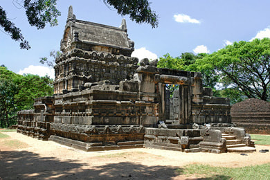
A very special attraction in the south of Dambulla, not far from the road to Kandy, is Nalanda Gedige. It’s special in at least three respects. Firstly, it’s the only complete stone temple from the Anuradhapura. Secondly, it’s the only ancient temple in Sri Lanka with depictions of drastically erotic sculptures at the temple walls. This was once a Tantric temple. Thirdly, Nalanda Gedige is a Little Abu Simbel of Sri Lanka. Due to a dam project, the entire edifice had to be reconstructed on a higher level. It now stands on an artificial island in the reservoir. Further south and close to Matale is the Aluvihara Temple. The rock temple is believed to have been the place og the fourth Theravad Buddhist Council in the 1st century BC. It was on this council, that the entire canon of Holy Scriptures of Buddhism, the Tipitaka, was layed down in written form in Pali language. Attached to the rock temple is a palm leaf manuscript museum in a modern building, which was donated by King Sihanouk from Cambodia.
Knuckles Range (Central Province)
Riverston area (northwest of Knuckles Range):
Narangamuwa area (northeast of Knuckles Range):
Meemure area (central Knuckles Range):
Hunnasgiriya area (south of Knuckles Range):
Huluganga area (west of Knuckles Range):
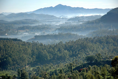
Knuckles Range, a part of the UNESCO World Heritage Site called Central Highlands of Sri Lanka, is Sri Lanka’s best hiking and trekking area. The Sinhalese name of Knuckles Range is Dumbara Kanduvetiya, which translates to Misty Mountain Range. The English Range refers to the central mountain of the range, which has 5 peaks tightly together and therefore shows the appearance of knuckles when seen from a distance, particularly from Kandy.
The Knuckles Range area is located to the northeast of Kandy and to the northwest of Mahiyangana, which is situated on the banks of the Mahaweli River in the Bintenna plains at the foot of the highlands. According to the ancient chronicles of Sri Lanka, Mahiyangana was the first place the Buddha visited on the island, preaching there to demons to win them over as guardians of the flourishing of his teachings on the island. The place of the Buddha's first sermon on the island is marked by the large stupa of Mahiyangana,
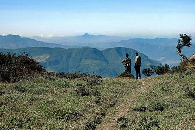
The highest mountain of Knuckles Range is Gombaniya at an altitude of 1906 m (3,281 feet). The most iconic mountain, however, is Lakegala, which is triangular-shaped when seen from Meemure. The best viewpoint to see Lakegala from the side, however, is Mathalagala, which can be reached within three hours from Meemure, walking uphill, or within only 2 hours when starting in Narangamuwa at the opposite side (north) of Lakegala. The walking distance between Meemure and Narangamuwa is less than 7 km or around 4 miles. But the driving distance between the two said villages (along Hasalaka and Hettipola) is around 100 km.
Traveling to Narangamuwa by road you have to cross Ranamure, with beautiful views to paddy fields. The dead-end road to Ranamure and Narangamuwa passes the small Hiru Falls, which are not far but situated in elephant wildlife area. The short hike is therfore dangerous and should not be done without asking locals. The new Kaluganga reservoir is close to Ranamure and Hiru Falls. The dam can be reached by branching off the said dead-end road. On the other side (west) of the Kaluganga tank is the road to Riverston, which has the nice views to the lake.
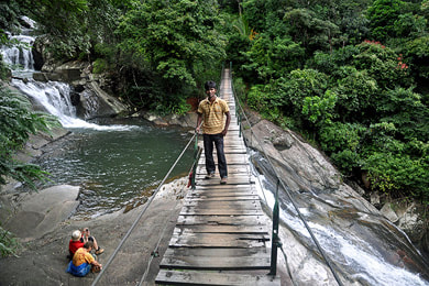
The northwest of Knuckles Range is the Riverston area. Riverston Peak is an excellent viewpoint that can be reached on a comfortable hike of only 4 km up and down. However, the road to the starting point of the hike on the Riverston Pass is not comfortable at all but very bumpy. Not far from Riverston is Pitawala Patana, which is a grassland area famous for rare species. The grassland plain ends abruptly at a spectacular escarpment which is called „Mini World’s End“. (Don’t be confused, this is not the „Little World’s End“ of Horton Plains, and there are several other places in Sri Lanka that are called „Mini World’s End“, two more of them in the Knuckles Range aree, namely Deanston and Hatale.) To the west of Riverston Pass are the picturesque cascades of Bambarakiri Falls with a suspension bridge. The waterfall is not far from Rattota, which has Sri Lanka’s only traditional Rama temple and a larger Hindu shrine dedicated to the elephant-headed Ganesha, who us known as Pilliyar in Tamil languge. Along the bumpy road from Rattota to Riverston, there are several guest houses for mountain holidays.
The Meemure area in between the Five Knuckles Peaks and Lakegala is the most beautiful valley of Knuckles Range. The famous view to the triangle-shaped Lakegala is from the paddy terraces of Meemure. Meemure itself has no high-end guesthouses or hotels, but small homestays and excellent camp sites. Adventure activities include sliding rock and jumping rock in a river bed. Meemure is the starting point for various hikes, short and comfortable ones to waterfalls, such as Diyakerella or Seven Falls, short but strenuous ones, such as to the phantastic viewpoint of Uda Pathana or Nitro Caves, or adventurous two-days treks ones such as to Kehelpathdoruwa Peak. The iconic Meemure Lakegala Peak can be climbed along a long rope.
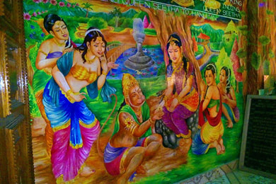
Meemure can be comfortably reached via Sri Lanka’s most scenic sealed mountain road, which branches off from the Kandy-Mahiyangana mountain road at Hunnasgiriya Pass and runs along Corbett’s Gap. Close to Corbett’s Gap are medium- to high-end accommodations, namely Dumbanagala Chalet and Shady Hills. Close to Hunnasgiriya, the road also crosses Deanston, from where an only 1.5 km long trail starts to the 270-degree panoramic viewpoint called Deanston Mini World’s End. Good weather conditions provided, you can spot the mystic Yahangala mountain from here, which is the northeasternmost peak of Sri Lanka’s central highlands. Another very short hike is from Gurulupotha to the archaeological site of Sita Kotuwa. The ruins in the jungle are the remnants of an ancient meditation monastery, but they belong to the Hindu pilgrimage sites of the Ramayana Trail, because they are interpreted as Ravana’s palace, where Lord Rama’s consort Sita was held in captivity before being shifted to Ashoka Vatika (near Nuwara Eliya, see below). Gurulupotha is a village at the Hunnasgiriya-Mahiyangana road.
Medamahanuwara is a village at the Hunnasgiriya-Kandy road. A short hike leads to a memorial at the place where Sri Lanka’s last king, Sri Vikrama Rajasingha, was arrested by the British, before being sent to exile in South India. Close to Medamahanuwara are several villages at streams such as in Retiyagama. The famous Heel Oya village trek starts in Udispaththuwa. This area around Rangala in the southwest of Knuckles Range has several good accommodations.
The western end of Knuckles Range is marked by the Huluganga River, which feeds the Victoria Reservoir at Orutota near Teldeniya and Rangala. The most important trekking village at the western foot of Five Knuckles is Gomara. It can be rached from Rangala by a bumpy but very scenic mountain road, which crosses the bridge of Rangala Natural Pool. Gomara is not only the starting (or finishing) point of the famous Five Knuckles Trek. Also the Gombaniya Trek to the highest peak of Knuckles starts in this area. More precisely, the trailhead is in Rathnathenna division close to the village of Huluganga. The majestic Huluganga Falls are just below the bridge in the center of the village. There are numerous other waterfalls in the surroundings of Gomara. Gravel roads lead to Jodu Falls (a depiction of these twin falls can be seen on Sri Lanka’s 100 Rupees note) and Saree Falls.
Hunas Falls is the name of a beloved honeymoon hotel and the artificial waterfalls in the hotel garden. It’s located at the Hunnasgiriya Mountain, not to be confused with the village and pass of the same name mentioned above. Many consider Hunnasgiriya Mountain to be part of Knuckles Range. But strictly speaking, it belongs to the smaller Campbell’s Lane Forest Reserve, which is separated from the Knuckles Range Forest Reserve by the Huluganga Valley.
Kandy (Central Province)
places to the north of Kandy (Matale region):
pleaces to the east of Kandy (Victoria Reservoir):
places to the west of Kandy (Pilimathalawa area):
places to the south of Kandy (Hanthana & Galaha area):
places to the southwest ok Kandy (Pusselawa & Kotmale areas):
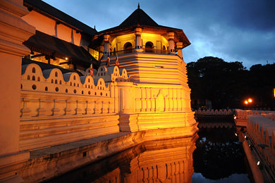
Kandy is the city almost everyone wants to visit when on a round tour in Sri Lanka. And that’s for good reason. Kandy is alluring due to its picturebook location around a lake and amidst the green hills of the northern highlands and due to the variety of cultural attractions. Besides Colombo, Kandy is also the city offering the best shopping opportunities, not only concerning highland handicraft and tea but also regarding fashion and gems. Kandy is a safer place than the cities closer to the gem mines or along the coast for purchasing gems without risks of being scammed. Cultural shows in Kandy are touristy, of course, but they are unmissable indeed. The major attraction of Kandy is the Sacred City directly at the Kandy Lake. The World Heritage Site Sacred City of Kandy is grouped around the Temple of the Sacred Tooth Relic, which is the most important religious site on the island. Foreign visitors are allowed to join the Puja ceremonies that are celebrated three times a day.
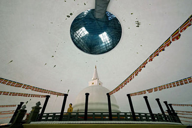
The immediate surroundings of Kandy are rich in further attractions. The suburb of Peradeniya harbours Sri Lanka’s largest Botanical Garden. Close to it is the rarely visited Hindagala cave temple, which is not only a perfect example of a Kandyan cave temple but also has rock paintings from the Anuradhapura period, which is extremely rare. Hanthana, the backyard mountain of Kandy, is a wonderful hiking destination and also offers attractions that can be reached by a vehicle, such as the Ceylon Tea Museum established in a former tea factory, the International Birds park, and the large white stupa dome of Sandagiri. A new very attraction in the vicinity of Kandy is the colourful International Buddhist Center of Nelligala, which is nestled on a hilltop. It has become a very popular destination for half-day excursions from Kandy.
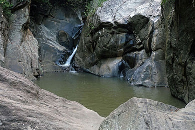
Matale is a district capital that is crossed by the direct road from Kandy to Dambulla, Sigiriya, Anuradhapura and Polonnaruwa. Most holiday makers stop in Matale only for a short break in a Herbal and spice garden, but there are several attractions in the surroundings og Matale, including hiking destinations and waterfalls. Wattegama, closer to Kandy than to Matale, surprises with a small canyon which alloes a refreshing bath in a natural pool. Medawala to the northwest of Kandy is arguably the best example of a so-called Tampita Vihara, a wooden temple on stilts.
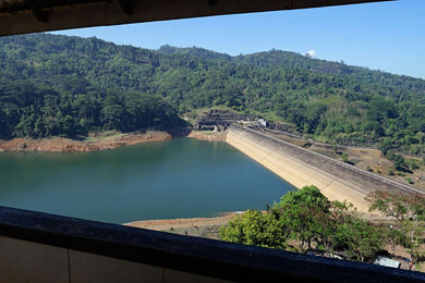
The region to the east of Kandy is not included in most dtandard round tours, except from those who visit Knuckles Range for hiking or trekking. In the valley of the Mahaweli Ganga, there are two large reservoirs, Victoria and Randenigala. The Victoria dam can be visited, a small museum explaining the modern hydropower and irrigation system called Mahaweli Scheme is attached. To the northwest of Victoria Reservoir and not far in the east from Kandy is the cave temple of Degaldoruwa, the Kandyan style murals of which are only second to those of Dambulla. Nonetheless, Degaldoruwa is off the beaten path. Hanguranketa to the south of Victoria Reservoir often served as an escape of the Kandy kings when their capital was attacked by foreign invaders. The Potgul Maha Viharaya („book monastery“) of Hanguranketa, rebuilt in the British colonial period on private initiative of a Buddhist businessman, shelters an impressive collection of palm leaf manuscripts.
Most guests who stay longer than one day in Kandy put sights to see on their shortlist that are situated in the west of the hill capital, first and foremost the abovementioned Nelligala Temple and Peradeniya Botanical Garden and, further west, the Pilimathalawa Tea Factory. Not on everbody’s shortlist is the group of Kandyan temples in Dodanwela to the north of Pilimathalawa. Rather, for most travellers Pilimathalawa is the gateway to the so-called Western Temples, which are well-known from pocket guides. Gadaladeniya shelters excellent paintings from medieval times on impressive wooden doors. The main shrine of Lankatilaka is richly decorated with murals in the Kandyan style, whereas Embekke, the third Western Temple, is Sri Lanka’s woodcarving highlight.
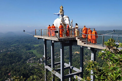
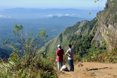
Embekke is already close to Gampola, the main attraction of which is the new park-like religious sanctuary of the top of the Ambuluwawa mountain. The landmark Ambuluwawa tower is a scenic viewpoint, but most travelers do not know that there are better viewpoints not far from the main road from Kandy and Nuwara Eliya. The rarely visited Bhadravathi Temple is situated on the top of a gneiss rock. Farer away is the wonderful Kondagala Rock, belonging to Loolecondera Estate, which was Sri Lanka’s first tea plantation. Reaching Kondagala rock requires a steep uphill hike of half an hour, but rewarded by panoramic views that are more stunning than those from Ambuluwawa for sure. An even better viewpoint is close to Pussellawa, which is a town at the road from Gampola via Ramboda to Nuwara Eliya. The uphill gravel road to the viewpoint Peackock Hill (Monaragala Mountain) is bump and a (not steep) one-mile hike is required to reach the summit. But what you will come to see there is absolutely breathtaking. Maybe it’s better that most travellers don’t know about this viewpoint, so that our own guests can enjoy such great and rewarding attractions undisturbed. An even more overwhelming viewpoint in the region of Pusselawa is Chariot Path, which requires a longer and more strenuous hike. Chariot Path resembles Horton Plains and is really not second to it concerning panoramic views, but it’s a hidden treasure, almost on no touristic itinerary. Actually, most travellers don’t know the best visiting places in Sri Lanka. On the way to the trailhead of Chariot Path you have to cross Frotoft Tea Estate, which is arguably the most scenic tea plantation of Sri Lanka. Frotoft View Point, which is directly at the estate gravel road, is also a much more exciting point of sight than Ambuluwa Tower in our opinion.+
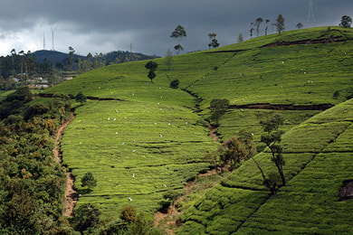
There are other bewitching attractions in the surroundings of Pussalawa than only viewpoints. Pussalawa is also a gateway to the Kotmale Valley. Close to the Kotmale dam is the hidden temple of Kadadora, which is underwater most of the time but reemerges at low water, approximately every second year. The largest modern stupa od Sri Lanka, the Kotmale Mahaweli Maha Seya, is also not far from the dam. Even nearer are the remnants of an ancient fortification called Dehadu Kadulla. In between Pussellawa and Kotmale dam is Ranamure Pihilla, a spring and a shelter at the upper end of very scenic rice terraces. The road from Pussellawa to Kotmale starts at the Rothschild Tea Estate, which is not only among the largest tea plantations in the area but also one of the most modern factories. It’s open to visitors and operates a tea center directly at the road to Nuwara Eliya.
Nuwara Eliya (Central Province)
sights to the southeast and east of Nuwara Eliya (around Hakgala):
sights to the north of Nuwara Eliya (around Ramboda):
sights to the south and west of Nuwara Eliya (around Dimbula):
Nuwara Eliya is the highest elevated city of Sri Lanka, at an altitude of more than 6000 feet, at the foot of Pidurutalagala, which is Sri Lanka’s highest mountain. The former British hill station of Nuwara Eliya is known as Sri Lanka’s „Little England“ due to its half-timber houses, the most notable ones are the Red Post Office, the Grand Hotel, and the Hill Club, all of them surrounding the 18-hole golf course, which marks the center of the city. In the immediate vicinity of the city there are several attractions within and around the valley of Nuwara Eliya, for example the waterfalls known as Lovers’s Leap, the easy to reach peaks and viewpoints of Single Tree Mountain and Kikilimana, the Galway's Land Bird Sanctuary with 10 Sri Lankan endemics, the Gregory Lake offering lots of fun activities particularly for children, the Moon Plains as the highlands only place for jeep safaris, the most important Ramayana pilgrimage site in Sita Eliya, the Hakgala Botanical Gardens, the amating waterfalls of Bomburu Ella and Rawan Falls, and the Ambewela diary farm.
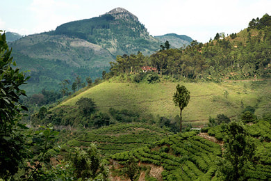
In the north of Nuwara Eliya is the tea region of the same name, with Labookellie Tea Estate being the largest plantation. Part of the Labokellie tea plantation is a rock known as Kondagala (not to be confused with the rock of the same name of Loolecondera Estates, see above). Kondagala is also known as Mani Katthitheri, a Hindu place of worship of local Tamil plantation labourers. Besides Frotoft View Point, Kondagala alias Mani Katthitheri is the best lookout to the valley of Kotmale. On the way down to Pussellawa and Kandy, Ramboda is also famous for its views and even more famous for its waterfalls. High above Ramboda is the abovementioned scenic tea plantation of Frotoft, which is the gateway to Chariot Path, one of Sri Lanka’s most rewarding hiking destinations, which was already mentioned as an excellent viewpoint above.
Behind Mount Pidurutalagala, east of Nuwara Eliya, is Sri Lanka’s most lonesome tea region, wich is called Uda Pussallawa. It is situated in the Narangala mountain range. At the southern foot of the range is Welimada. Close to this town are important Ramayana pilgrimage sites, namely Divurumpola, the place of the Agni Pariksha, Sita Devi’s fire ordeal, and Shtripura Caves, which are believed to have been a hiding place of Sita Devi.
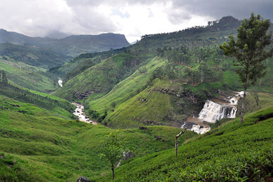
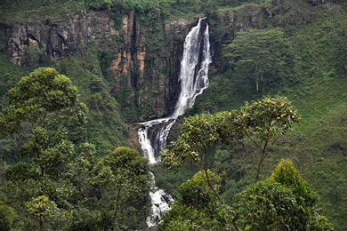
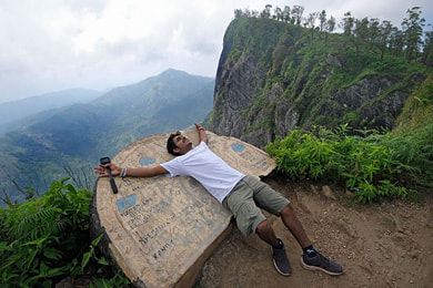
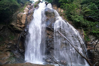
South of Nuwara Eliya are the famous Horton Plains, the major attractions of which are the vantage points at the escarpments known as Big World’s End and Little World’s End. Traveling from Nuwara Eliya to the west, you soon reach the Nanu Oya train station. Sri Lanka’s largest highland tea growing area, Dimbula, stretches from here to Adam’s Peak, with Hatton marking the center of the tea region. In between Nuwara and Hatton are two scenic waterfalls that can be spotted directly from the road, namely St. Clair's Falls and Devon Falls. However there are several more waterfalls around Nuwara Eliya that are not as easy to reach. Noteworthy are for example the mystic Dunsinane Falls, accessible only by a very bumpy mountain road, which leads from Nuwara Eliya to Kotmale town.
Ella & Bandarawela & Haputale (Uva Province)
destinations to the west of Ella (Haputale area):
destinations to the east of Ella (Badulla region):
Ella and Bandarawela and Haputale are the major holiday destinations in the southern and southeastern part of Sri Lanka’s central highlands. Due to the elevations above 1000 m, the climate is mild in this area. The region belongs to the province of Uva and is therefore also known as Uva tea district. Uva Tea became famous, because it is in this area that the Lipton Tea success story begun. Thomas Lipton enjoyed to stay in Haputale also due to the scenic beauty. Behind his main plantation, Dambatenna, is a vantage point with views to two different directions, the central highlands and the southern plains. This favourite spot of Thomas Lipton is known as Lipton Seat today. Another attraction near Haputale is the former villa of the English aristocrat and planter Sir Thomas Villiers, Adisham Hall, which now serves as a Bendedictine monastery. Adisham is open to the public on Sundays. On the way from Haputale via Bandarawela to Ella is the Dova temple. The paintings in the cave temple are gaudy, but the Dova temple is noteworthy for the only huge Buddha statue cut from the rock that is found in Sri Lanka’s central highlands. It remained unfinished, but the upper parts are well recognizable.
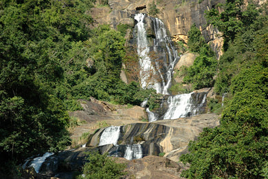
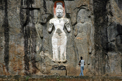
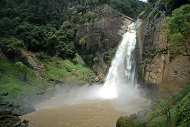
Even more popular than Haputale is Ella. Ella is the best place for short but very scenic hikes and also offers adventure activities such as ziplining and caving. Ella is best known for its views to the Ella Gap. Near the bottom end of this valley are the Ravana Falls just beside the road to Wellawaya and Yala and the southern beach resorts. Not far from Welawaya is Sri Lanka’s talles ancient rock-carving. This Buddha statues of Buduruwagala is flanked by two groups of Mahayanistic sculptures, altogether there are seven rock sculptures in Buduruwegala. En route from Wellawaya to Haputale, travelers pass the Diyaluma Falls, which are among the three highest waterfalls of Sri Lanka. The highest waterfalls are further west, on the way from Wellawaya or Haputale to Balangoda and Ratnapura, a side road branches off to the Bambarakanda Falls, which measure 241 m (791 feet) in height.
To the east of Ella is the region of Badulla and its backyard mountain, Namunukula, the summit of which can be reached via steep uphill forest paths. The provincial capital Badulla, otherwise rich in Hindu shrine and Christian churches, is one of the classical 16 Buddha-visited sites on the island. The place it marked by the Muthiyangana stupa. Another main attraction of Badulla is Dunhinda Falls, which can be reached on a short and scenic hike from a car park at the road to Mahiyangana. Dunhinda is among the most popular waterfalls of Sri Lankan weekend holiday makers. Less visited is Bogoda at the foot of the Narangala mountain. Bogoda has not only a cave temple but also the oldest sirviving wooden bridge of Sri Lanka, it’s from the early Kandy period. Travelling from Badulla or Ella to the east, in the direction of Gal Oya National Park or Arugam Bay, one comes along Passara, which is at the southern end of the Madulsima Range. The Madulsima Mini World’s End, one of the most scenic vistas in Sri Lanka, can be reached from Passara on a side road. Another road to the north runs to Bibile, the gateway to the villages of the aboriginal Wedda people. On the way to Bibile, the rarely visted Arawakumbura Falls are very close t the road, but not visible from there and not easy to reach. The footpath is very muddy and steep.
Pottuvil & Arugam Bay (Eastern Province)
Pottuvil and the neighbouring Arugam Bay are Sri Lanka’s top surfing destinations. The surfing season is from April to September, with August being the peak season. Admittedly, the most popular surf break of Sri Lanka, namely Main Point in Arugam Bay, can get crowded with surfers, which also means there is an increased risks of accidents. However, there are several more surf points along the southeast coast, from Lighthouse Point 21 km (13 miles) north of Pottuvil to Okanda Point 30 km (19 miles) south of Arugam Bay, which are are much less frequented. Pottuvil provides some hotels of higher categories, whereas Arugam Bay offers numerous budget and mid-range accommodations. The coast of Pottuvil is formed by the widest sand dune field of Sri Lanka, whereas Arugam Bay is a crescent beach.
Three national parks of qite different character can be visited in the southeast of Sri Lanka. Kumana National Park is the eastern extension of Yala. Kumana safaris are popular with Arugam holiday makers, but the park has remained almost untouched by mass tourism when compared to Yala. Kumana is one of the best places to observe crocodiles and is extraordinarily rich in birdlife. Lahugala Kitulana National Park in the hinterland of Pottuvil is too small for jeep safaris. But observation points allow to see wild elephants at the lakes of this wildlife area, which is an important elephant migration corridor between Yala and Gal Oya. The latter is unique in Sri Lanka insofar it is the island’s only national park which is mainly explored on boat safaris. The national park encompasses Sri Lanka’s largest lake, the reservoir called Senanayake Samudra. The dam is at Inginiyagala, where some basic tourist facilities are provided and where the boat safaris start. Gal Oya is still off the betan path. Another wildife attraction is the chocolate box lake called Rufus Kulam near Tirukkovil. Rufus Kulum is almost unknown to foreigners. But this ravishingly beautiful spot allows to observe evening wildlife at the lake without expensive national park entry fees and without any disturbing noises of jeeps or other tourist.
Cultural attractions near Sri Lanka southeastern coast are the forest monastery of Kudumbigala, the rock of which is crowned by an ancient stupa and offers stunning panoramic views, the ruins of the large monastic complex of Lahugala, with the most impressive ancient moonstone of the southern half of Sri Lanka, and Pottuvil’s Mahayana Buddhist statues in the remnants of the ancient Muhudu Maha Viharaya, the charm of which that it’s partly buried under the dunes.
Yala & Tissamaharama (Southern Province)
Yala is by far the most famous national park of Sri Lanka. And this is for good reason. It’s not only the park with the highest chances to observe wild leopards. Yala is also the most scenic national park and rich in very diverse eco-systems. Block 1 as the most atrractive part is the destination of almost every safari in Yala. However, due to its popularity it’s crowded with jeeps. It’s better to know this in advance to avoid wrong expectations concerning the wildlife expereince. Guests who want to avoid the crowds can explore untouched wildlife in Yala nonetheless, because expeditions to rarely visited places, such as Yala Block 2, which is further east on the shores of the ocean, and Yala Block 5, which is a forested region further inland, can be organized by specialists.
Yala is not the only national park in the region. In the southwest of Tissamaharama is Bundala National Park, which is a wetland area rich in birdlife. The larger Lunugamvehera National Park to the north of Tissamaharama offers better chances than Yala to observe wild elephants.
The driest season in the Yala-Tissamaharama area is from July to September. For holiday stays in Sri Lanka’s major wildlife region there are three towns that have a large choice of accommodation and are tourist attractions in themselves. Tissamaharama in between all three national parks mentioned above was the capital of the southern kingdom of Rohana and earned the nickname „Anuradhapura of the south“, because it also has more than one huge ancient stupa in the archaological site and more than one ancient reservoir close to the historical city. The lakes around Tissamaharamas are rich in avifauna, too. Kataragama to the northeast of Tissamaharama is a major pilgrimage site of Sri Lanka, attracting devotees of four different communities, namely Buddhists and Hindus and Sufi Muslims and aboriginal Weddas. The annual Kataragama festival, which is usually celebrated in July, is famous for performances of excruciating acts such as swinging on hooks pierced in the skin and walking across glowing coals. Kirinda, situated to the south of Tissamaharama is a beach resort, allowing to combine beach relaxation with wildlife adventures.
The rock temple of Sithulpahuwa is the most important heritage site in the region of Yala. Futher north are the arcaeological sites of Dematamal Viharaya and Yudaganawa, the latter has the largest stupa of southern Sri Lanka. The Buddha statue of Maligawila is Sri Lanka’s largest free-standing monolithic sculpture from ancient times. A second huge statue nearby is a depiction of a Bodhisattva, a Mahayana-Buddhist saviour.
To the east of Tissamaharama and Bundala National Park is the coastal town and district capital Hambantota. Hambantota is known for the modern seaport under Chinese control, but there is also a traditional fishung harbour. A new touristic highlight of Hambantota is Sri Lanka’s dry-zone botanical garden. The Mahapalessa hot springs are much further inland.
Tangalle & Dickwela & Matara (Southern Province)
The coastline to the east of Matara and Dondra has become increasingly popular with bach holiday makers in recent years. In particular, Tangalle allures with a nice sandy beach and several small coves to the west, for example the palm-lined Medaketiya Beach and the Silent Beach, which indeed deserves its name. The safest beach for swimming is Medilla Beach. The area of Tangalle belongs to the dry zone and receives almost no summer monsoon precipitation. The beach resorts between Dickwella and Dondra further west belong to the intermediate zone, which is less dry but receives much less rainfall than the southwestern coatline during northern hemisphere summer months. Dondra Head, marked by a lighthouse, is the southermost point of Sri Lanka. Dondra is not far from the district capital Matara, the Dutch fort of which is not as impressive as that of Galle.
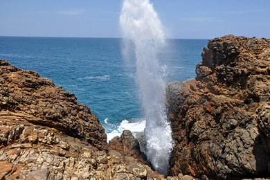
Near Dickwella, which is situated in beween Tangalle and Dondra, is the horseshoe cove of Hiriketiya. Coves of this shape are extremely rare in Sri Lanka. Also close to Dickwella, but in the opposite direction to the west, is the Hoomaniya Blowhole, a pseudo-geyser. Hydropneumatic Blow Holes are even rarer natural phenomenons than genuine geysers. The huge modern Budda statue of Wewurukannala is another attraction near Dickwella, located in the hinterland on the way to Mulkirigala. East of Tangalle are Rekawa Beach, known for the sea turtles depositing there eggs here, Kalametiya Lagoon, which is a bird sanctuary, and the small national park of Ussangoda, which was established for the protection of grass patches with extremely rare plant species that can survive on serpentine soil (soil with a naturally high proportion of heavy metals) .
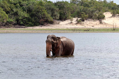
Several natural cultural attractions in the hinterland of Matara and Tangalla are a worth considering excursions. First and foremost, Udawalawe National Park is a must-see for lovers of wild elephants. The park is inhabited by more than 200 individuals, the elphants can usually be seen in small groups of females with their offsprings, whereas the elephant bulls usually roam alone. Attached to the national park is the elephant transit home, where injured baby and juvenile elephants are fostered not to be domesticated but to be released into the wild again.
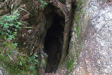
In the foothills of the Sinharaja rain forest near Embilipitiya there is a dripstone cave known as Wavulpone. Dripstone is extremely rare in Sri Lanka. Wavulpone is not a show cave. It can only be explored with torches. Caving expeditions can be organized, but we advise against it, because the cave fauna should remain undisturbed. The cave is densely populated with bats. „Wovulpone“ literally translates to „bats cave“.
Ramba Vihara is a rarely visited archaeological site halfway between the coast of Ussangoda and the town of Embilipitiya. The by far most noteworthy heritage site in this southern region of Sri Lanka is Mulkirigala, an isolated rock with Kandyan style cave temples on different levels of the rock. The murals are the most impressive in southern Sri Lanka. In contrast to Kandy paintings in the highlands, the cave paintings of Mulkirigala also make use of the colour blue.
Galle & Weligama & Hikkaduwa (Southern Province)
Galle is the capital of the Southern Province of Sri Lanka. The Old Town of Galle, situated on a peninsula, is the best preserved Dutch colonial fort in Asia and was therefore declared UNESCO World Heritage Site. At the opposite side of the natural harbour of Galle are the Rumassala promontory, a mytic Ramayana site, and the nearby Japanese Peace Dagoba.
The main holiday beach of Galle is Unawatuna only two kilometers east of the harbour bay. Unawatuna is a crescent cove protected by coral banks and therefore safe for swimming, ideal for families traveling with kids. The picturebook palm beach, crowned by a white stupa on its rocky promontory, however, is crowded with guest houses and restaurants and can get noisy in the evenings.
The most popular beaches between Unawatuna and Dondra Head, the southernmost point of Sri Lanka, are Weligama and Mirissa. The latter is a good surfing spot and the starting point of the very popular whale watching excursions. Weligama is a protected bach with several isles, of which Taprobane Islet, a former residence, now also serves as an exclusive hotel. Weligama Beach also has surf breaks and is particularly known for photoshooting opportunities of stilt fishermen. A cultural attraction in the immediate hinterland is the rock-cut Buddhist statue called Kushtaraja, which translates to Leper King.
Hikkaduwa in the northwest of Galle, on the way to Bentota, is in a beach with a small coral reef and partly very shallow waters. This part of the beach is safe for children. In the 1970s Hikkaduwa became Sri Lanka’s first Hippie Beach. This is history now. But it’s still a beach town popular with young people and backpackers in particular. There is a large choice of restaurants and bars and shops. Hikkaduwa also has several surfing schools. Just north of Hikkaduwa is the small temple island of Seenigama, also revered as a Ramayana site. Close by is the Tsunami memorial at the place where the train was derailed by the waves. Hikkaduwa holiday makers often visit Sri Lanka’s largest moonstone mine, which is located in Meetiyagoda in the hinterland.
Bentota & Beruwela (Southern & Western Provinces)
Concerning bed capacity, Bentota, Aluthgama and Beruwela together form the largest agglomeration of beachside hotels in Sri Lanka. Bentota has a reputation of being Sri Lanka’s number one destination for beach fun activities such a jet skiing, windsurfing, banana boat rides or water skiing. Bentota and Beruwela also offer the largest joice of Ayurvedic farms and spas.
Whereas Bentota to the south of Bentota River and Lagoon belongs to the Southern Province, Aluthgama and Beruwela to the north are located in the Western Province. Beruwela is Sri Lanka’s most traditional Muslim seaport. It’s crowded with mosques, of which Ketchimalai Masjid is the oldest on the island. Other attractions of Beruwela include Barberyn Island with the lighthouse and the fishing port. The largest town further north is Kalutara, the main attraction of which is the huge new stupa of Gangatilaka Viharya. Wadduwa is another beach resort close to Kalutara.
Holiday makers in Bentota can explore several attractions along the coasts to the north and south and in the hinterland of Bentota. Brief Garden was the home of the artist Bevis Bawa, Lunuganga Garden was the weekend residence of his brother, Geoffrey Bawa. It’s now used as a hotel, which offers a unique ambiente indeed, but the gardens are also open to visitors.
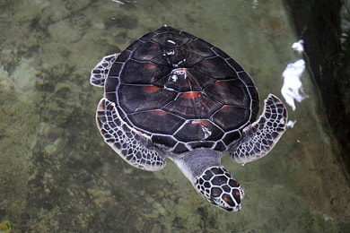
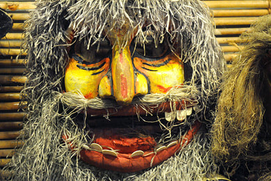
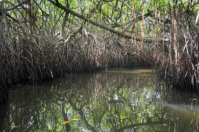
The coastal road to the south, direction Hikkaduwa and Galls, leads to the sea turtle hatcheries of Induruwa and Kosgoda and to Ambalangoda, the mask carving capital of Sri Lanka, and Balapitiya Beach, which is closest to the starting point of Sri Lanka’s most popular boat safaris, exploring the wetlands of Maduganga (Madhu Ganga). Apart from mangrove swamps, the boat tours include visits of the small Cinnamon Isle and the temple islet of Kudduwa, doctor fish massagespas along the river and prawn fishing kraals at Madu Ganga Lake.
Ratnapura (Sabaragamuwa Province)
Ratnapura literally translates to „gem city“. Indeed, the surroundings of Ratnapura are the main gem mining area of the island that is famous for sapphires in particular. The cityskape of Ratnapura is not appealing, but there are several museums and the surroundings are of scenic beauty. Excellent hiking and trekking areas are situated to the northeast as well as to the southwest of Ratnapura, namely Peak Wilderness (with Siri Pada) and Sinharaja Rainforest respectively. Both areas are natural World Heritage Sites. Peak Wilderness is the most lonesome forested region of Sri Lanka, except from the Holy Mountain itself, which can get quite crowded, particularly on Full Moon Days between December and April. Sinharaja is well served by footpaths. Apart from the tropical rain forest in itself and numerous waterfalls and scenic view points, the unique avifauna is a special highlight of the Sinharaja Forest Reserve.
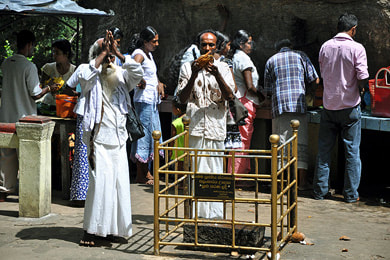
The traditional pilgrimage route to Siri Pada, better known as Adam’s Peak to foreign travelers, starts at Ratnapura, more precisely at the main shrine of the guardian deity of the Holy Mountain, God Sumana Saman. The Maha Saman Devale in a suburb of Ratnapura is the second largest temple in the Kandyan style.
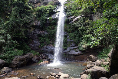
Kuruwita to the north of Ratnapura harbours the Buddhist temple known as Delgamuwa Rajamaha Viharaya, which served as a hideaway oh the Sacred Tooth Relic in the late 16th century. From a tourustic perspective, the major attraction of Kuruwita is the picture-perfect waterfall of Bopath Ella, which is much frequented by picnickers, most of them being Sri Lankan weekend holiday makers. Almost unknown and less easy to reach is the nearby waterfall of Dodan Ella, also transcribed Dodam Ella.
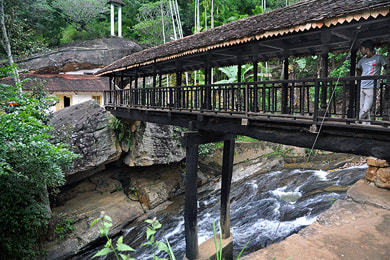
In the surroundings of Kuruwita there are two impressive rock shelters, namely Batadomba Lena, one of the three major finding places of the prehistoric Balangoda culture, which can be reached on a 2 hours hike up and down, and Divaguhawa, also known as Bathatota Lena, which is a cave temple in the Kandyan style and a major place of pilgrimage as one of the 16 classical Buddha-visited places of Sri Lanka.
Another prehistoric cave, the most important finding place of Balangoda-culture bones and artifacts, is Pahiyangala, also known as Fahien Lena or Fa Hsien Lena, because locals believe that it was once inhabited by the famous Chinese pilgrim Fa Hsien (Faxian). Pahiyangala, arguably the largest rock shelter of South Asia, is located near Bulathsinhala in the northernmost foothills of Sinharaja rain forest, far away from touristic standard routes.
To the southeast of Ratnapura, closer to Embilipitiya is the colourful cave temple of Sankapala. It’s directly at the main road, en route from Ratnapura to Udawalawe National Park
Kitulgala (Sabaragamuwa Province)
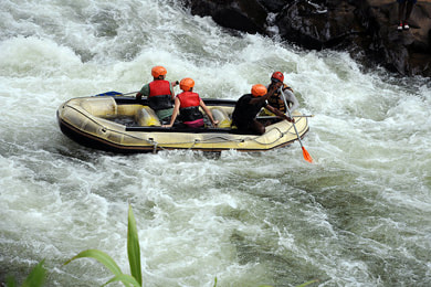
Kitulgala in the valley of the upper reaches of the Lelani river is Sri Lanka’s adventure holiday destination number one. The main attraction is river rafting with grade 3 and 4 rapids. However, there are further activities on offer in Kitulgala, such canoeing, canyoning, waterfall-abseiling, and trekking. Kitulgala is also one of Sri Lanka’s best birdwatching areas.
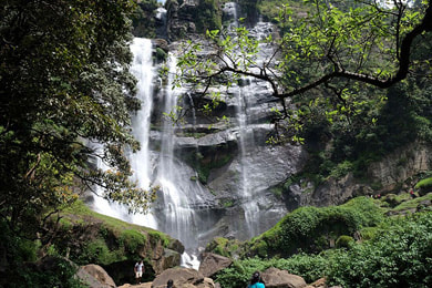
Belilena near Kitulgala is cave, which is one of the major finding places of prehistoric bones and artifacts in Sri Lanka. The opening of one cave is seasonally veiled by a small waterfall. The most scenic waterfalls in the vicinity of Kitulgala are the Upper and Lower Falls of Mannakethi, which are surprisingly almost unknown to foreign guests. The highest waterfalls of the valley are in a larger distance, on the direct forest route to Norton Bridge and Adam’s Peak, namely Aberdeen Falls and Lakshapana Falls (Laxapana Ella).
Cutural attractions are found downstream from Kitulgala, namely Barandiya Kovil in a suburb of Avissawella, also known as Sitawaka. Further north is the remote forest hermitage of Salgala in a picturesque group of rocks with caves used as monks' cells.
Pinnawela & Kegalla (Sabaragamuwa Province)
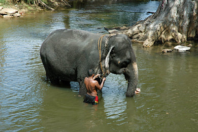
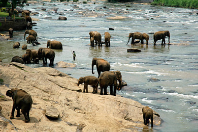
The main tourist hub of Kegalla District is Pinnawela, famous for the elephant orphanage, where you can take part in elephant baby feeding and observe the elephant bath in the river of Maha Oya, which takes places twice a day. Those travelers more interested in elephant care can visit smaller elephant care projects, namely Milennium Elephant Foundation, Elephant Care Relief Foundation and Elephant Freedom Project, that organize jungle walks with elephants and allow to take part in washing elephants.
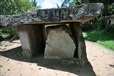
To the northeast of Pinnawela are rarely visited small places of interest. The Gal Massa in Padavigampola is Sri Lanka’s only megalithic dolmen. Beligala, which was a hideout of the Sacred Tooth Relic after the fall of Polonnaruwa, has a moonstone of a very unusual shape.
30 km to the southwest of Pinnawela is the largest ancient Dagoba of western Sri Langa, the Kotavehera in Dedigama. This is one of the very few stupas the relic chambers of which were examined by archaeologists. The most spectacular findings are now exhibited in the National Museum of Colombo, but many are on display in the museum beside the stupa. Further southwest is the pilgrimage site of Attanagala, shich is believed to be the place of the seld-sacrifice of King Sirisangabo (others consider Hatthikuchchi near Anuradhapura to be the place of this famous story.)
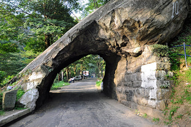
When traveling from Colombo or from Pinnawela to Kandy, you will cross the Kadugannawa Pass. For purely symbolic reasons, the old road was cut through a rock boulder by the British. The car park at the new road offers 180 degree views to the valley of Kegalle and the prominent Batalagala, better known as Bible Rock.
