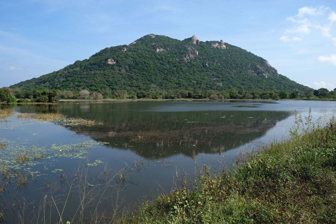
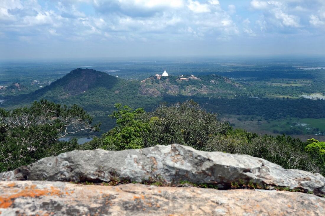
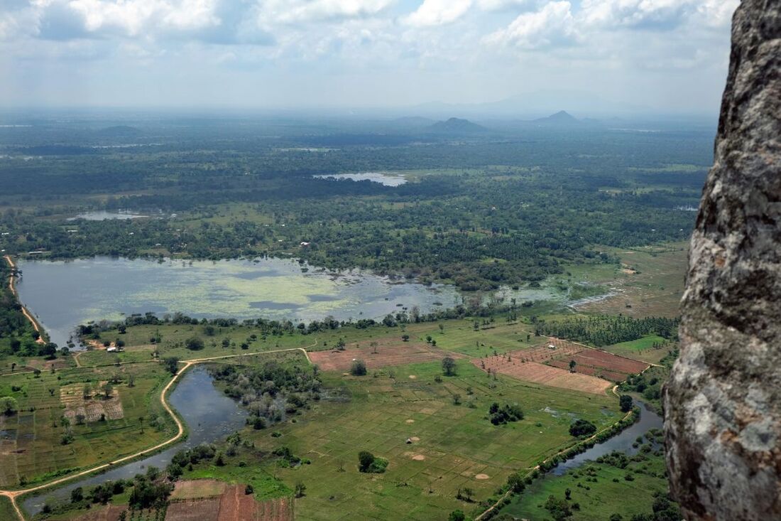
With an altitude of 400 m (1312 feet) above sea level, Katupotha Kanda, an isolated mountain just to the south of the Mihintale hills, is Sri Lanka's highest peak to the north of the 300 m higher Ritigala Range, which is in 28 km distance to the south-southeast, as the crow flies. This is to say, there are no higher peaks than Katupotha Kanda to the north and east and west of Mihintale or between here and the coastal line from Puttalam in the west via Jaffna Peninsula in the north to Trincomalee in the east. Conserning the prominance, Katupotha Kanda surmounts the surrounding plains of the North Central Province by almost 300 m (1000 feet) and is almost 100 m (320 feet) higher than Eth Vehera, the highest Peak of the Mihintale sanctuary.
Location
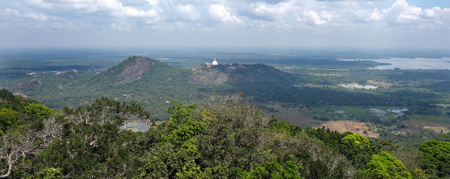
The summit of Katupotha Kanda is located 2.4 km (1.5 miles) south of the large white dome of Mihintale's Mahaseya stupa, as the crow flies. A forest monastery named Katupothakanda Vajirarama Aranaya Senasanaya is situated at the eastern slope of the mountain, in 6 km (4 miles) distance from Mihintale by road. Besides Kandy Bolawatta Vajirarama Aranya and Digana Ambakote Thapovanaya, this meditation monastery was one of the newly established Aranya Senasanayas set uo by the Venerable Siri Rahula Thera, who pioneered the revival of forest hermitages in Sri Lanka.
Name and History of Katupotha Kanda
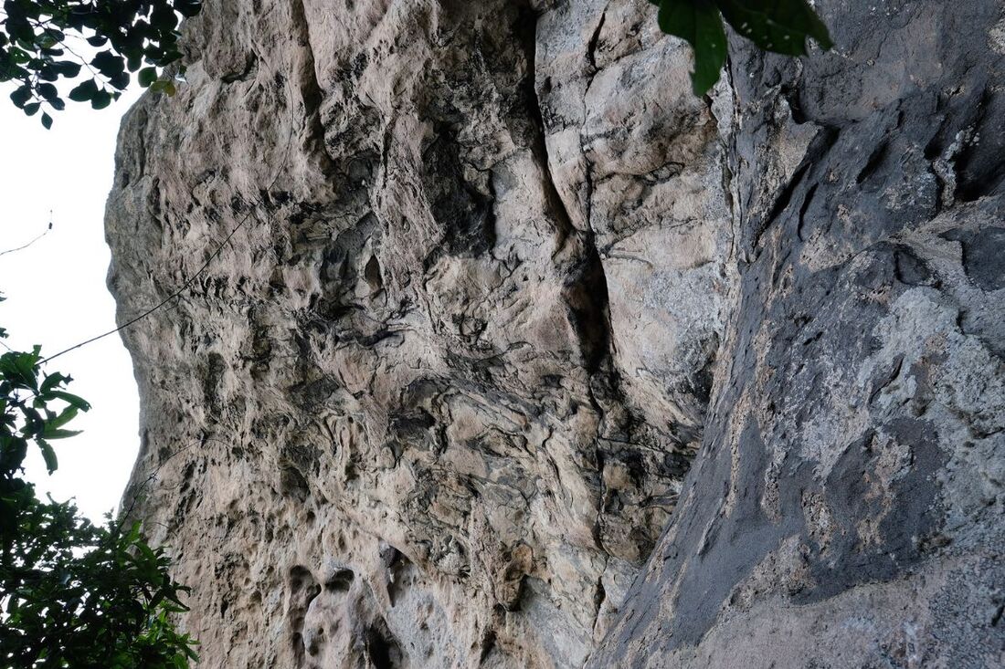
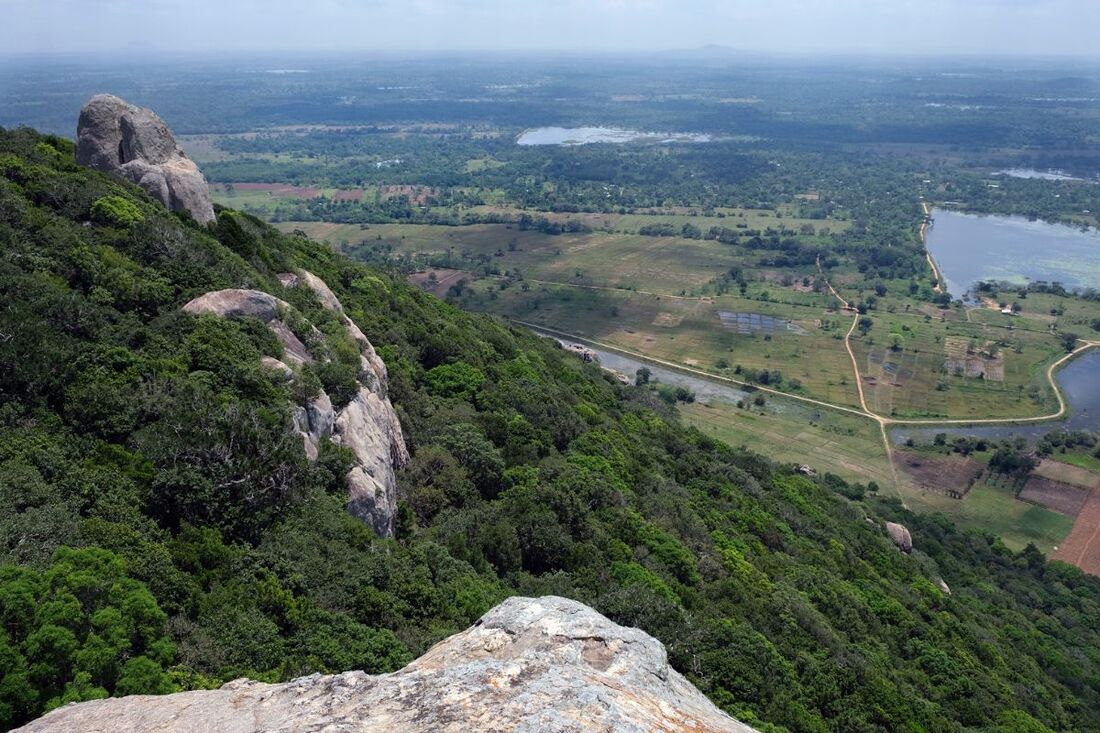
In Sinhala, "Kathu" means "pin, needle, spike". "Potha" is "book". "Kanda" simply means "mountain". So "Kathupotha Kanda" translates to "spike-book mountains". This particular name of the mountain refers to a historical event. In the late 12th century, King Nissanka Malla ordered to use this rock as a quarry for a very special purpose. A 25 ton cuboid from here was transported with great effort to his capital, Polonnaruwa, which is in 100 km (60 miles) distance. There it was used for engraving the longest and largest stone inscription ever produced in Sri Lanka. The result can still be seen on Polonnaruwa's sacred quadrangle, between the famous circulat Vatadage an the steep pyramid of Satmahal Pasada, close to the so-called Hatadage temple. The apt name of this inscription on a cuboid rock is "Gal Potha" (also spelled "Galpota"), which translates to "rock-book". The mountain of origin of this massive cuboid in Polonnaruwa is named after the Gal Potha and the needle shape of the uppermost rock, which can be climbed.
Dangerous Hike to the summit of Katupotha Kanda
|
Warning: Danger to Life! Never climb Katupotha Kanda without local guide!!! Please, take this warning seriously! Read the main text below to understand why! |
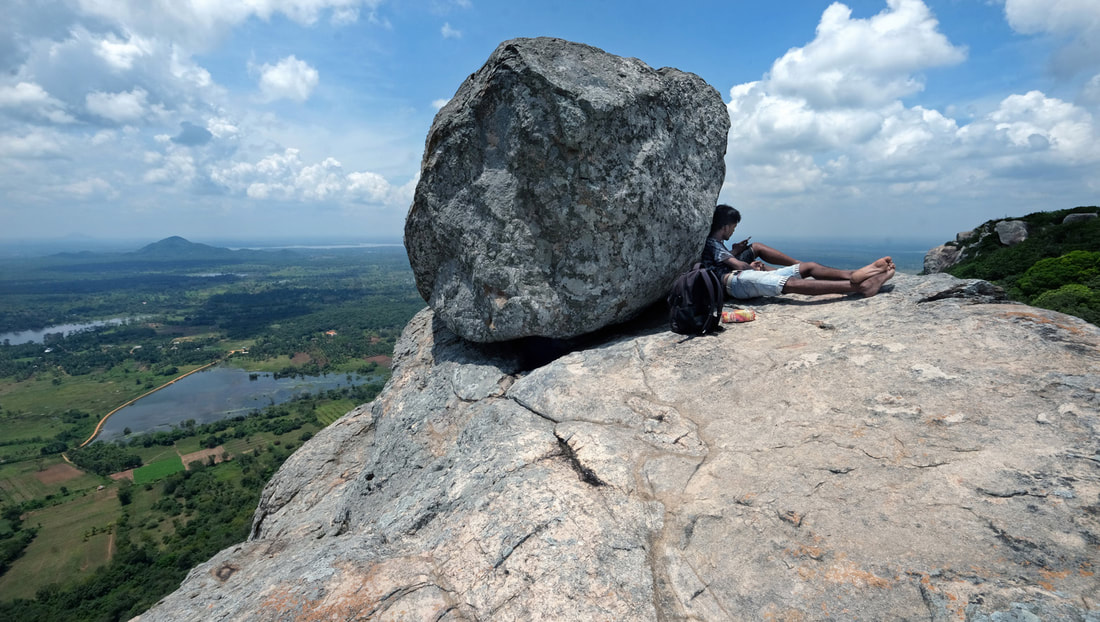
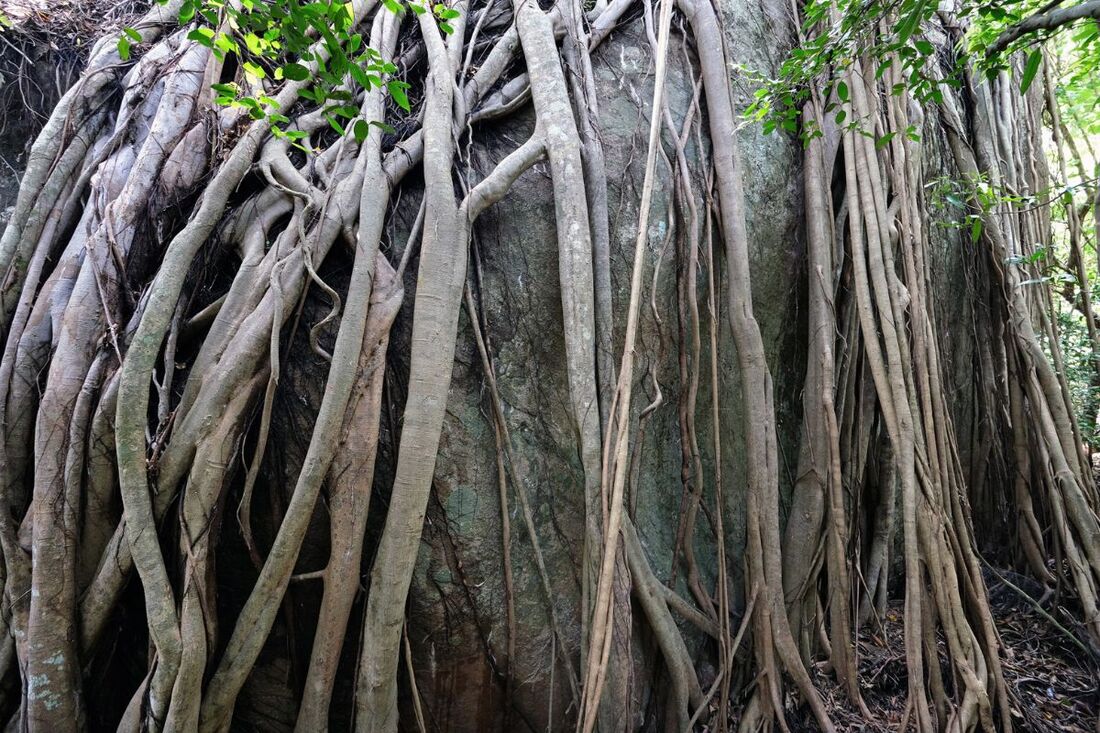
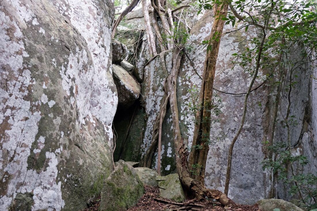
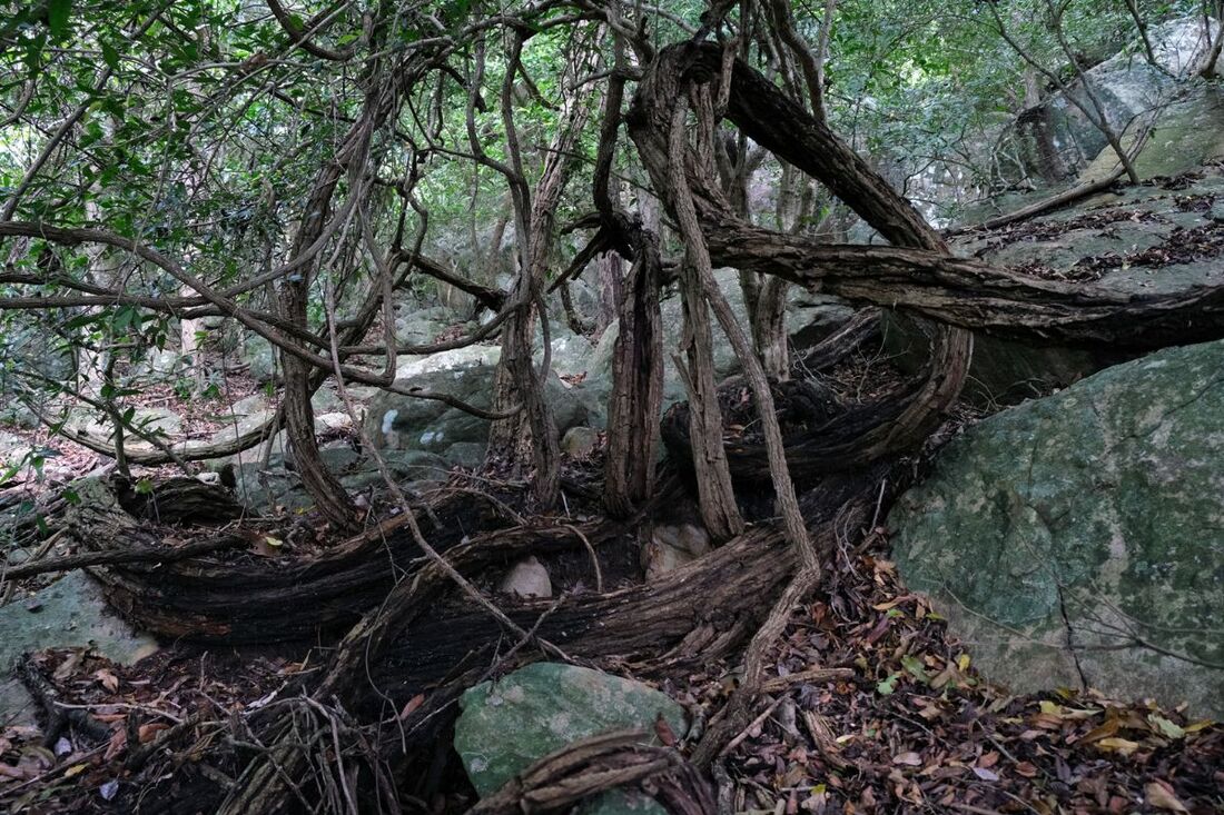
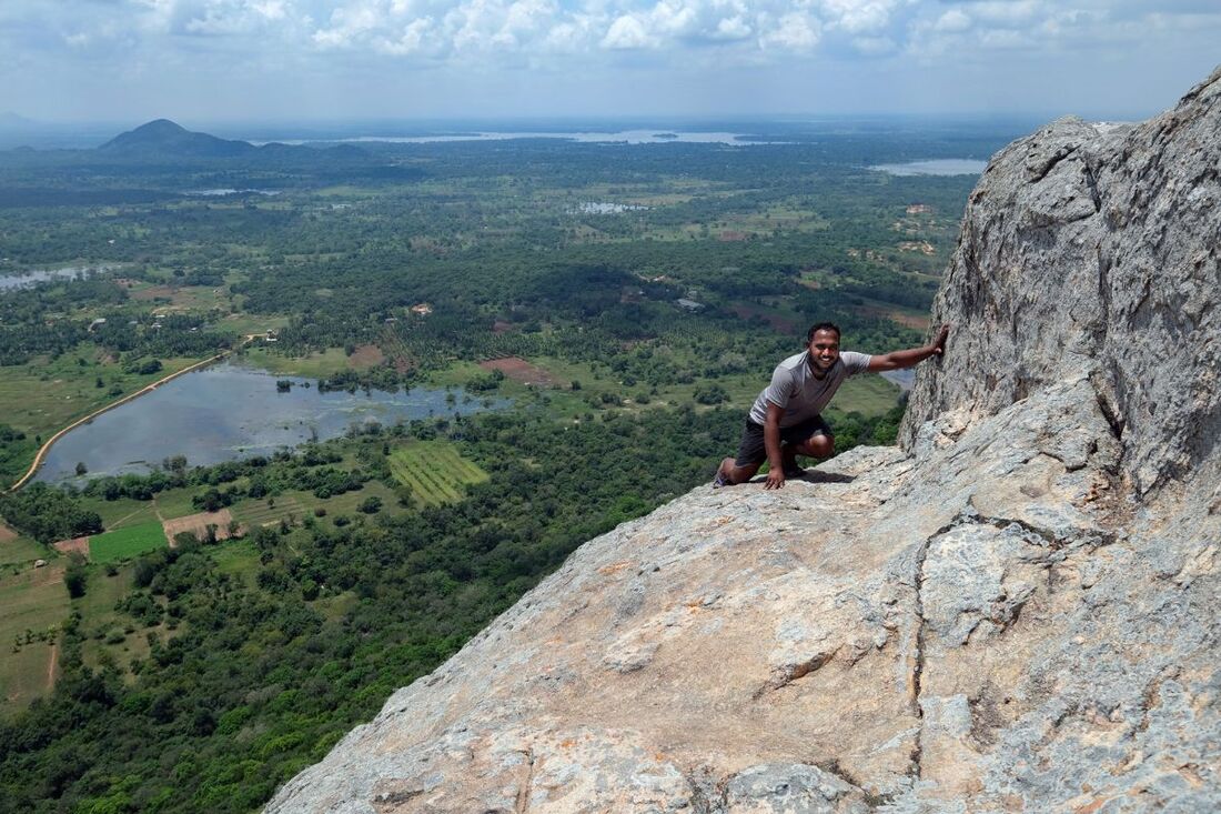
Climbing the summit of Katupotha Kanda is worth considering, as it's definitely one of the most amazing rocks and viewpoints in the northern half of the island. However, there is no hiking path to the top, so you have to cross the jungle which is rocky and covered with dense thicket. A passable passage to the top is not easy to find.
|
A local guide is a must for another reason: your safety! In this area, there are self-made gun traps set up by poachers who intend to catch or kill wild animals. Such gun traps are an immense danger for cross-country hikers in Sri Lanka in general. In the case of Katukotha Kanda, a local villager collecting wood was fatally injured by such a trap in 2022. Because he was too severely wounded to return on his own, he bleeded to death in the jungle. Don't underestimate another risk: There are nests of wild hornets at the rock. When disturbed, such hornets attack in large swarms. A few dozens of hornet stings can be fatal for humans. In Sri Lanka, several people are killed by wild hornets every year.
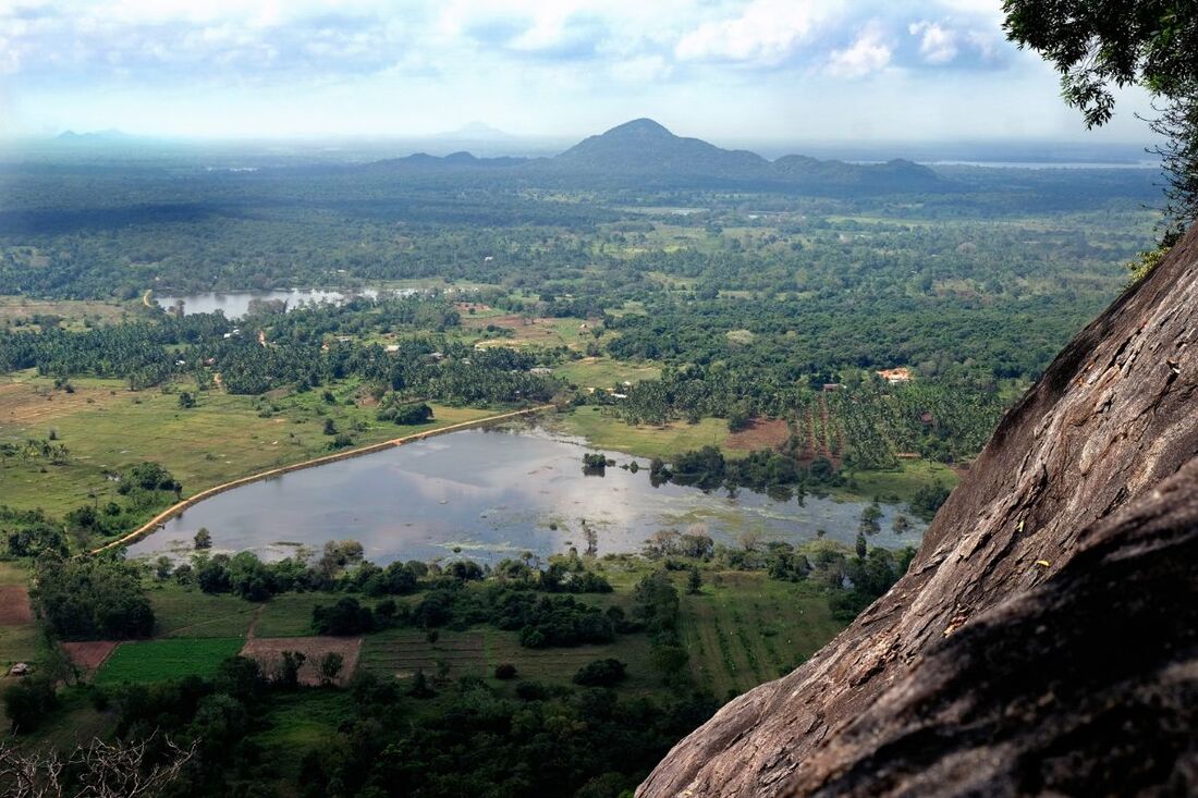
The best access is from the south, the path to the southern foot of the hill starts at a gracel road 3.5 km east of A9 Kandy-Mihintale-Jaffna highway. The slightly strenuous off-trail climb with a guide for your safety will be rewarded with the most amazing 360-degree panoramic view in Anuradhapura District.
The best access is from the south, the path to the southern foot of the hill starts at a gracel road 3.5 km east of A9 Kandy-Mihintale-Jaffna highway. The slightly strenuous off-trail climb with a guide for your safety will be rewarded with the most amazing 360-degree panoramic view in Anuradhapura District.
