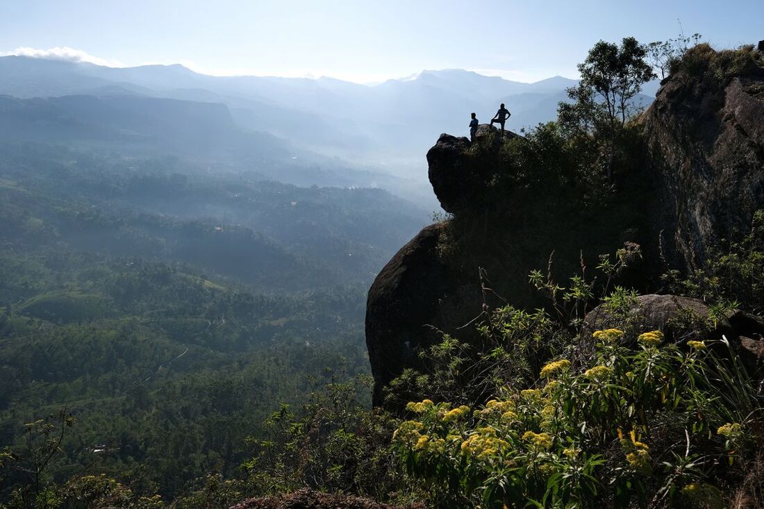
Peacock Hill - Monaragala summit high above Pussellawa
|
|
|
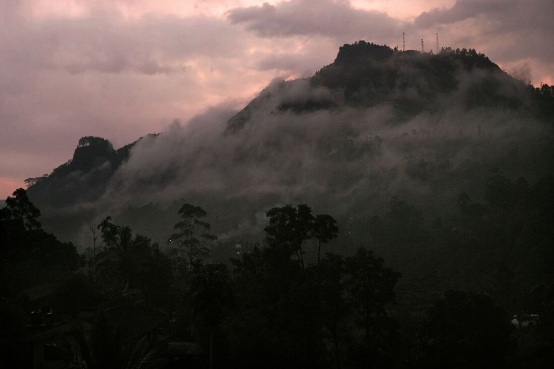
Monaragala seen from Pussalawa after sunset
|
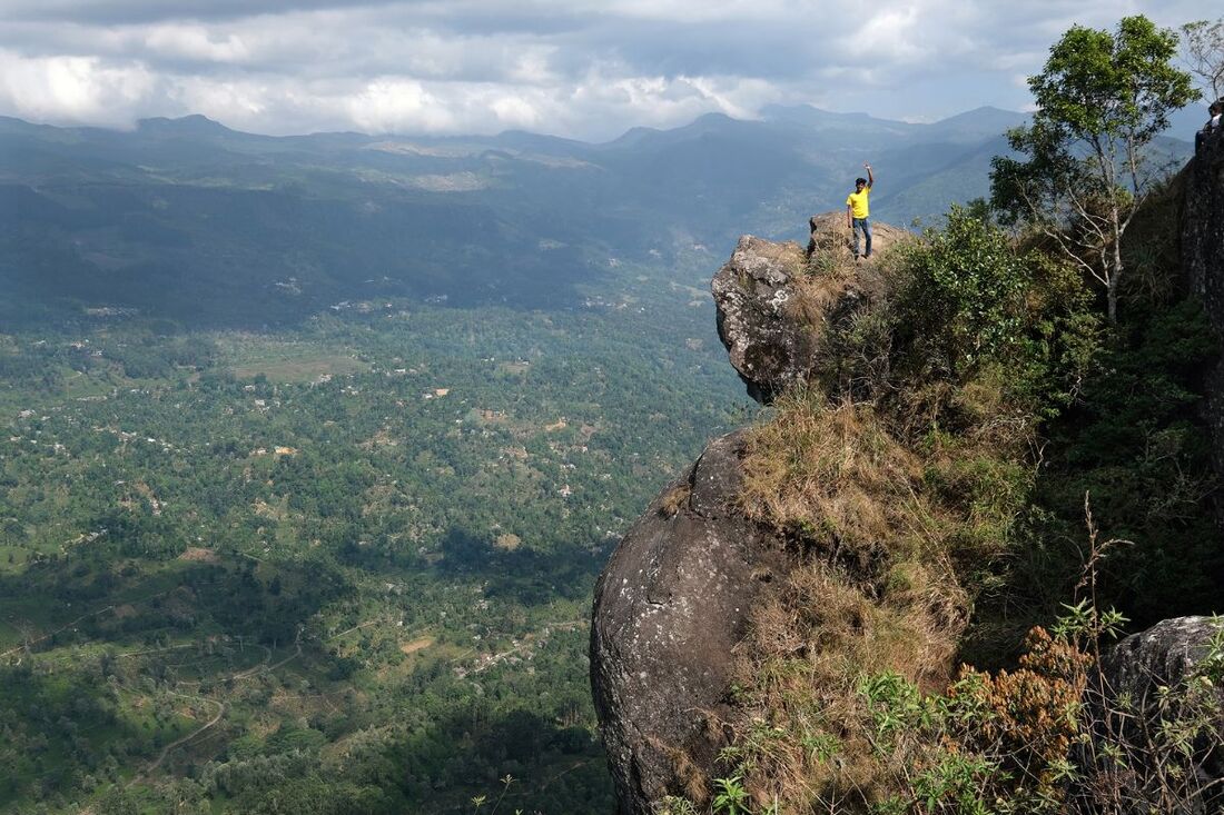
view from the top to a subsidiary summit of Peacock Hill
|
|
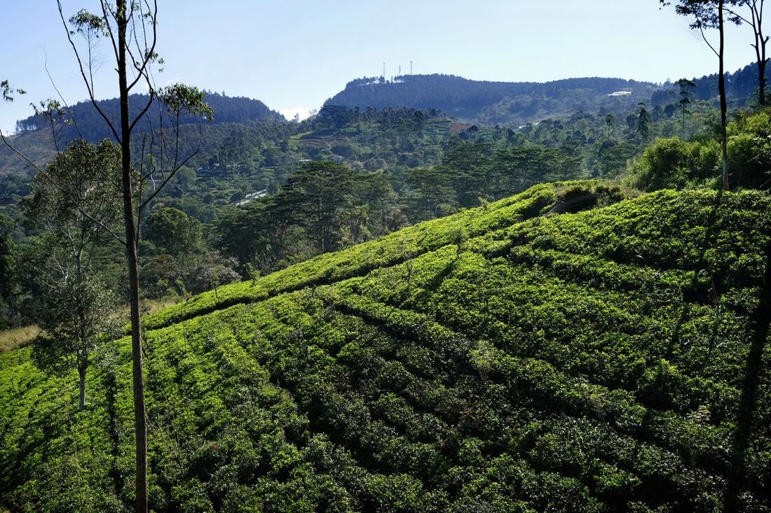
Peacock Hill is the backyard mountain of Pussellawa, which is 40 km (25 miles) south of Kandy and equally 40 km north of Nuwara Eliya. The isolated Monaragala mountain, towering the Kotmale Valley, is clearly separated from the Central Highlands' main range by the Pussellawa Valley. Peacock Hill is the only mountain in the triangle formed by Gampola, Ramboda, and Nawalapitiya.
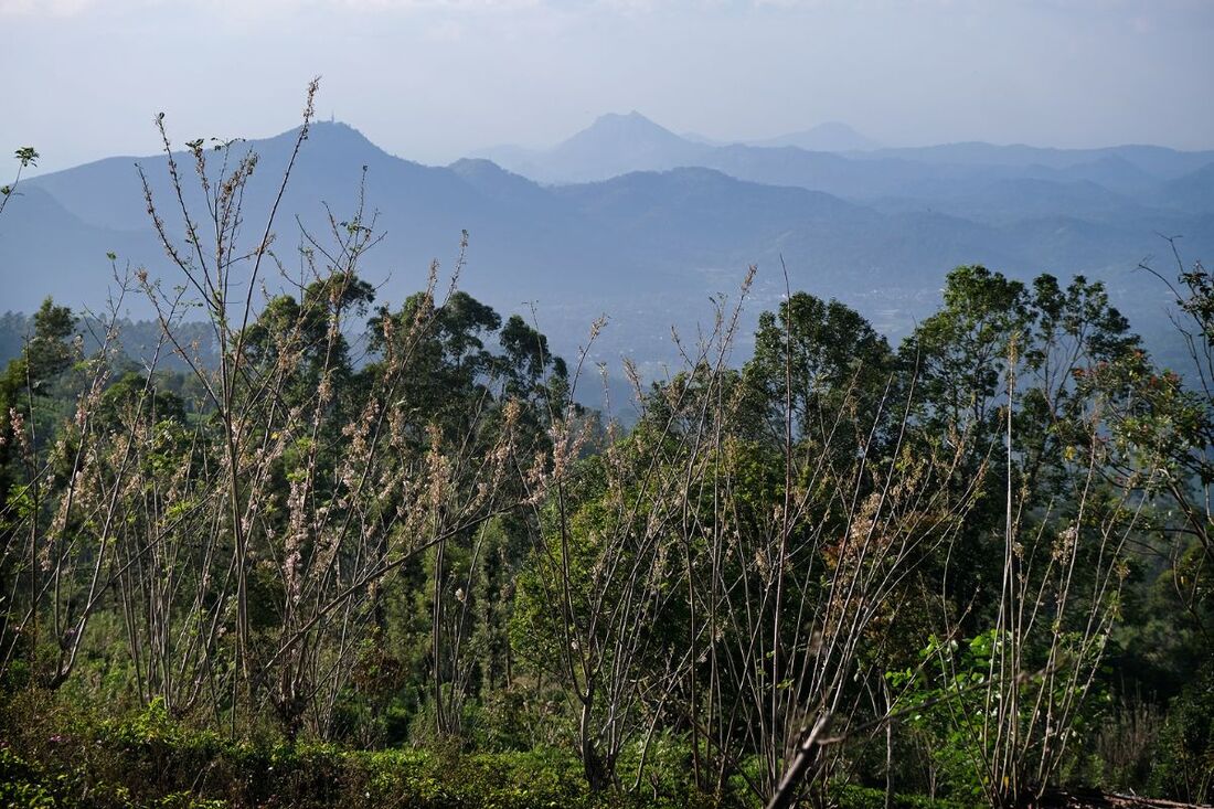
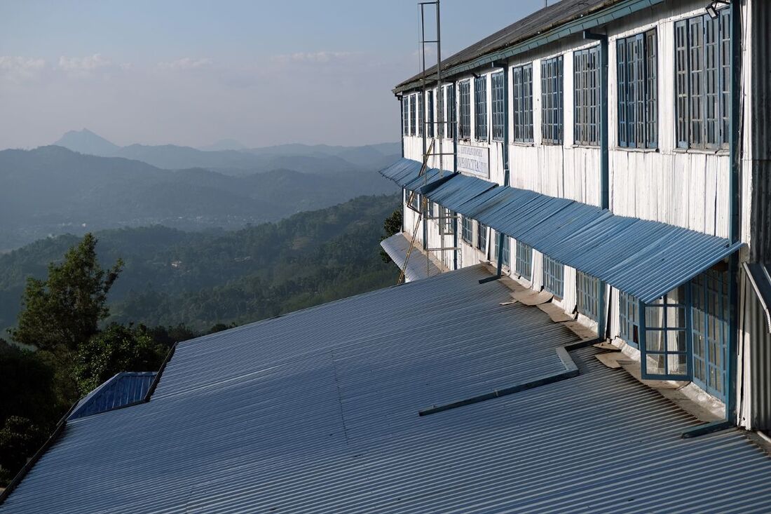
The Peacock Hill can be seen from many view points along the scenic mountain road A5, which is taken by almost all tourists traveling from Kandy via Ramboda to Nuwara Eliya. Travelling uphill from Gampola, you can see the Peacock Hill on the righthand side almost all the time along a 30 km long stretch of the road between Udapalatha and Labugolla. The latter, by the way, has the most scenic A5 view point, particularly near Highgrove Estate. This very best vantage point of the A5 mountain road is situated 3 km before the famous Damro Labookellie Tea Factory. Other nice views to the Monaragala Mountain are from Rothschild Tea Factory near Pussellawa and from Shri Bhakta Hanuman Temple in Tawalantenne. |
Peacock Hill alias Monaragala is just north of the Kotmale Reservoir.
|
|
|
|
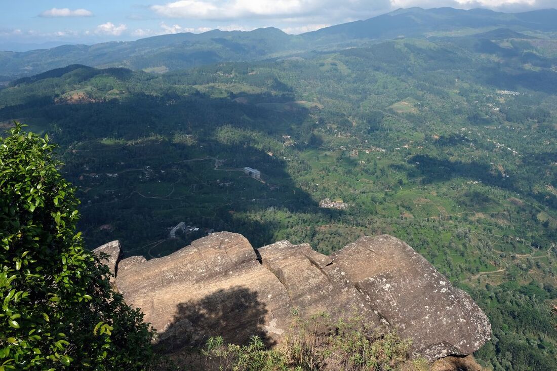
view from Peacock Hill to Pussellawa Valley
|
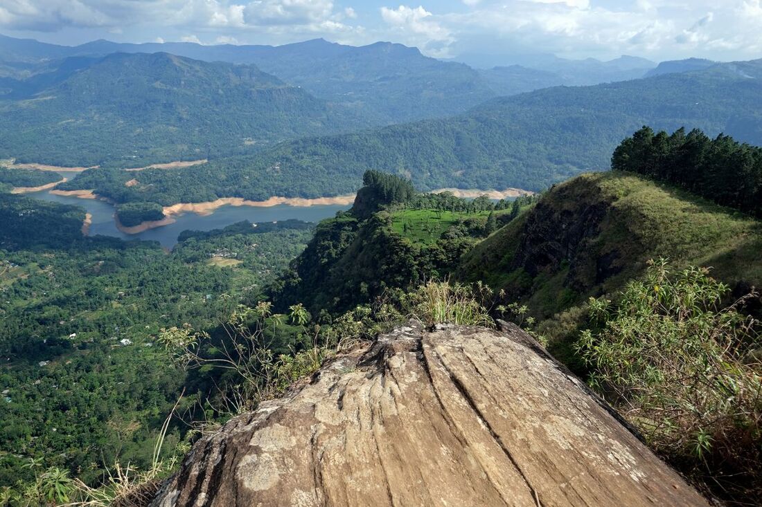
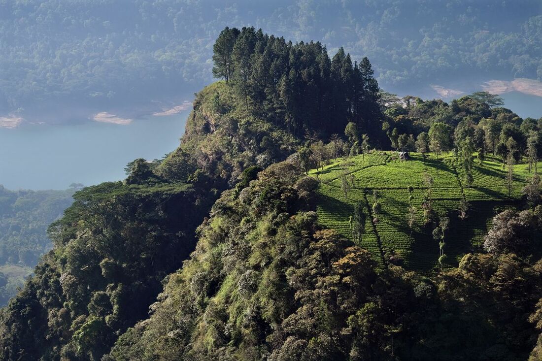
view from Peacock Hill to Kotmale Valley
|
|
For photographers, only the afternoon light is from the back. However, morning hours usually offer clearer views, and the frontlighting might also be appealing, see the sample contre-jour shot (just to the right here).
March has the most sunshine hours in this region. Best chances to enjoy good views are between October and April. Though November and December have the highest rainfall, the lowest precipitation in the area of Pussellawa and Kotmale Valley is June and July. The coolest temperatures on Peacock Hill are in January and highest around May. |
|
|
Find a list of 270 Sri Lanka travel destinations & attractions: CLICK HERE Our illustrated list of places of interest is sorted by travel regions, more precisely: by 22 most recommendable places for overnight stays. All 270 sights are within day-trip distance from one of those 22 major locations. (Please understand: Loading 270 images requires more seconds than usual.) |
|
|
|
Lanka Excursions Holidays
Registration Number SLTDA/SQA/TA/02179
255/24, "Green Park" Dawatagahawatta, Thimbirigaskatuwa, Mahahunupitiya East, Negombo, Sri Lanka
Office: +94 31 223 991 Hotline: +94 71 6097795 [email protected] Lanka Excursions Holidays office hours 8.00 to 6.00 p.m. daily (except from June Fullmoon Day)
|
|

