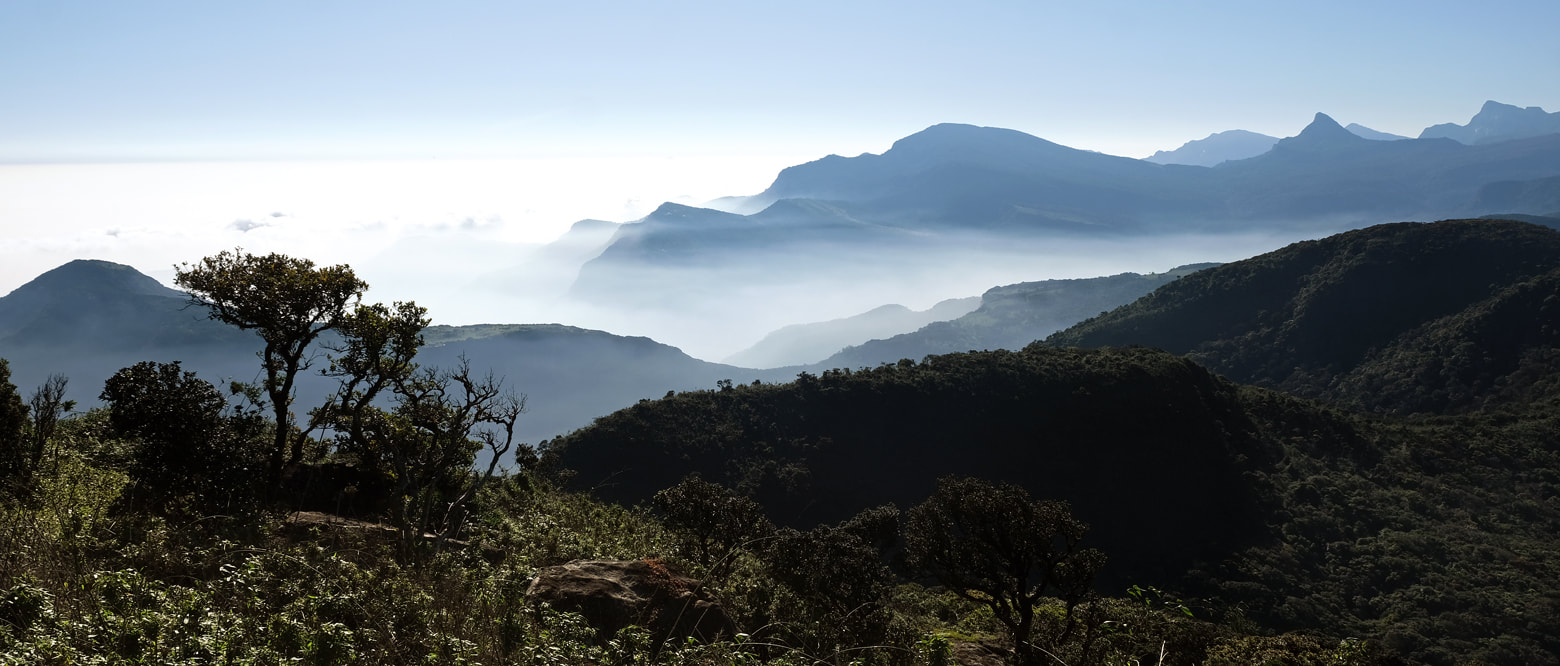
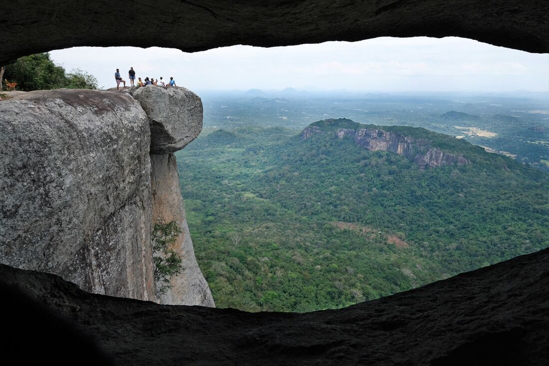
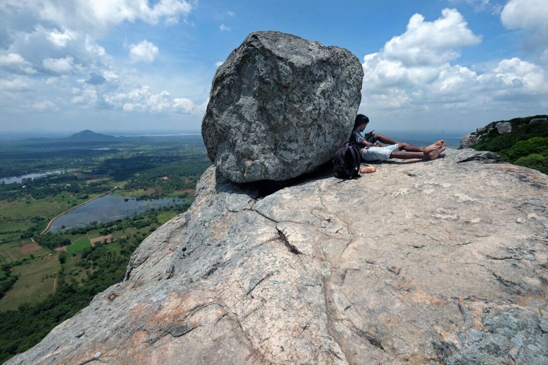
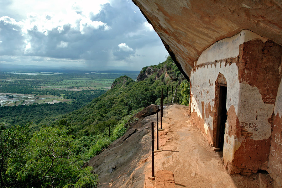
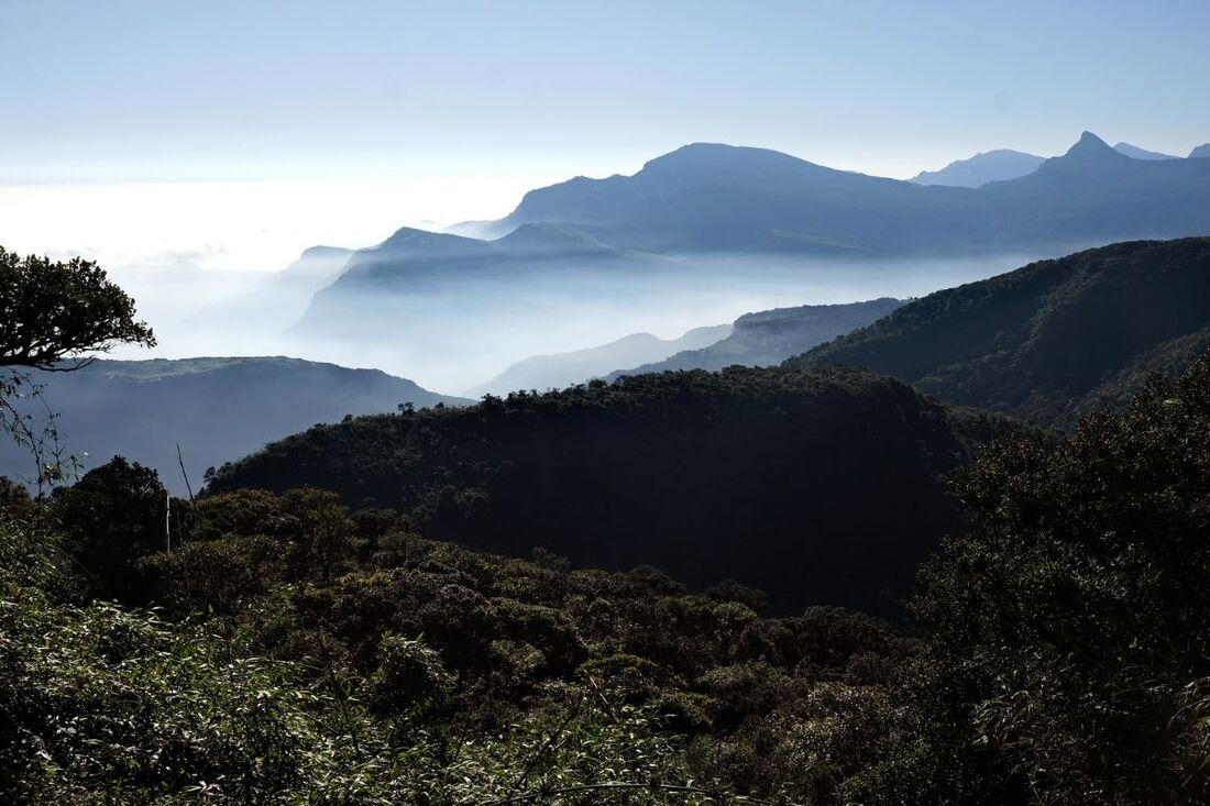
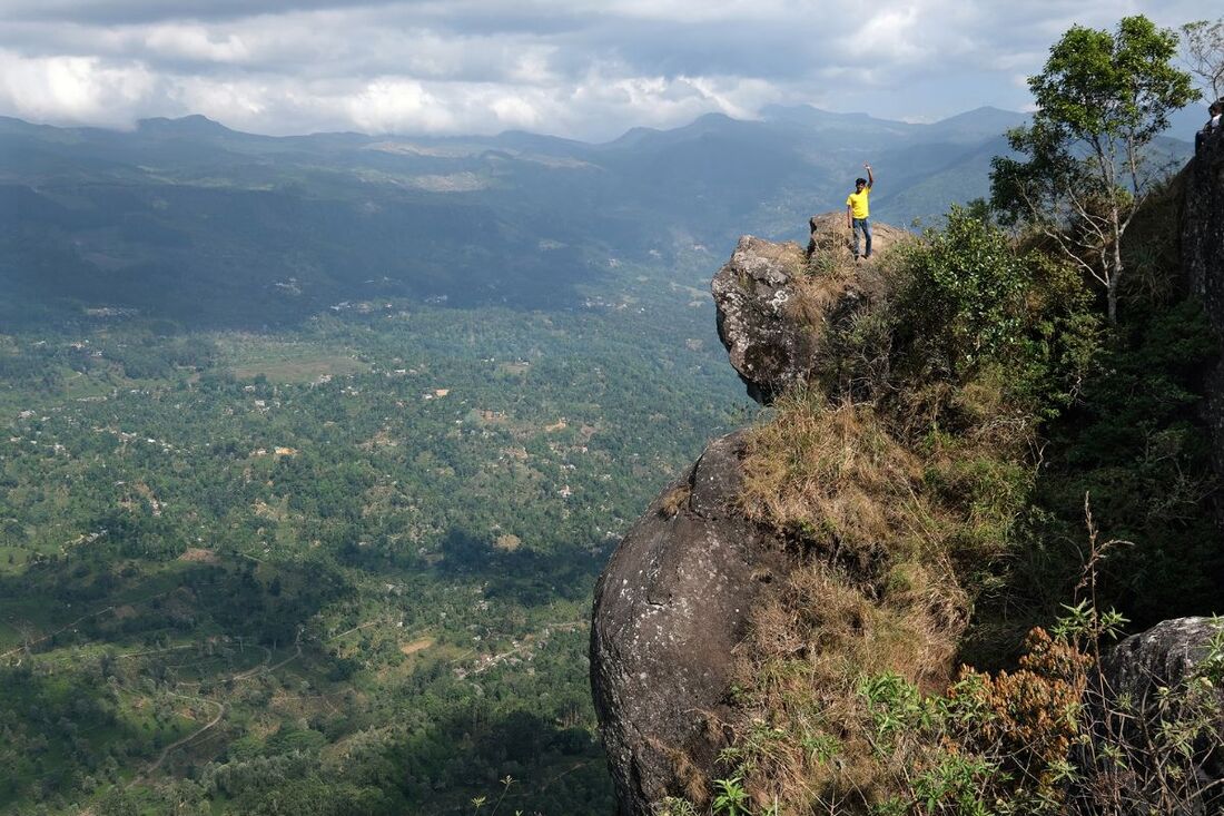
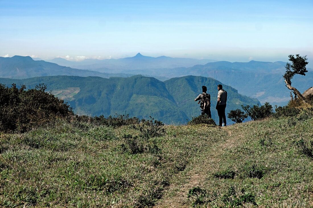
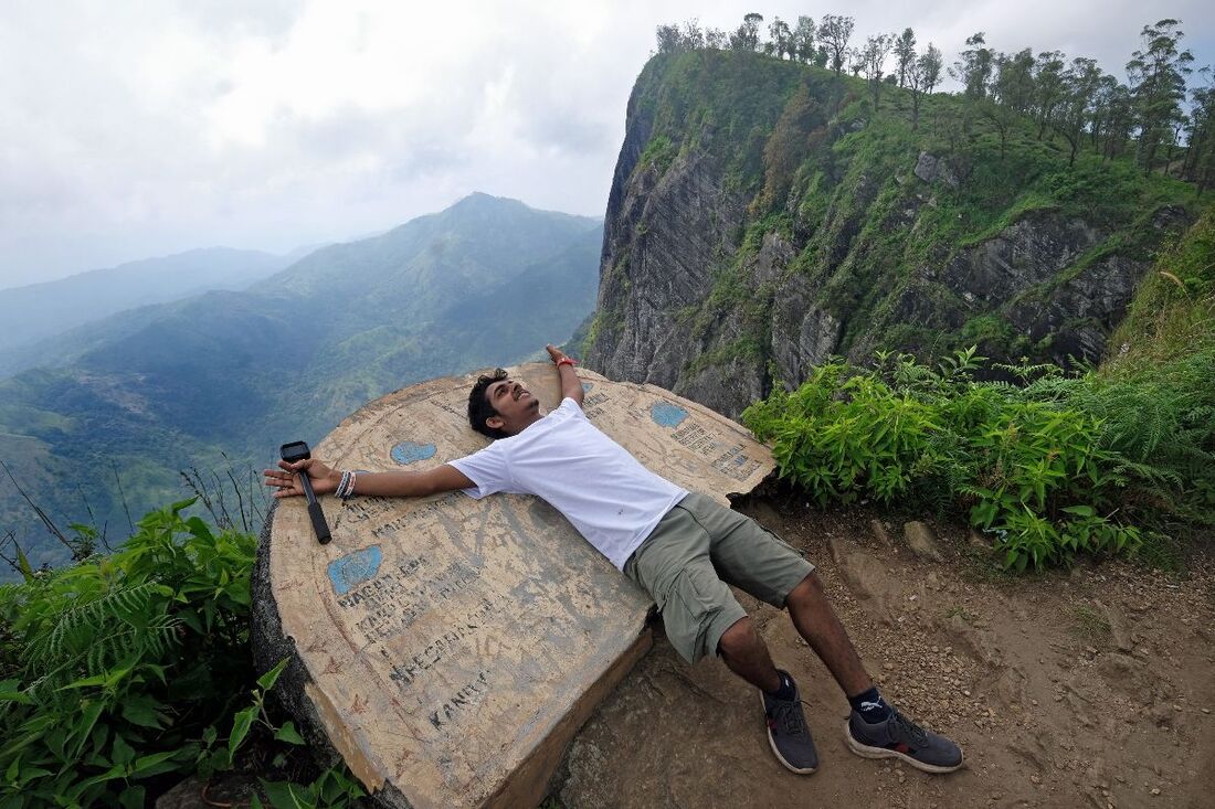
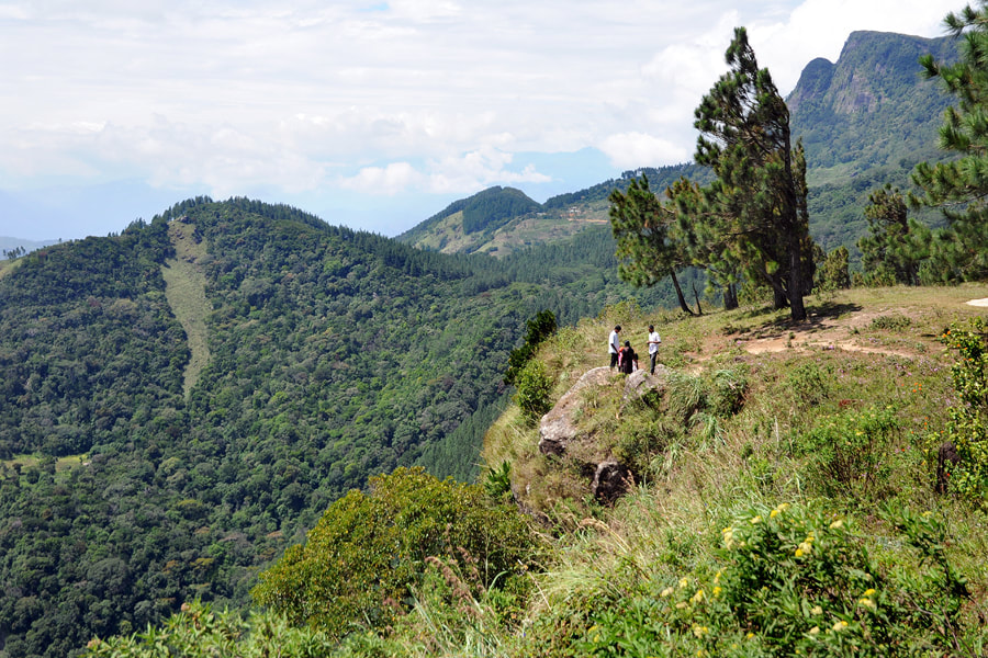
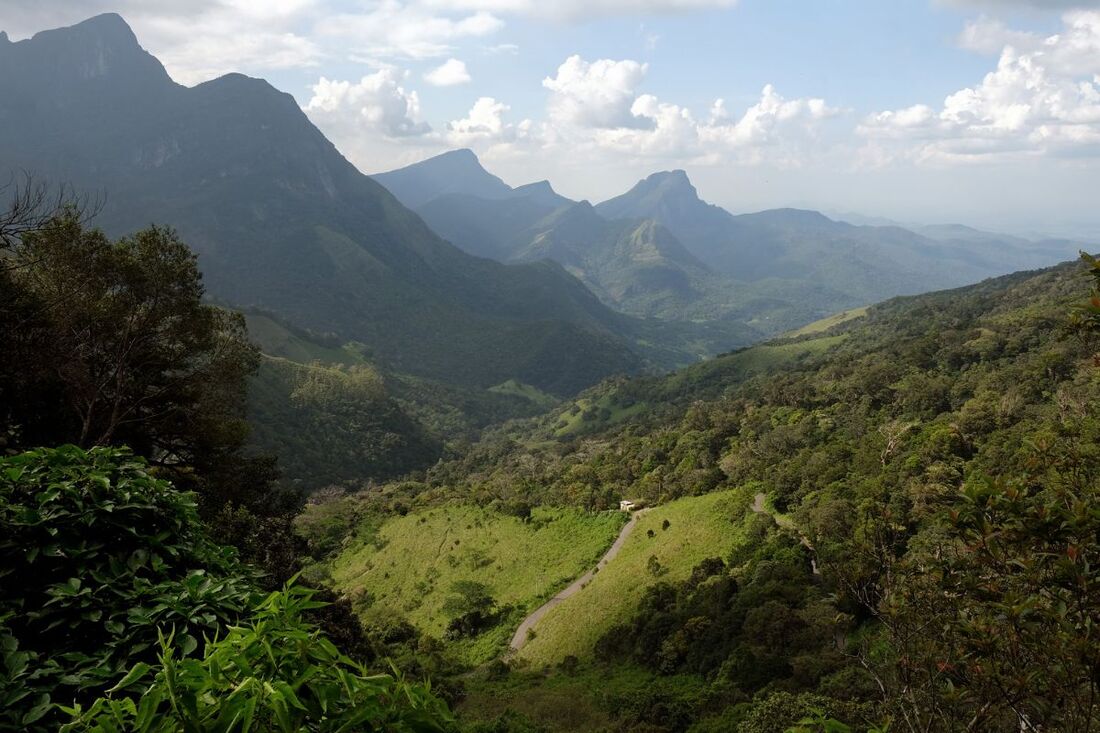
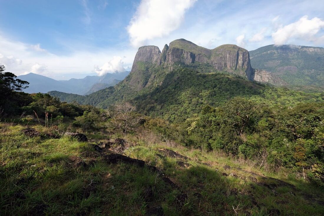
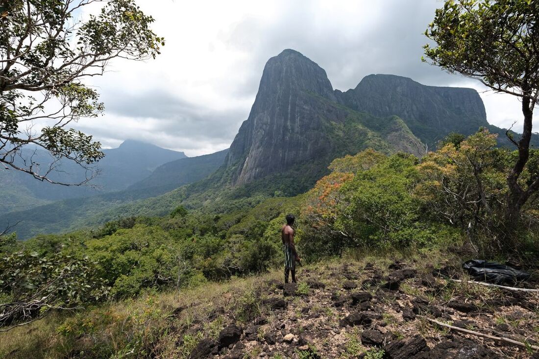
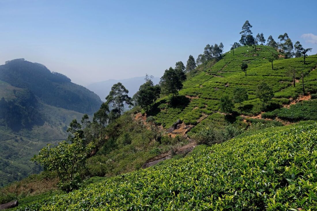
Scenic views are abundant in Sri Lanka. Like in most other hillcountries (or in most other lowlands with isolated peaks), hiking uphill or even climbing is often required to reach the most exciting of the scenic outposts. But in contrast to many other travel regions, Sri Lanka is country of short distances.
|
And this applies to reaching the island's stunning viewpoints, too. Many surprisingly amazing vantage points of Sri Lanka can be visited without much physical effort. So the below list of the most popular - and also some less visited - panoramic views is sorted by degrees of difficulties to arrive at them. The selection in this article is just a first overview, as initial information and maybe inspiration, not an attempt to be comprehensive.
|
Viewpoints that require long or strenuous uphill climbs
The most famous and arguably most spectacular observation point on the island of Sri Lanka is the summit of the iconic Siri Pada, which is better known as Adam's Peak to most foreigners. The 360 degree panoramic view from the summit is overwhelming. However, reaching the platform on the top requires climbing more than 4000 steps (or even more when taking the ancient pilgrimage route from the Ratnapura side). Most pilgrims and travelers do the entire climb in the night, starting around 2.00 am. The flights of steps are lighted during the pilgrim season from December to April. There are numerous stalls offering refreshments on the way, and the path can be quite crowded, particularly on Poya days or extended weekends. Sunrise and the first hour of the new day is the most auspicious time for prayers on the summit and it's also the best time for taking images.
Climbing the rocky peaks in the secluded and untouched eastern part of Knuckles Range, namely Lakegala, Kehelpathdoruwa and Yahangala, is a completely different experience, even more demanding, but in a different way: you cannot reach those summits without using your hands at certain points and without considering an overnight stay in the wilderness. You will rarely meet other hikers to disturb you. This also means, of course, there will be noone far and wide to help you.
Climbing the rocky peaks in the secluded and untouched eastern part of Knuckles Range, namely Lakegala, Kehelpathdoruwa and Yahangala, is a completely different experience, even more demanding, but in a different way: you cannot reach those summits without using your hands at certain points and without considering an overnight stay in the wilderness. You will rarely meet other hikers to disturb you. This also means, of course, there will be noone far and wide to help you.
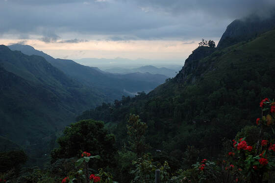 Ella Gap, with Ella Rock to the right
Famous for its panoramic views is Ella in the southeastern region of the highlands. In Ella, there are dozens of guesthouses offering you the shortest walking distances to stunning panoramic views: Just go to your balcony or to the dining hall or the terrace for a cup of tea.
Known from guidebooks - but not overcrowded - is the four-hours hike to reach the vantage point at the summit of Ella Rock. The 180 degree panoramic views from there go to the Namunukula Range with Uva tea plantations and to the lowland area of Kataragama. It takes four hours or more to walk from the small town of Ella in the southern range of the highlands to the top of Ella Rock and back. Starting in Ella town, the first part of the hike runs along the railway line. Ella Rock is a perfect sunrise point. But nighttime climbs on the forest pathes to the summit are should not be done without torches.
Wanderlusty holiday makers who stay a few days in Ella can consider to climb Namunukula, the highest peak far and wide. This is a challenge comparable to that of climbing Adam's Peak, though a humbler altitude difference is to be overcome between trail start and summit. But there are no comfortable flights of steps and no refreshment opportunities along the way up to the main peak of Namunukula. It's a lonesome place. The starting point of the easiest hike to the top is at the pass (mountain saddle) between Spring Valley and Namunukula village. The shorter access route from Ella is via the said village, which is located at the road to Passara. However, from there the dirt road to the said pass and Spring Valley is not recommendable for normal cars and van. The longer route via Demodara and Spring Valley should be preferred. Concerning Spring Valley: Further downhill at the slopes of Namunukula, in the direction of Badulla, is the Diyanagala viewpoint, which is easy to reach and has an observation platform. A very beloved hiking destination with phantastic views in the Badulla region is Narangala just at the opposite side of Badulla town. Narangala is of the medium category that follows below:
Viewpoints reachable on hikes of less than 4 hours in total
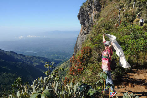 Little World's End of Horton Plains
Sri Lanka's most popular half-day hike is the round trail on Horton Plains to Baker's Falls and to the two escarpments called "Big World's End" and "Little World's End§, which offer 180 degree panoramic views to the foothills and the southern plains and to the hills of the Sinharaja rain forest. You should arrive at the vantage points before 10.00 a.m, to have a chance to enjoy the views, before the clouds will be drifting into the high plain. You rarely can do this hike without meeting dozens of other families or groups, locals and tourists alike. A less frequented, but longer hike goes to the highest peak of Horton Plains, Kirigalpotha, but the standard route is more recommendable. Combining both hikes requires a full day, minimum.
Some guests prefer tranquility over popularity. For them, we highly recommend Chariot Path high above Ramboda. Confusingly, Chariot Path is neither the name of the hiking trail nor accessible for vehicles. Rather, the name refers to the destination and its legendary origin: the grassland plains on a mountain saddle in Sri Lanka's main mountain range are said to have been left as spurs of the flying chariot of the demon Ravana. The grasslands of Chariot Path are not as vast as those on Horton Plains, and the pigmy forest is not as impressive. But the views are even more stunning and many more Heen Bovitiya flowers are growing along the way. You must see it to believe it. The uphill part of the climb through the montane forest takes around one hour. Reaching the starting point in Frotoft Estate, however, is much more difficult than driving to the central car park of Horton Plains. Frotoft has only very bumpy dirt roads. As it's recommendable to reach the summit as early as possible in the morning, you should consider a stay nearby, in Pussellawa or Ramboda, for the night before the climb. Or you could do what Sri Lankan youths enjoy: camping on the plains of Chariot Path.
Kondagala in Loolecondera Estate is a rock with a vertical escarpment the top of which offers a 360-degree panoramic view. Though Kondagala is not far from Chariot Path on the map, the main access is from just the opposite side of Sri Lanka's central mountain range, to which both Chariot Path and Kondegala belong. Actually, the uphill hike from the car park to the summit of Kondagala is only 1 km long. But it's very steep, though not requiring any mountaineering skills. And the car park close to James Taylor Seat, another viewpoint of Loolecondera Estate, is very difficult to reach, the dirt road is almost impassable for normal cars.
Not far from the normal touristic routes are the peaks of Hanthana, the backyard mountain of Kandy. The hike from the mountain pass near the Ceylon Tea Museum to the broadcasting towers is short, but the last part is steep and therefore strenuous. After arriving at the towers, the rest of the walk on the crest is comfortable again and offers views to almost all ranges of the central highlands (except from Namunukula and Madulsima). Clear weather provided, you can see Knuckles Range in the one and Adam's Peak in the other direction. The three peaks between Matale and Dambulla and Kurunegala can be seen closer by, then the lonesome volcano-like Alagalla, the Dolosbage Range near Nawalapitiya, and of course the central range of Pidurutalagala, also some hills of the Udapussellawa tea region.
One of Sri Lanka's most charming and also most striking viewpoints - and also one of the least known - is Mathalagala between Meemure and Narangamuwa. It's an elevated Pathana grass plain with outlooks into all directions. Unforgettable is the view to the nearby peaks of Lakegala. Starting from Narangamuwa (near the area of Kaluganga reservoir and Hettipola and Wasgomuwa National Park), the hike to Mathalagala is not too exhausting, it's manageable within less than 4 hours up and down. However, advancing from the other side, from Meemure, which is touristically a little bit more developed, normal hikers will need 5 to 6 hours in total, though the trail is not much longer. But it's more difficult to walk and the path has to overcome a higher difference of altitude and it's going up and down in parts. From Meemure, Uda Pathana is a shorter alternative for enjoying equally stunning views of Lakegala. The walk to the vantage point of Uda Pathana takes roughly two thirds of the way to Mathalagala. So for the hike from Meemure to Uda Pathana and back 3 to 4 hours will be sufficient. But the last 300 meters (1000 feet) are without trail and crossing thorny thicket, a guide with machete is highly recommendable for visits of Uda Pathana.
Another wonderful viewpoint that requires only medium-range efforts to reach it is Karabagala in the abovementioned Dolosbage Range. The only reason why it's almost unknown to foreign travelers is that it's in the rarely visited area of Nawalapitiya. However, travelers from Kandy to the river rafting destination Kitulgala cross Nawalapitiya when taking the shortest route. They could consider an early start in Kandy or an additional overnight stay in the area of Nawalapitiya town or Dolosbage Range to take the opportunity to walk to the amazing cliffs of Karabagala.
Stunning vantage points surprisingly easy to reach
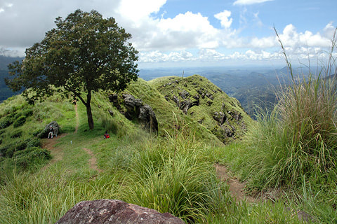 summit of Little Adam's Peak
Sri Lanka's number one destination for short and easy hikes is Ella, the small highland town already mentioned above as a vantage point in itself. The best viewpoint in the near surroundings of Ella is the so-called "Little Adam's Peak", which is close to the Ravana zipline. The hike from the car park to the top is not strenuous and only 1.5 km long, just one mile, and only the last third of the trail is uphill.
Even more famous is Lipton Seat near Haputale, named after Sir Thomas Lipton, founder of the tea company of this name, who indeed loved to sit at this outlook with views to two completely different regions, the highlands as well as the lowlands. Actually, the views where one reason for him to settle down in this area. It's possible to reach the vantage point by tuctuc. Most guests use this service uphill and then walk back downhill a few kilometers.
Another illustrous name on the shortlist of exciting viewpoints is Riverston, just at the opposite end of Sri Lanka's central highlands, this is to say: to the north, in Matale District. The comfortable gravel road (not permitted for vehicles of travelers), running from the car park at the Riverston mountain pass to the Riverston broadcasting towers, is only 2 km long and not at all steep. However, the access road to the pass is in a poor condition (though regular busses take this route). And there is another obstacle to enjoy the incredible panoramic views of Riverston: This vantage point is in the clouds for most of the time. To put it in other words, the risk not to be able to enjoy any view at all, is significantly higher at Riverston than at any other outlook mentioned in this overview list. Taking the difficult road to Riverston, therefore, should only be decided on short notice. Definitely, the morning hours offer best prospects.
An easy hike of almost the same length allows to reach the top of the so called Peacock Hill, known as Monaragala in the Sinhalese language. This is not to be confused with the town of the same name, which is in the southeast of Sri Lanka, whereas the Monaragala Mountain is in the central region of the highlands. Peacock hill offers a 270 degree panoramic view from a quite spectacular rock. The starting point of the trail, however, can only be reached via bumpy mountain roads. It's better to take a tuctuc from Pussellawafor the ascent, when being on a car or van round tour in Sri Lanka.
Sri Lanka's Escarpment Viewpoints called "Mini World's End"
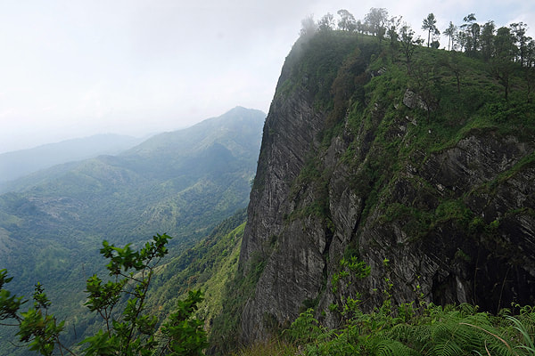 Madulsima Mini World's End
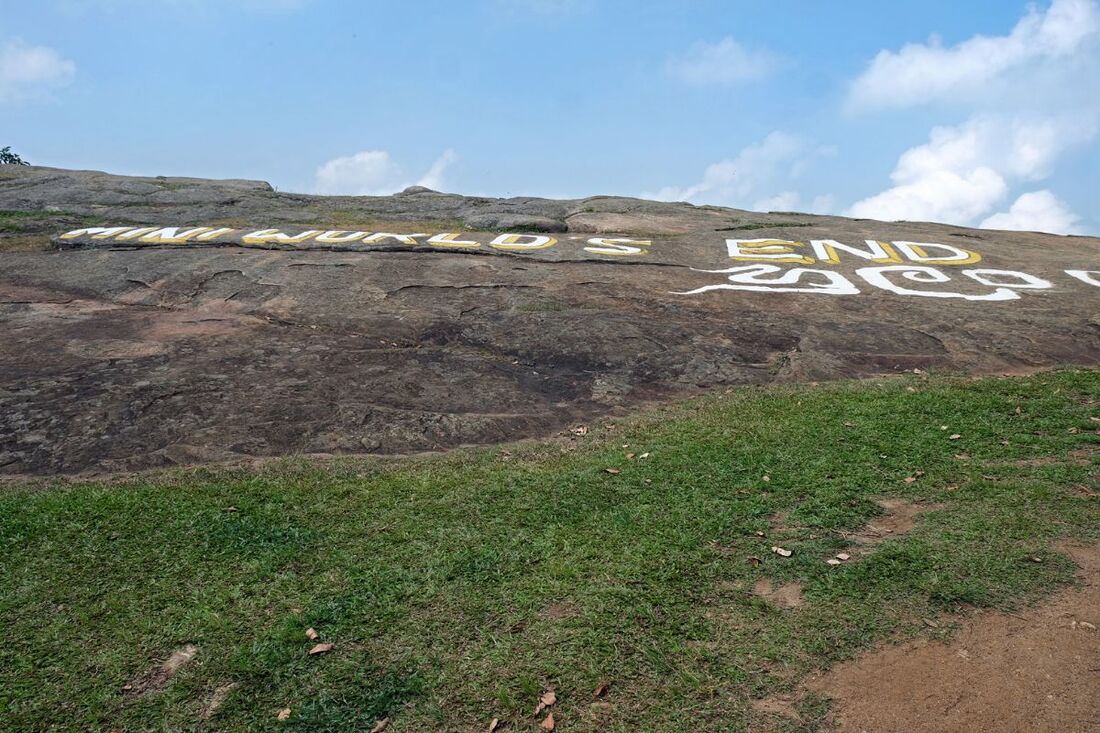
Following the appealing naming of the Horton Plains escarpments as "Big World's End" and "Little World's End", several more viewpoints atop vertical scarps of Sri Lanka have been branded similarly - but respectfully: "Mini World End's". Of these, the almost unknown Karaganathenna (to the north of Riverston) is of the "strenuous category" (more than 4 hours), whereas Hatale Mini World's End (to the south of Riverston) falls into the medium category (less than 4 hours). However, Kalabokka 360 Upper Division Point is a panoramic viewpoint is in the same region as Hatale. These hills, situated in the area of Madulkele, are sometimes considered to belong to Knuckles Range in a wider sense. However, strictly speaking they form the Campbell's Lane Forest Reserve, which is divided from the Knuckles Forest Reserve by the river valley of Huluganga. Even more confusing is the name of the mountain range to which Hatale and Kalabokka belong, Hunnasgiriya, because there is another Hunnasgiriya in the area of Knuckles Range. The other Hunnasgiriya is a village on the mountain pass between Kandy and Mahiyangana, it has also has a high rock and phantastic viewpoints, by the way.
All the other Mini World's Ends of Sri Lanka require only very short hikes. In the degree of efforts to reach them, they are comparable eith the easy hikes to the Riverston Towers or to Little Adam's Peak of Ella. These easilya accessible Mini World's Ends are:
Pitalawa Patana near Riverston is a grassplain abruptly ending at a vertical cliff, just like Horton Plains at the opposite end of the central highlands. The Mini World's End of Pitawala Patana allows to take pictures of the escarpment from a side angle. This is why many visitors are posing on the edge to be photographed. Actually, this side perspective might be even more amazing than the 180-degree views of Pitawala Patana Mini World's End, which go to the north.
Deanston Mini World's End is in only 1 km distance from the car park of the Forest Department Office at Deanston. It's definitely worth a break, when traveling to Corbett's Gap (which is a viewpoint at a car park) or Meemure. Th 270 degree panorama of Deanston Mini World's end goes to the eastern direction. It's a sunrise point, but for taking images of the scenery, the afternoon light is more favourable.
Hulangala Mini World's End to the northeast of Matale requires a walk of only 2 km from the ticket office. The 180 degree panoramic view at the escarpment goes to the northwest.
Far away is Madulsima Mini World's End in the region between Badulla, Passara, and Bibile. Madulsima has a 180 degree panorama to the east, framed by a spectacular scarp to the right and, to the left, a long row of hills all of which surmount the plains around Bibile by almost 1000 m (3000 feet), with very steep slopes. Madulsima is famous for it's picturesque weather conditions of morning fogs and deep clouds, forming below the mountains and then blown into the Madulsima mountain range. Chances to enjoy such dynamic picturebook views are best in February and March.
Also viewpoints on smaller cliffs of Hanthana near Kandy and Moon Plains near Nuwara Eliya are called "World's End" sometimes.
--- Excursus ---
Viewpoints outside the central highlands of Sri Lanka
The lowlands of Sri Lanka are dotted with isolated table and pinnacle rocks and hills. Many of them are phantastic viewpoints, too. The best example is Eth Vehera, the highest peak of the Mihintale Hills near Anuradhapura.
The most noteworthy vantage point - apart from the summit palace ruins of the spectacular lion rock of Sigiriya itself - in the plains of of Sri Lanka's Cultural Triangle area might be the Pidurangala rock due to its perfect view to Sigiriya. The 360 degree panorama od Pidurangala overlooking the entire heartland of the ancient Sinhalese civilization is not at all only second to that of Sigiriya.
Only 2 km south of the Mihintale Hills is Katupotha Kanda. The views from the rock on the top to the plains and their myriads of tanks are great. But there is no hiking trail to reach the top. And the climb is dangerous.
In the area of Polonnaruwa, Dimbulagala is the highest crest. It's also a wonderful hiking destination with numerous vantage points. Easy to reach is the watchtower-like white pagoda called Akasa Chaitya, which has an observation balcony. It's situated at the western end of the Dimbulagala Range, just above the monastery, where the short uphill trail starts.
In the Kurunegala District, the most noteworthy rock summit for scenic views is the ancient site of Yapahuwa. Like Sigiriya, it's a cultural attraction in the first place. But many ancient sites in Sri Lanka are of natural beauty, too.
Dolukanda, not far from the Colombo-Kurunegala-Damulla-Trincomalee main road, is an elongated mountain, which surprises with several distinct viewpoints into all directions, including sunrise and sunset point at its northern tip.
Pictures of Viewpoints in the Central Highlands of Sri Lanka
for opening a destination page in a new tab, please click the image
for going to the destination page in the same tab, please click the name in the text line below the image
for going to the destination page in the same tab, please click the name in the text line below the image
