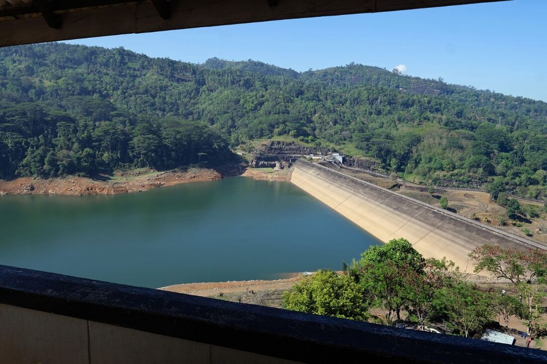
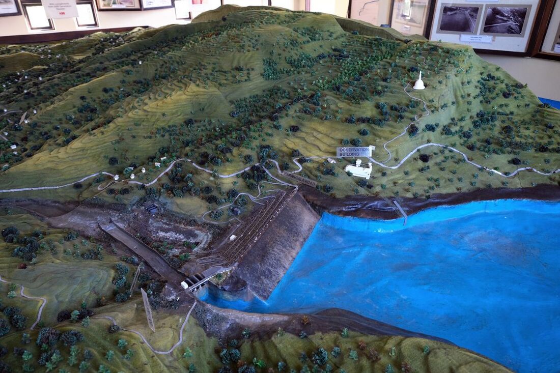
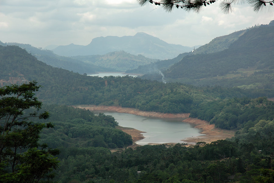
Most tourists traveling from Kandy to Nuwara Eliya see Kotmale reservoir from a distance, viz. from the view points between Talawantenne and Ramboda, this means, from an altititude almost 300 m above the lake level. Those who have time for an additional 3 to 4 hours excursion could consider a detour to the dam and the Kotmale Dam Museum at the opposite side of the lake and to the nearby Kotmale Mahaweli Maha Seya. Very low water levels of the reservoir provided, the most amazing attraction near the dam is the "hidden temple" of Kadaroda, which is usually submerged in the lake.
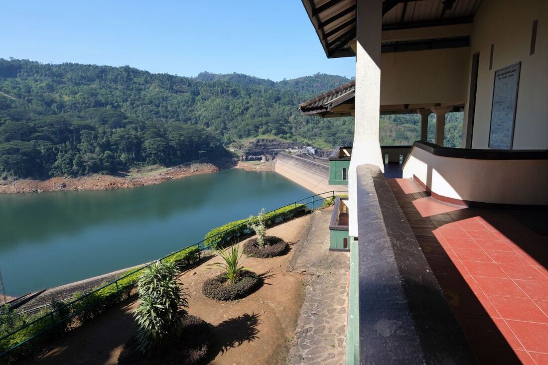
The information centre called Kotmale Dam Museum has been established at the B431 in only 1 km (0.6 miles) road distance from the dam. The terrace of the museum is the best view point overlooking the dam. Opening hours of the Kotmale Dam Museum are from 8:30am to 4:30pm.
The amphitheatre-like Kotmale valley is about 5 km wide at the widest point. It's surrounded by cliffs of up to 300 m (1000 feet) height on both sides, the narrowest being near the dam construction.
History of the Kotmale Dam
A first plan for the construction of Kotmale Dam had been proposed already in 1961 in the context of the then initiated Mahaweli Development Program, Sri Lanka's ambitious modern hydropower and irrigation scheme. A feasibility study was carried out between 1973 and 1976. Snother feasibility study was conducted with Indian assistance from 1973 till 1976.
Kotmale was finally constructed under the so-called Accelerated Mahaweli Development Program (AMDP), implemented from 1977 to 1983. In 1977, J. R. Jayewardene's UNP government speeded up the program to complete within 6 years instead of the previously targeted time span of three decades. The Government of Sweden financially assisted the dam project. The minister of the program was Gamini Dissanayaka, who later on became the leader of his party 1994, a few months prior his assassination by a suicide bomber.
Construction works to span the rock-fill dam from the the Kadadora and Tispane hills, blocking the Kotmale river, began in 1979 and were finalised and the dam commissioned in 1985. The filling of the reservoir began already in November 1984, almost at the same time as the other two major dams within Sri Lanka's central higlands, namely Victoria 1985 and, only one year later, Randenigala 1986, both of which are larger in size. Kotmale is the uppermost reservoir in the reservoir network constructed under that scheme.
The Kotmale Reservoir flooded more than 4000 ha of fertile land of the upper catchment, including 600 ha of paddy fields. In the area inundated by the reservoir there lived about 3,000 families with 15,000 persons in about five dozens of villages. They had to be resetttled. Only about one third of them left the region to accept the offer of newly irrigated land in the dry zone plains. However, most of them settled down in new villages in the surrounding tea growing region, not far from their former homes.
The Kotmale valley was infamous for landslide activity anyway. But the raised water level in the reservoir could further contribute to further soften the underground of the cliffs and the scree slopes, thereby increasing landslide risks.
On 11 April 2003, the lake was renamed Gamini Dissanayaka Reservoir on an initiative of then Prime Minister and UNP leader Ranil Wickremesinghe.
Size of Kotmale Dam and Reservoir
With a storage capacity of 174 million cubic meters (141,000 acre feet), Kotmale Lake is the largest reservoir upstream of Kandy. However, it is not on the same scale as the contemporary reservoirs further downstream, such as Randenigala (860 million cubic meters) and Victoria (720 million cibic meters), the latter operating the largest single hydropower station of the island nation.
The Kotmale dam, situated 640 m (2100 feet) above mean sea level, was constructed with three sluice gates, which can be opened to discharge waters when the reservoir is at spill level. The crest length of the rock-fill dam is about 520 m (1700 feet) in straight line at the crest and 600 m (1960 feet) in total (including the width of the spillways). The height is about 60 m (200 feet) above the valley below and 87 m (285 ft) above the foundation of the structure.
Water is conducted through a 7.2 km (4.5 miles) long tunnel to an underground hydroelectiv power station located at Atabage, the first of this kind in Sri Lanka. Three turbines generate 67 megawatts each. With 201 MW in total, the hydropower station is only second to that of Victoria, which generates 210 MW. After power generation, the water is discharged through a 645 m (2116 feet) long tunnel to the Mahaweli Ganga.
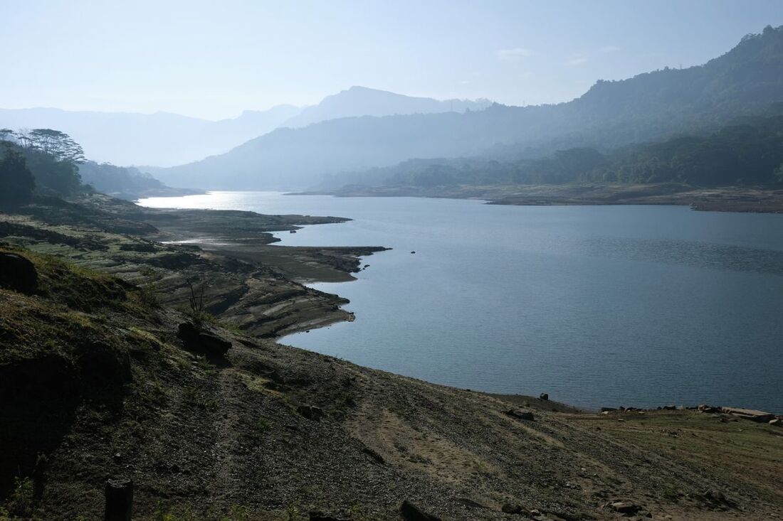
The Kotmale Reservoir, officially called Gamini Dissanayake Reservoir, has a catchment area of 563 square km (217 square miles). The artificial lake is mainly oriented in an east-west direction, but at the inflow of the Kotmale Oya is north-south. The surface area of the reservoir at full supply level of 174 million cumbic meters measures 6.15 square km (2.4 square miles), with a length of 6.8 km (4.2 miles) and a maximum width of 1.4 km (0.9 miles). The width is about 1 km near the dam. The entire shoreline at full supply level measures 45 km (28 miles). The maximum depth of the lake, found near the dam, is around 75 m (250 feet).
The minimum supply level, referring to the lowest level for operating the hydropower station, is 38 m (125 feet) below the full supply level. At minimum supply level, the reservoir carries 20 million cubic meters (16,000 acre feet)and covers 1.7 square kilometers (0,7 square miles). The lowest water levels are usually in February.
