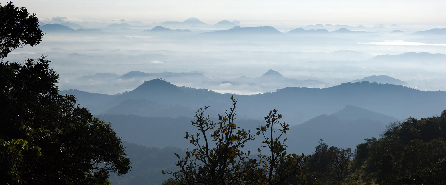
If you are looking for an unforgettable hiking experience that is not too demanding and completely off the beaten path, then the place you should consider is Mathalagala in the northeastern part of Knuckles Range. Mathalagala, almost unknown to foreign tourists, has one of the most spectacular panoramic views in Sri Lanka, which otherwise is not poor in scenic vantage points at all. The hike from Narangamuwa to Mathalagala is easy, but the starting point of the path, not surprisingly, is far from the classic tourist route, though not too far, viz. 68 km (42 miles) by road from Dambulla or 99 km (62 miles) from Kandy via Riverston.
A detour to Narangamuwa for a hike to enjoy the views from Mathalagalais perfectly manageable for those traveling from Dambulla to Mahiyangana instead of Kandy. A hike to Mathalagala can be easily combined with vehicle drives to Wasgomuwa National Park, which is 31 km (19 miles) to the northeast by road, and to Pitawala Patana Mini World's End and Riverston view point (car park), which are in 36 km (22 miles) resp. 42 km (26 miles) road distance to the west.
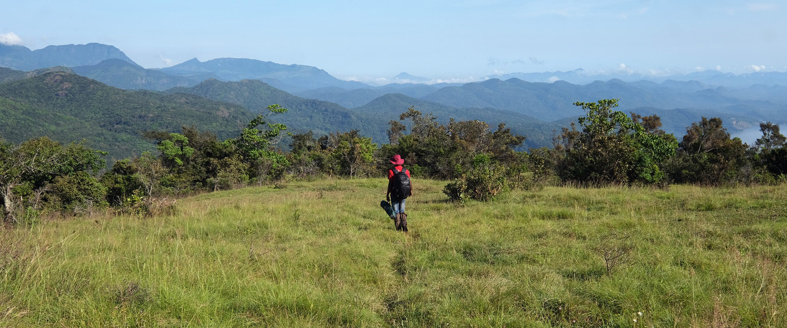
Mathalagala, also known as Dewalagala Plains, is a crest of a hill in an elecation of 894 m (2933 feet) aboce sea level. The crest is a grass plains covering almost 15 hectares. These are so-called Patana Plains, which occur at several places in Sri Lanka's central highlands and seem to be of natural origin. Villagers of the surroundings sometimes use the grassland of Mathalagala for keeping their cattle. This is one reason that you should not go there without a local guide. The other reason is that it is not easy to find the correct path alone. Nonetheless, Mathalagala is sometimes used as a camping site by Sri Lankan trekkers. However, chances to meet any other people on the top of Mathalagala during a one-hour stay are far below 50%. It's a truly lonesome place for most of the time.
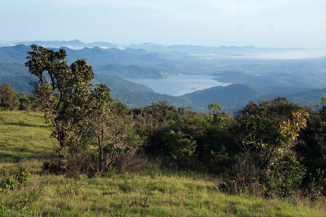
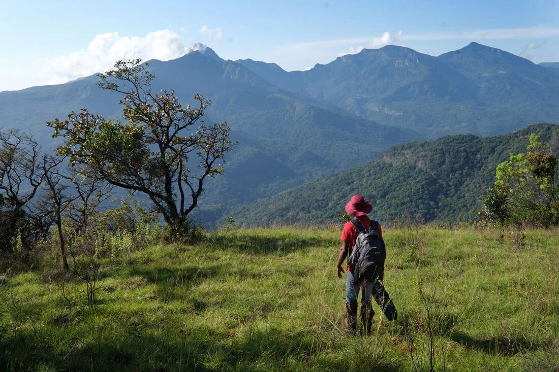
Though not from one and the same spot, but from different edges of the plains, you can enjoy a 360 degree panorama from Mathalagala. To the north is the Kalu Ganga reservoir, to the east are the hills of the Maduru Oya National Park. To the south you can see the valley of Meemure, framed by several peaks of Knuckles Range, from Alugal Kanda to the right to Kehelpathdoruwa to the left, with Dumbanagala near Corbet's Gap in the center.
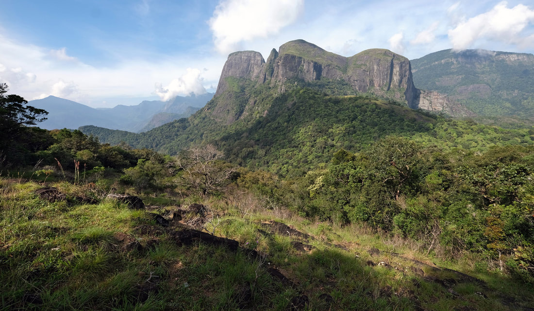
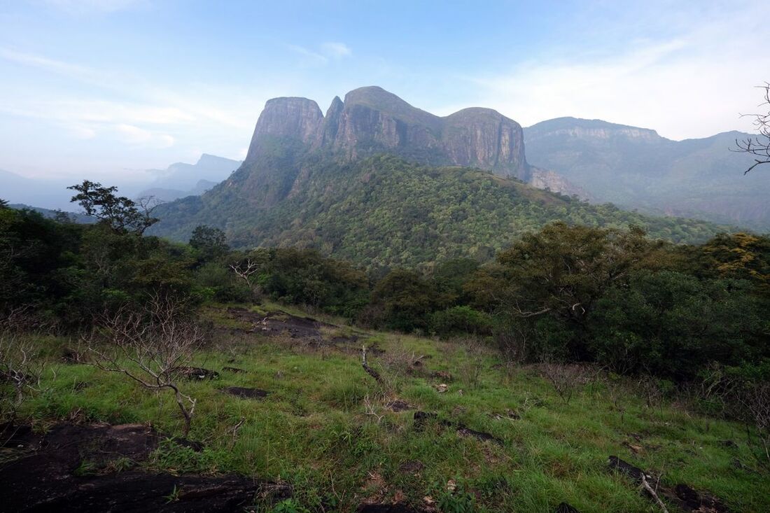
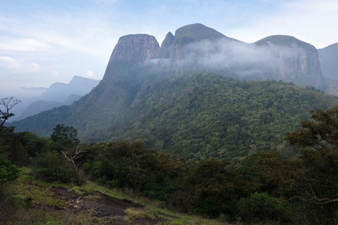
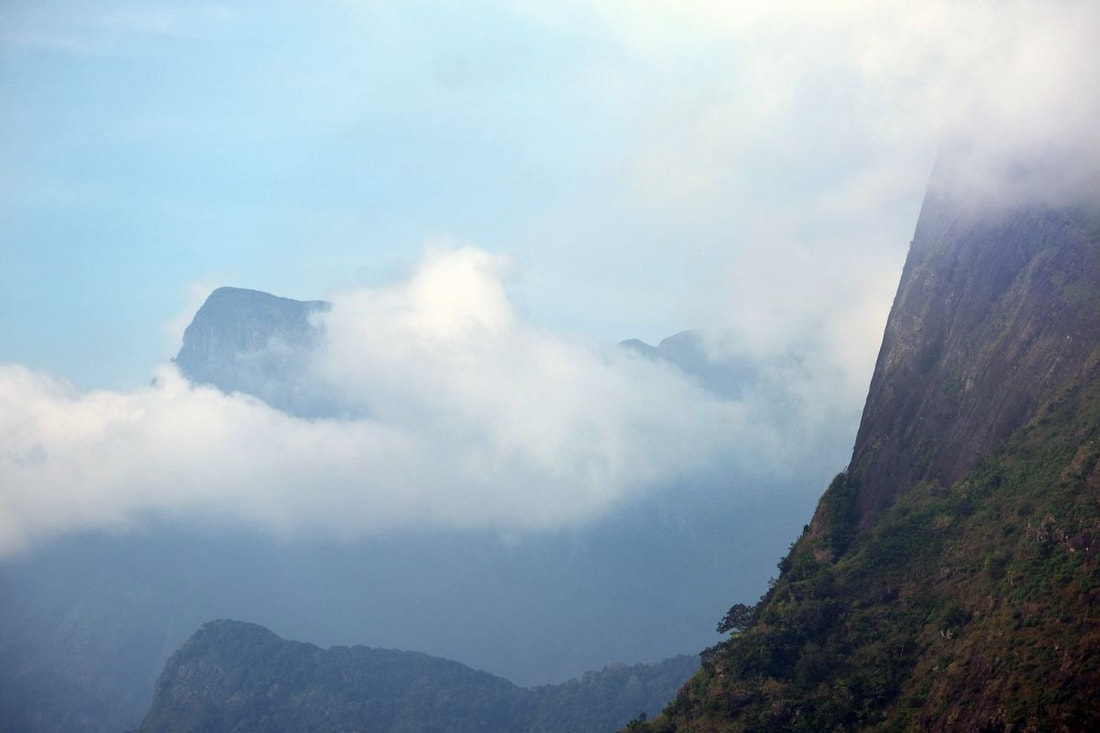
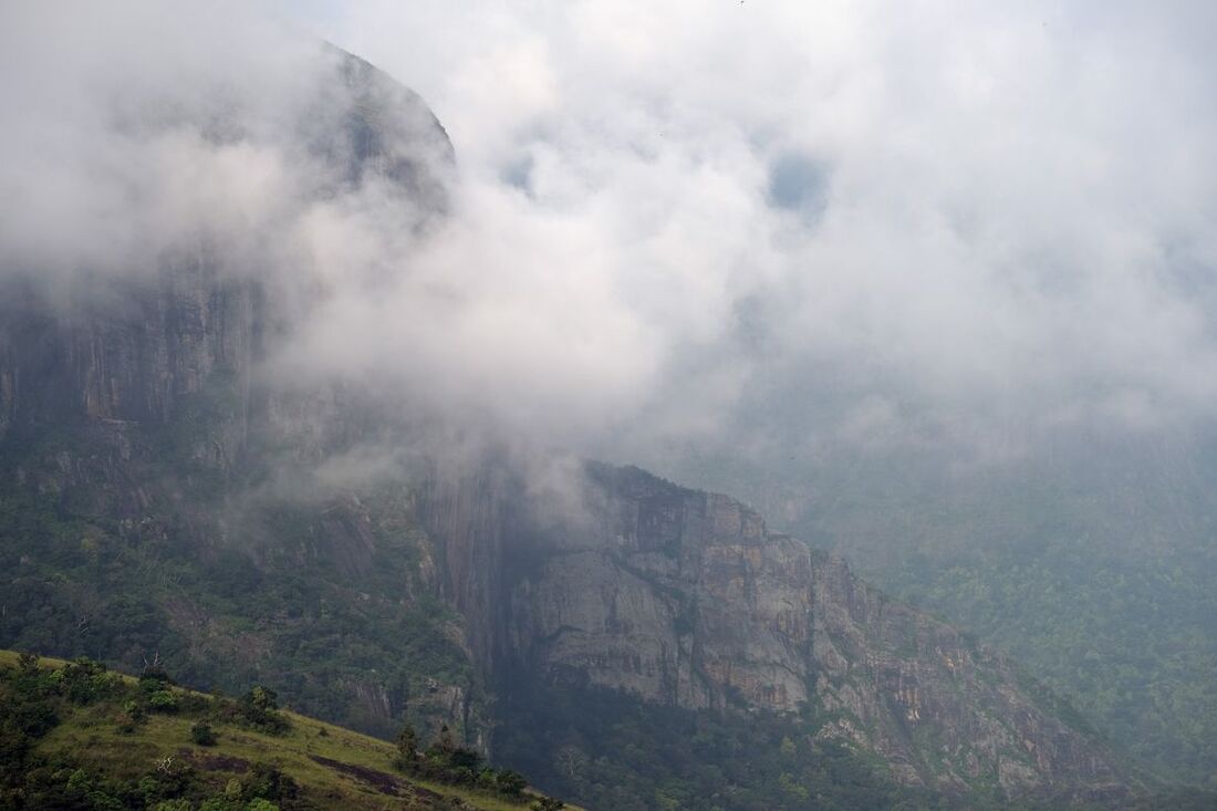
Doubtlessly, the by far most breathtaking view is to the mountain of Lakegala, neighbouring Mathalagala to the west. There are only few sights in Sri Lanka that can compete with this truly amazing view. But to be precise, what you see, is called Gal Thuna, which translates to "Three Peaks". Lakegala being the steepest one, seen to the left. The highest peak is Meeriyagolla in the center. The cliffs to the right are those of Komalewa, which is also known as "Narangamuwa Lakegala", because it faces the village of Narangamuwa to the north.
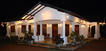
As said, the easiest hike to the plains of Mathalagala is from Narangamuwa at the northern side of Knuckles Range. From the Narangamuwa temple or Knuckles Reach Nature Villa, this hike takes only 1.5 hours uphill, minimum 1 hour for normal hikers, though the trail is only 3 km (2 miles) long. The difference in altitude between Narangamuwa village and Mathalagala plains is about 400 m (1300 feet). A second option to hike to Mathalagala is starting in Meemure, which is much better known among travelers than Narangamuwa. However, the trail from Meemure is even more difficult to find and noticeably more strenuous. The trail is 5 km (3 miles) long and has to overcome a height difference of more than 500 m (1600 feet). Normal hikers should calculate 2.5 hours for the climb or 5 hours for the entire Mathalagala excursion.
