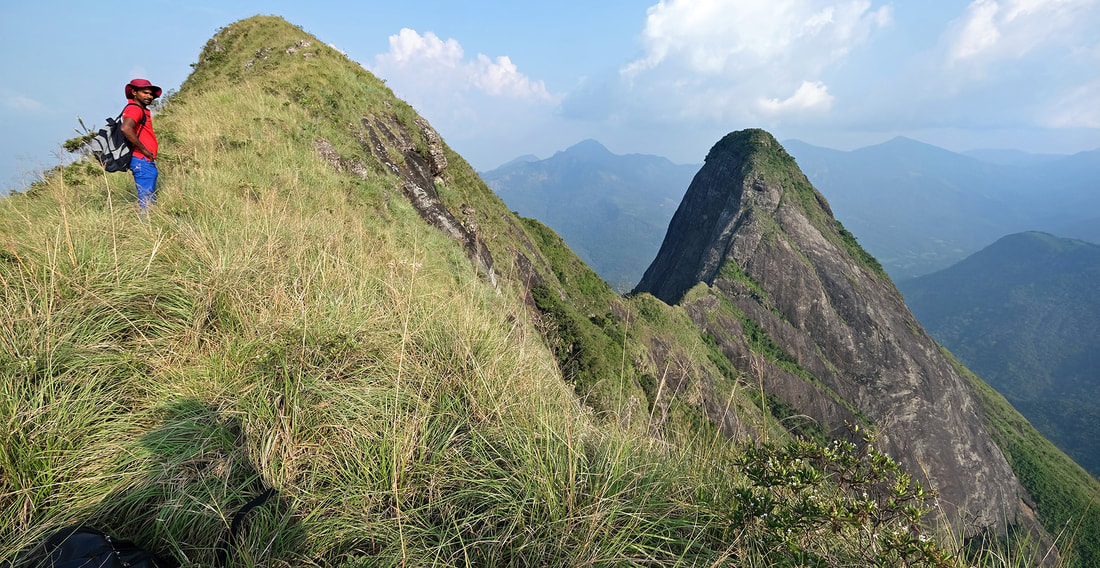
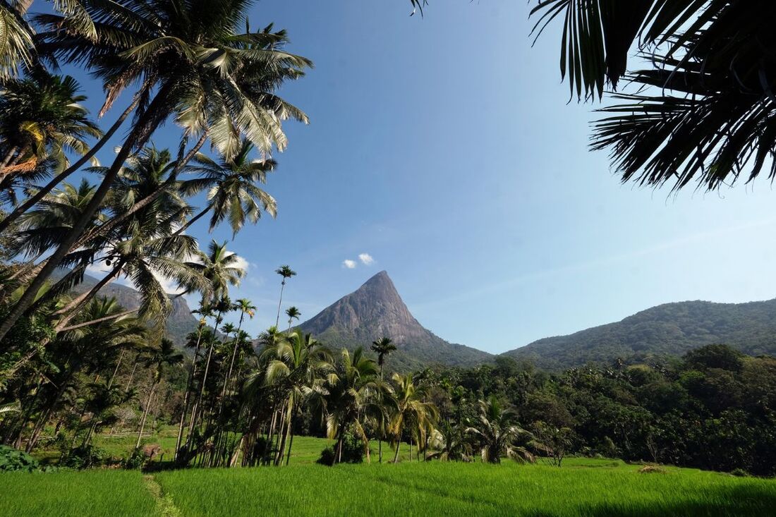
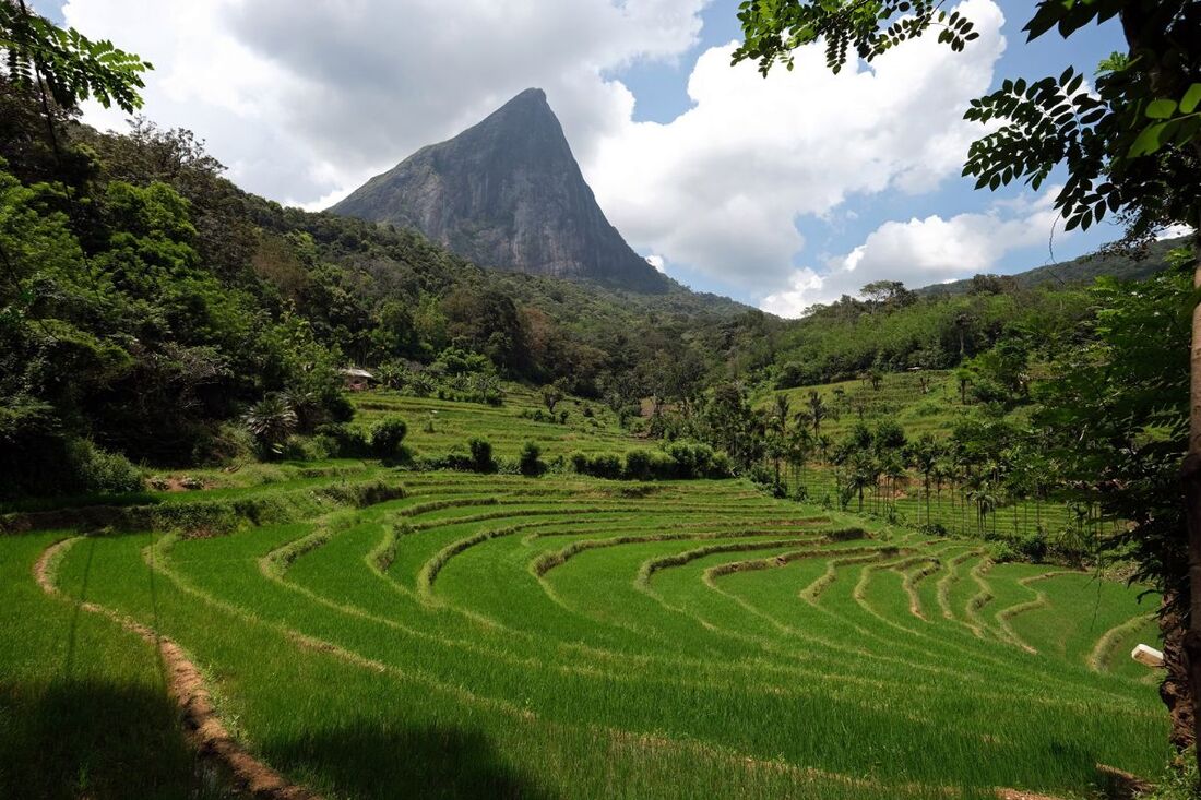
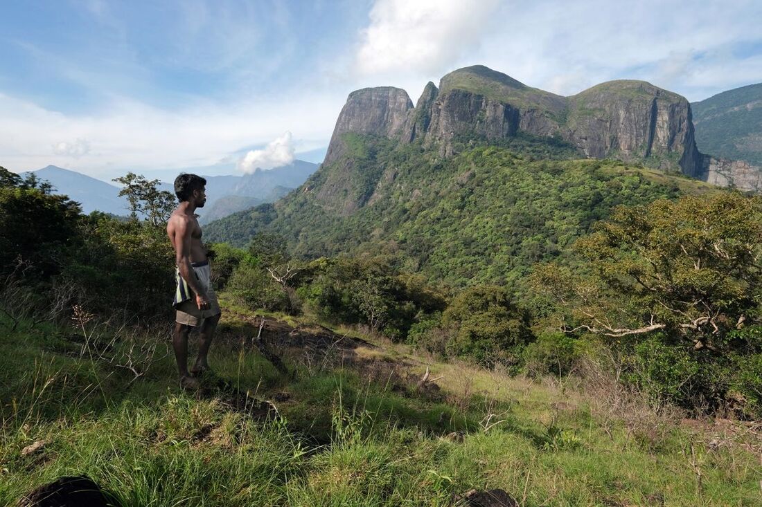
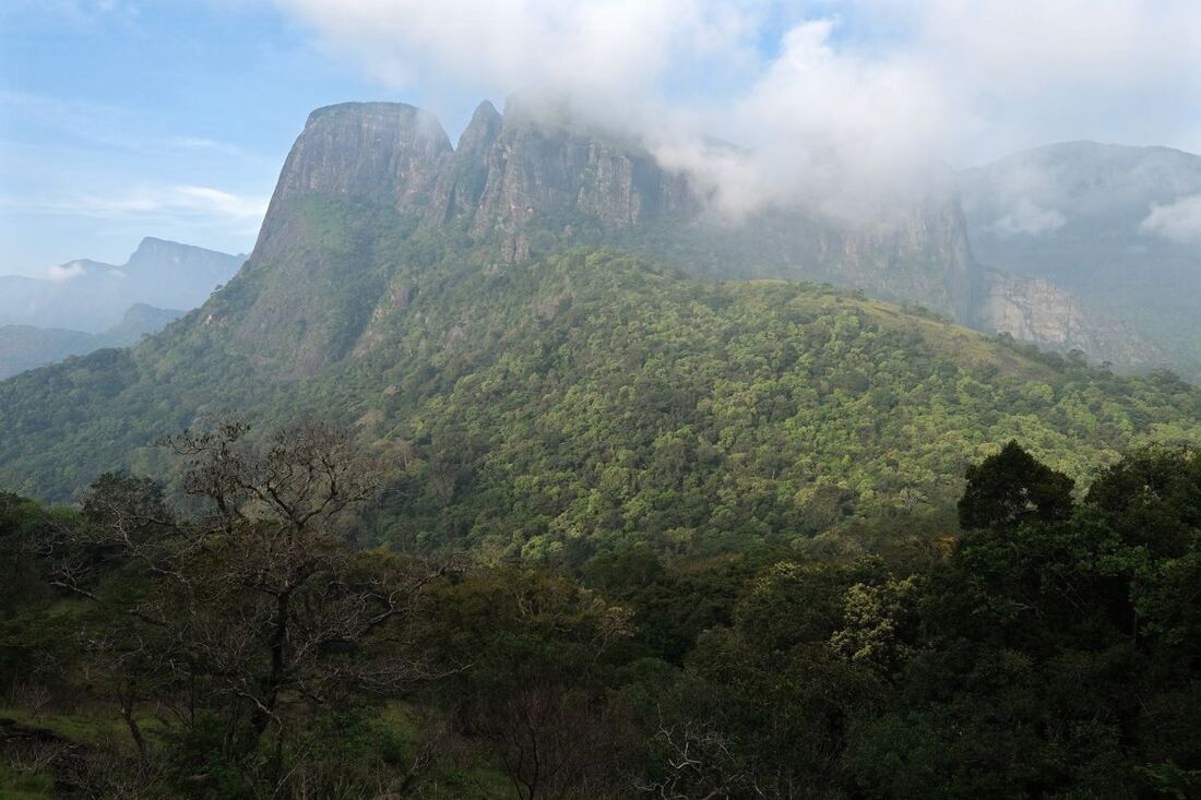
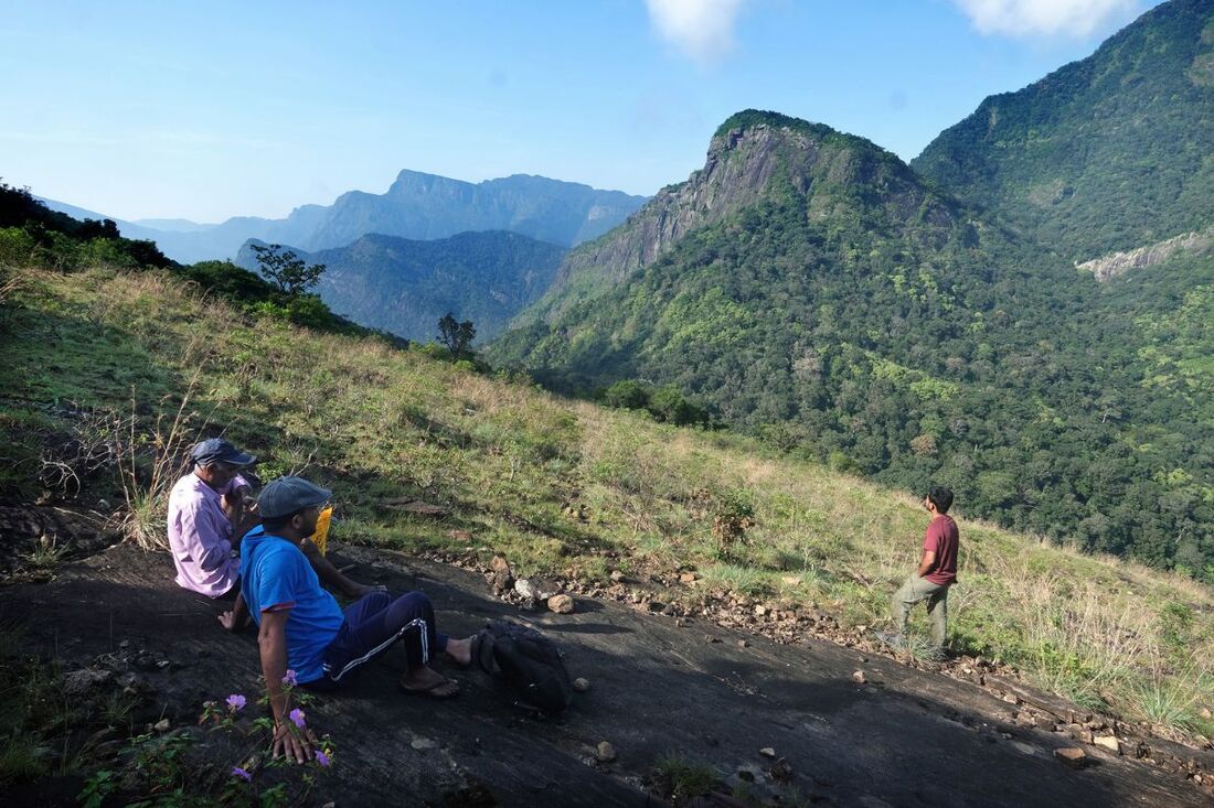
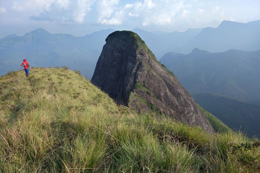
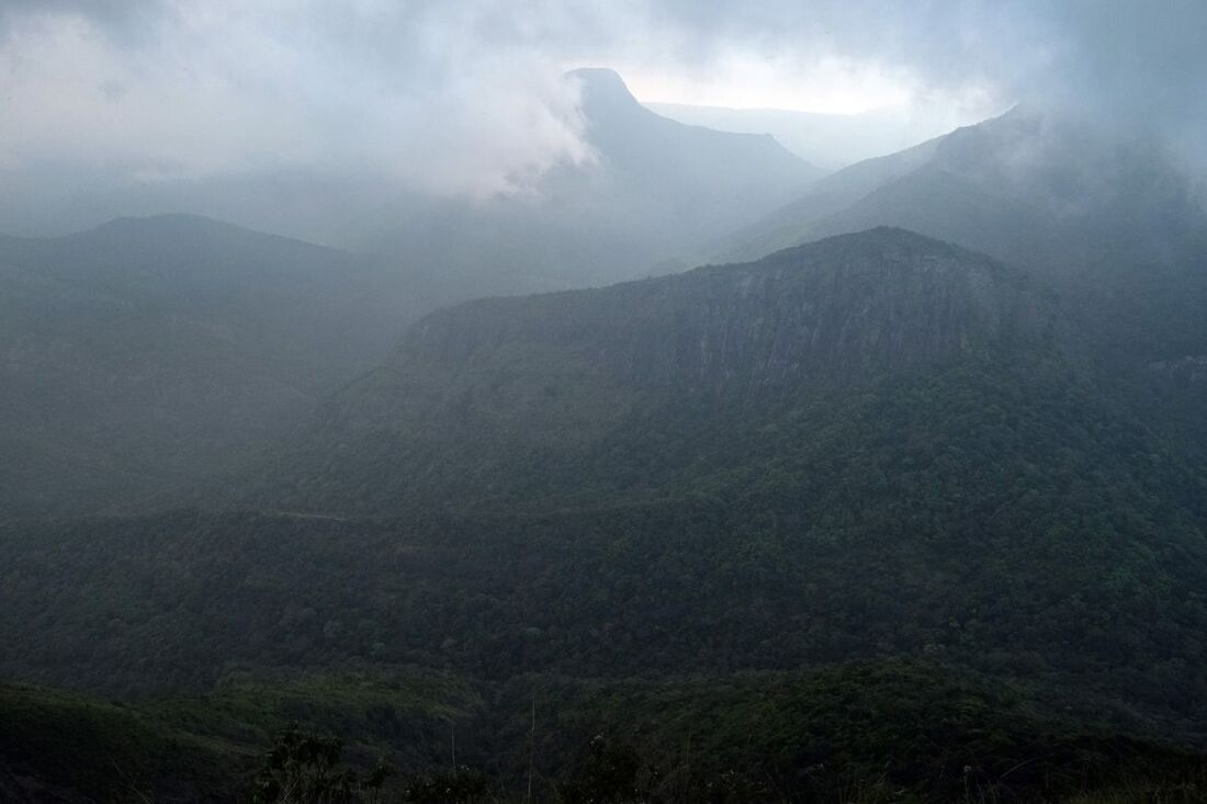
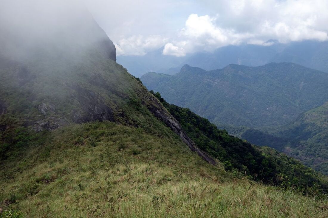
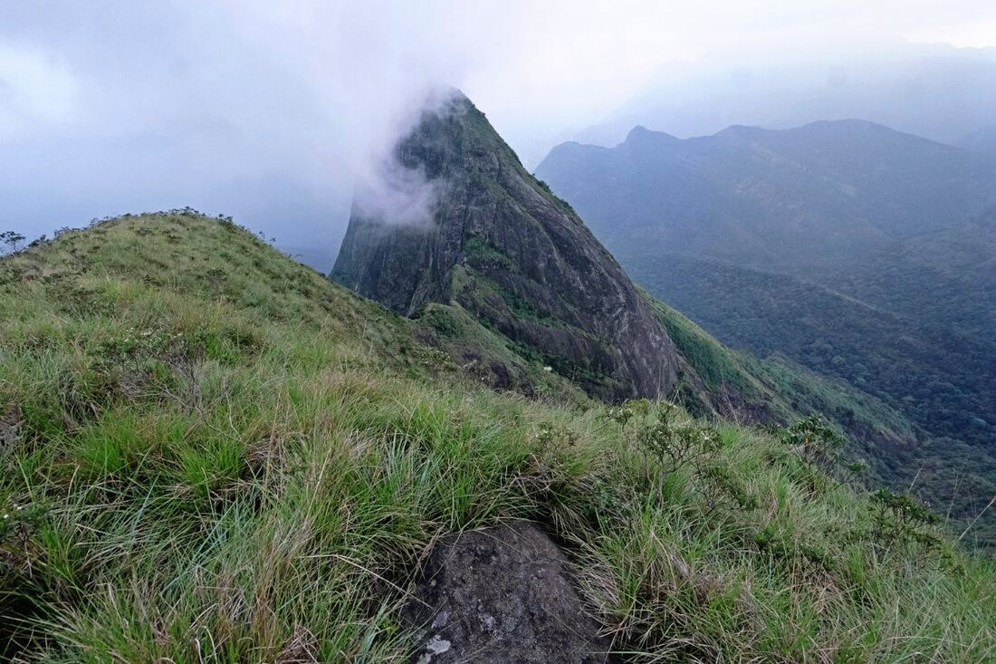
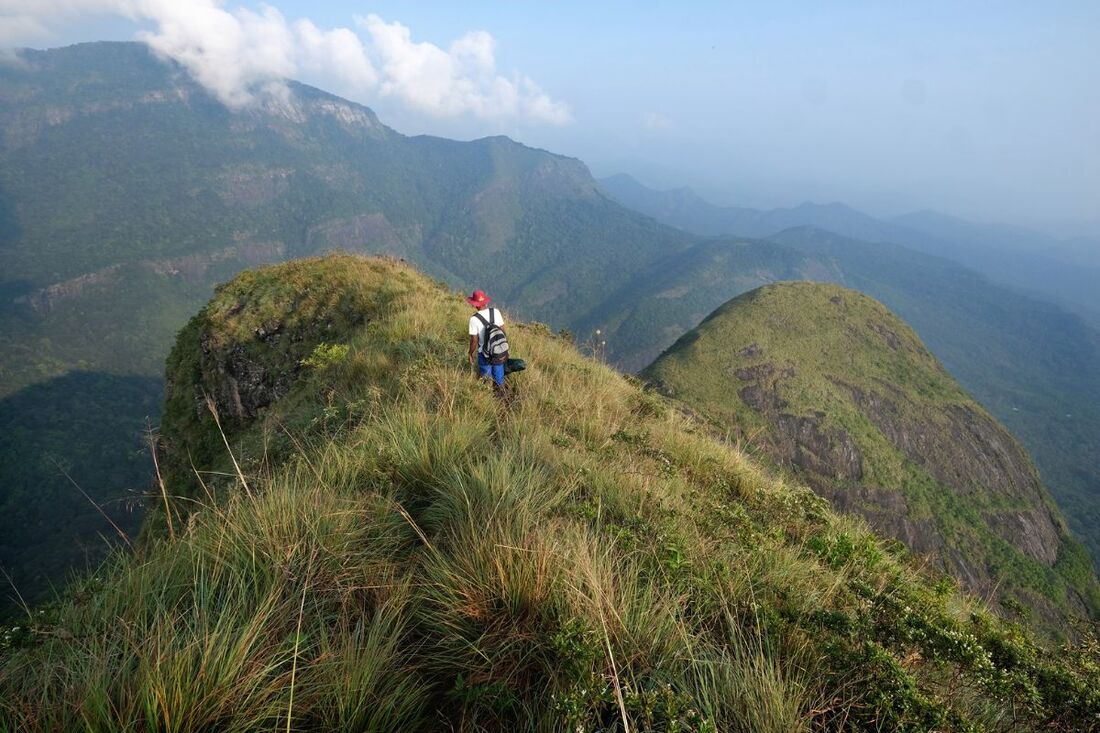
"Lakegala" means "Lanka Rock". "Lak" is sometimes still used for "Lanka". Indisputably, Lakegala is one of the largest and most prominent solid rocks on the entire island, though the summit is actually only half as high as Siri Pada, for comparison. The triangular mountain of Lakegala is said to be the island's only peak that can be spotted from the (north)western and eastern coast alike, clear weather conditions provided. That's why the legendary demon king of Lanka, Ravana, chose is said to have chosen Lakegala as a watchtower, from where the monkey army of Rama was first sighted when they arrived on the island. Also the end of the Battle of Lanka is believed to taken place at Lakegala. Hindu devotees believe that King Ravana stood on this very mountain, when the magic arrow shot by Lord Rama struck him and wounded him fatally. Another legend has it that Lord Buddha visited this mountain on his third visit in Sri Lanka, after leaving his footprint on Siri Pada. However, a second Buddha-visited mountain is not mentioned in the chronicle and the classic Solosmasthana list of 16 Buddha-visited places, which became well-known in the Kandy period, does not make mention of Lakegala, either.
The iconic mountain of Lakegala is the landmark of the village of Meemure in Knuckles Range. Seen from Meemure, Lakegala forms an almost perfect regular triangle, with almost vertical cliffs facing the village. Lakegala, however, surprises with completely different sights when seen from different angles. From the best eatern viewpoint, Mathalagala, you can see that the steep rock surmounting Meemure is only the southernmost peak in a row of three summits, the other two being hidden behind the triangle front when seen from Meemure. Lakegala in a narrow sense is only the said steepest of the three peaks. However, the name Lakegala is commonly used as a name of the entire group of three peaks. In this case, the southernmost "traingle" mountain is called "Meemure Lakegala", whereas the northernmost is called "Narangamuwa Lakegala", as its vertical cliffs face the village of Narangamuwa to the north. Usually, also the central peak, which is the highest summit, is included in the designation as "Narangamuwa Lakegala", because both peaks, the central and the northern one, are connected smoothly enough that you can walk from the central one to the northern one without any climbing for which you would need the help of your hands. In contrast, the southernmost peak, Meemure Lakegala, is separated from the other two summits by a deep ad steep chasm, which only experienced mountaineers could overcome.
But there is an alternative way of naming this immensely impressive group of cliffs with three summits. Altogether, they are simply called "Gal Thuna" in Sinhala, which means nothing else than "three rocks". Using this terminology, only the southernmost peak, which is closest to Meemure, is called Lakegala. As said, this only this triangular mountain is Lakegala in a narrow sense. The summit is at an altitude of 1080 m (3542 feet) above see level and about 700 m (2300 feeet) higher than Meemure. The name of the central and, with 1273 m (4177 feet) above sea level, highest peak of Gal Thuna is Meeriyagolla, whereas the northern peak facing Narangamuwa is known as Komalewa. By the way, Gal Thuna alias Lakegala forms the border of two districts: Meemure is a village in Kandy District, whereas the village of Narangamuwa belongs to Matale District.
For those who want to climb Lakegala, there are two completely different options, depending on the peak one wants to reach, the northern one, which is the triangle-shaped Lakegala of Meemure, or the highest point, which is the central peak, Meeriyagolla, sometimes also called Narangamuwa Lakegala?
Those who want to climb the emblamatic triangle-shaped peak have to start the climb in Meemure. From there they first walk uphill to the bottom of the cliff, more pricesely, to the western bottom of the rock. From the western side the rock has the lowest inclination, actually not more than 45 degrees (corresponds 1:1 or 100%), though it looks almost vertical when seen from below. In a long crevice, leading almost from the bottom of the rock to the very top, the ascend is possible along a rope. Be aware, that even with the help of the rope, this climb is one of the most demanding ones in Sri Lanka. It should not be done by any hikers who are not in very good shape and 100% free from giddiness and who have at least basic mountaineering skills. This Meemure Lakegala climb should only be done with an experienced local mountain guide. This climb should not be done after heavy rainfall or during the rainy season, as the rock might be too slippy then. Also windy weather conditions should be avoided.
The easier climb, though not a comfortable walk along a hiking path, either, is to the central peak, Meeriyagolla, which has the best view to Meemure Lakegala from close by. This climb starts in Narangamuwa. The starting point can also be reached from Meemure, but this requires an additional 6 km walk, mostly uphill, from Meemure to the area of Narangamuwa, so altogether 12 km for walking up and down. The first part of the route from Narangamuwa to Meeriyagolla is a trail in a river valley. From the last point with drinkable water, there runs a small path uphill through the thicket. It then reaches some open grassplains or clearings at the western slope of Narangamuwa Lakegala. The trickiest part is overcomming the bare rock. It's mananagable without mountaneering skills. But it's too steep to do this without the help of your hands. After this steepest part, which is along a crevice, the hiking path is easily recongizable again and soon reaches the pass between the two northern summits. So, from there you can turn left to Komalewa or right to the very summit of Meeriyagolla. The climb from Narangamuwa to the very top could be done within three hours by very fast and sportive walkers. However, normal hikers walking in a more comfortable pace and taking some breaks should calculate 4 to 5 hours to reach the summit.
The months of August & September are the most recommendable for hiking Lakegala, because during this local dry season the rock surfaces are dry and not slippery and the views are perfect due to the clear air. However, Lakegala is also famous for high fog and fast cloud formations. For experiencing the mystic atmosphere of ever-changing views in the clouds, the months around February are best. Good viewing conditions provided, you can spot most of the Knuckles Peaks from both peaks. Partly hidden behind the much higher Kehelpathdoruwa peak is Yahangala, the mythic mountain marking the northeastern corner of Sri Lanka's central highlands. In the sothern direction is Dumbanagala near Corbett's Gap. To the southwest are Alugal Kanda and the Five Knuckles Peaks. Last not least, the tent-shaped Tunhisgala is predominant in the eastern direction. By the way, Tunhisgala might be the only serious rival for Lakegala in the competition: Which is the best vantage point in Knuckles Range?
Note: Several webpages claim that the climb from Narangamuwa requires mountaneering to overcome a 70 degree inclination. Be assured, such information is not correct. Doing the excursion from Narangamuwa yourself and reading such articles afterwards, you will agree that it's most likely that those authors have never visited the place and misinterpreted information they found in other sources.