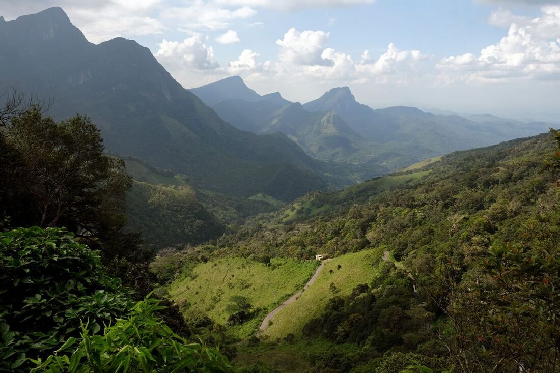
Corbett's Gap in Knuckle's Range deserves to be called Sri Lanka's most scenic mountain pass. The elevation of the pass is 1218m (4000 feet). It's crossed by the Hunnasgiriya-Meemure road, which in turn can claim to be the island's most scenic mountain road, at least among the sealed roads. Corbett's Gap is notorious for gusty winds and for uncertain weather, that can change within a few minutes from sunshine to fog and rain.
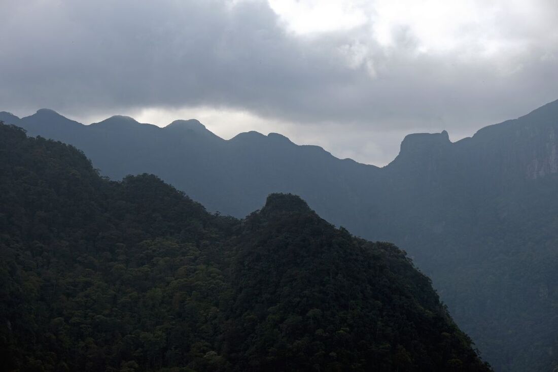
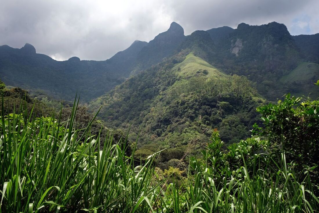
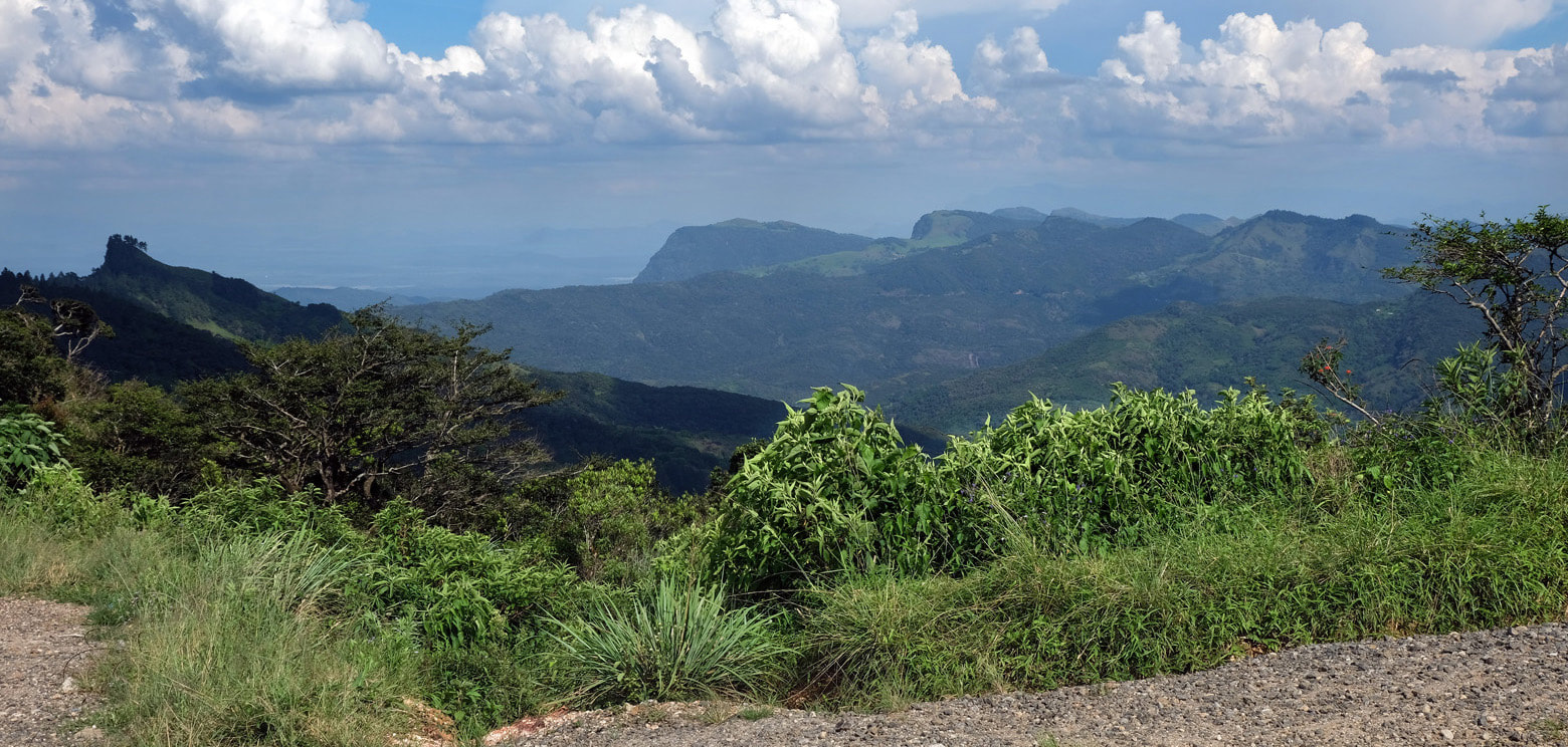
Corbett's Gap has magnificent panoramic views into two directions. To the north is the valley of Meemure, with the mountain of Lakegala in the background, whereas Alugal Kanda is the most prominent peak to the left. Further left, the namegiving "Five Knuckles" of the Knuckles mountain can also be seen. They are in 5 km (3 miles) distance, as the crow flies. Closer-by is the so-called Sphinx Rock, which can be better seen to the left when driving further downhill into the valley of Meemure. The mountain framing the Meemure Valley to the right is Dumbanagala, at the foot of which are the Nitro Caves. The Dumbanagala Peak hike starts near Corbett's Gap. In the other direction, to the southwest, the views go to the valley of the river known as Hasalaka Oya, with the Gurulupotha mountain in the background. Directly at the mountain saddle of Corbett's Gap a dirt road branches off the the western direction, a shortcut to Rangala at the opposite western side of the main range of Knuckles. The 13 km (8 miles) long gravel road to Elagolla near Rangala is passable for motorbikes and tuctucs and jeeps.
Unlike the famous Corbett National Park in Uttharakhand in northern India, the pass in Sri Lanka's central highlands is not named after the famous big game hunter Jim Corbett. Rather, the British colonial administration named the mountain pass in Knuckles Range after the land surveyor who first charted this remote region of the island. The original name of the mountain saddle, however, is Attalamettuwa (අට්ටල මෙට්ටුව). "Attala" and "Mettuwa" are not common Sinhalese terms. Rather, the toponym seems to derive from Pali, the ancient language of Theravada Buddhism. In Pali, "attala" means "tower" or "high point", from this is derived "attalaya" or "attalaka" for "room on the top" or "dwelling on the summit". Like in the case of Knuckles Range (the Sinhalese name of which is Dumbara Kanduvetiya), the English term "Corbett's Gap" is well-known and widely used among the native Sri Lankan population, too.
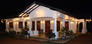
The immediate surroundings of Corbett's Gap and the nearby village of Loolwatta offer accommodation of higher value than is available in Meemure. Shady Hills Hunnasgiriya is closer to Loolwatta, whereas Dumbanagala Chalet is further uphill directly at the road near Corbett's Gap.
The driving distance from Kandy to Corbett's Gap is 60 km (37 miles). The final part along the mountain road from Hunnasgiriya (at the Kandy-Mahiyangana Road) via Deanston is 17 km (10.5 miles) long, whereas Meemure is in 12 km (7.5 miles) further away in the other direction.
