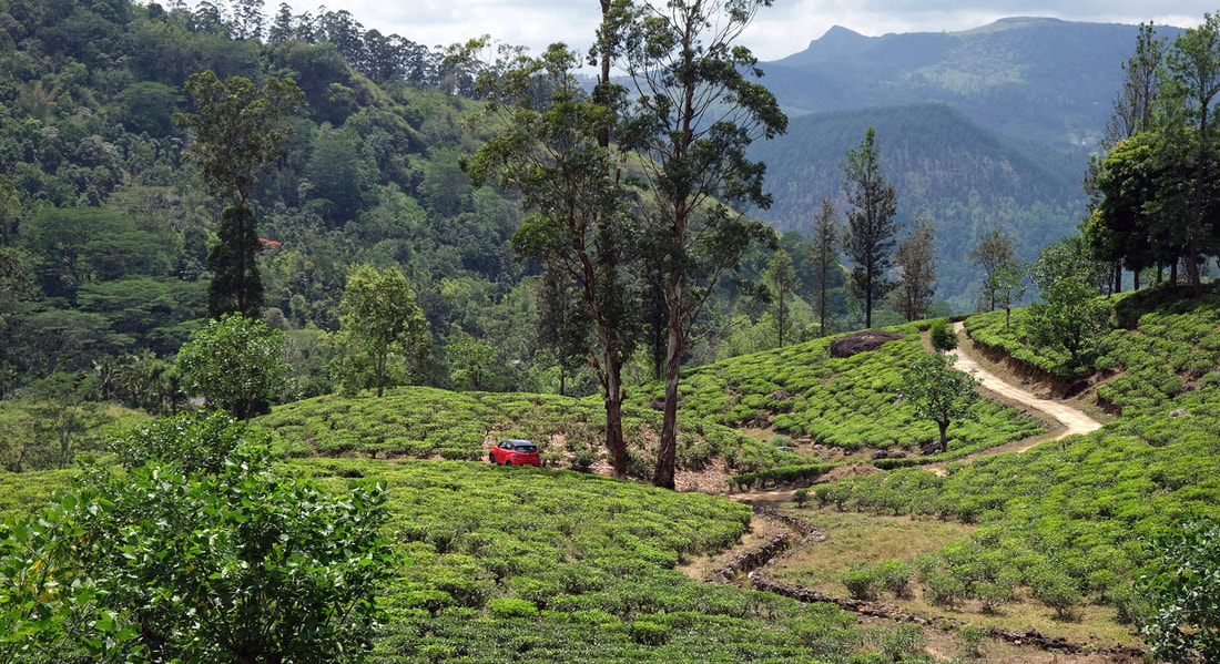
The village of Gomara in Sri Lanka's Kandy District is situated in a lush green valley at the upper reaches of the Huluganga, which is the most significant river of Knuckles Range. More precisely, the location is in the valley the eastern headstream of Huluganga, whereas the the longer western headstream runs along the villages of Kalabokka and Madulkelle. Gomara is the far point of the roads leading from Kandy town to the northeast directly to Knuckles Range. Located at the western foot of the main range, Gomara is the most important starting point for Knuckles hiking and trekking close to Kandy, whereas Meemure and Riverston, the most popular starting points, are to the east resp. north of the main range, much farther away from Kandy. Despite its location at a dead end of Sri Lanka's road network, Gomara can be reached via two different routes, both of which are very scenic but also quite bumpy. The direct route from Kandy, which is 40 km (25 miles) long, is via Panwila village and Hatale Estate and runs along the western slope of Campbell's Lane Forest Reserve at the western side of the Huluganga river. Another road to Gomera runs from Teldeniya at Victoria Reservoir via Rangala in the south. This second route has to overcome a higher pass.
The toponym "Gomara" is pronounced like "GOmere", stressed on the first syllable, with short "e" in the second and third syllable. Another English transliteration of the Sinhalese name is "Gomaraya".
The toponym "Gomara" is pronounced like "GOmere", stressed on the first syllable, with short "e" in the second and third syllable. Another English transliteration of the Sinhalese name is "Gomaraya".
Knuckles Range hikes and treks from Gomara
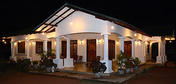
As one of the three major bases of Knuckles Range hikes and treks, Gomara has camping opportunities and numerous homestays and guesthouses or small chalets. All of them are budget accommodation. Higher-value accommodation is available only in some distance from Gomara, closer to Madukele to the west or Rangala to the south.
Concerning the climbs to the major peaks of the main range of Knuckles (NOT including the spectacularly rocky peaks of Lakegala and Kehelpathdoruwa, which are to the north and east of Meemure), Gomara can claim to be the best starting point. In particular, it's the village in closest proximity to the namegiving "Five Knuckles Peaks", which are to the east of the village. The Five Knuckles Trek starts at Dewatagala 7 km (4 miles) east of the center of Gomara (which we considered to be the Gomara Bridge alias Hagala Bridge crossing the Huluganga). The trail start is close to the Knuckles Falls. The walking distance from there to the first of the five peaks is 4 km (2.5 miles). The trek can be continued to Thangappuwa near Heel Oya at the opposite side of the main range. Actually, most trekkers start from Thangappuwa and end the classic Knuckles trek in Gomara, where more accommodation is available.
The highest peak of the entire Knuckles Range area, however, is Gombaniya mountain, with an altitude of more than 1900 m (almost 6250 feet) above sea level. Gombaniya is to the north of Gomara. The trail start is closer to Huluganga village than to Gomara. The trail start of the Gombaniya Hike is at Rathnathenna division, in 10 km (6 miles) distance from the center of Gomara. The first part of this one- or multiday trek runs through the tea estate. The Gombaniya trek can be continued in the northern direction to reach the Riverston area, however, this is very adventorous, because pathes are missing in some parts.
Another one of the highest peaks in Knuckles Range is Tunhisgala, it's the more isolated peak that can be recognized from far distances by it's triangular "Matterhorn-like" silhouette. Tunhisgala is in the Kalupahana area. Be aware, that several peaks in Knuckles Range are known under different Sinhala names. The Tunhisgala trail is very difficult and goes along escarpments before reaching the top. It's dangerous and should never be done without a guide, because it's not easy to find the way. The trail head of the Tunhisgala trek is at Rathnagiriya Estate, which is just north of Gomara's Lebanon Estate. The walking distance from the Lebanon Estate junction to trail head is only 2.5 km (1.6 miles). For hikers who do not want to do exhaustive tours to the very summits, a rewarding destination that is easily managable is Rathnagiriya view point.
Waterfalls around Gomara
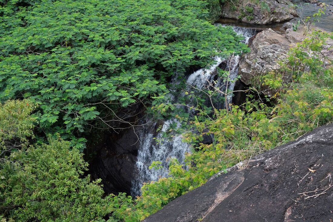
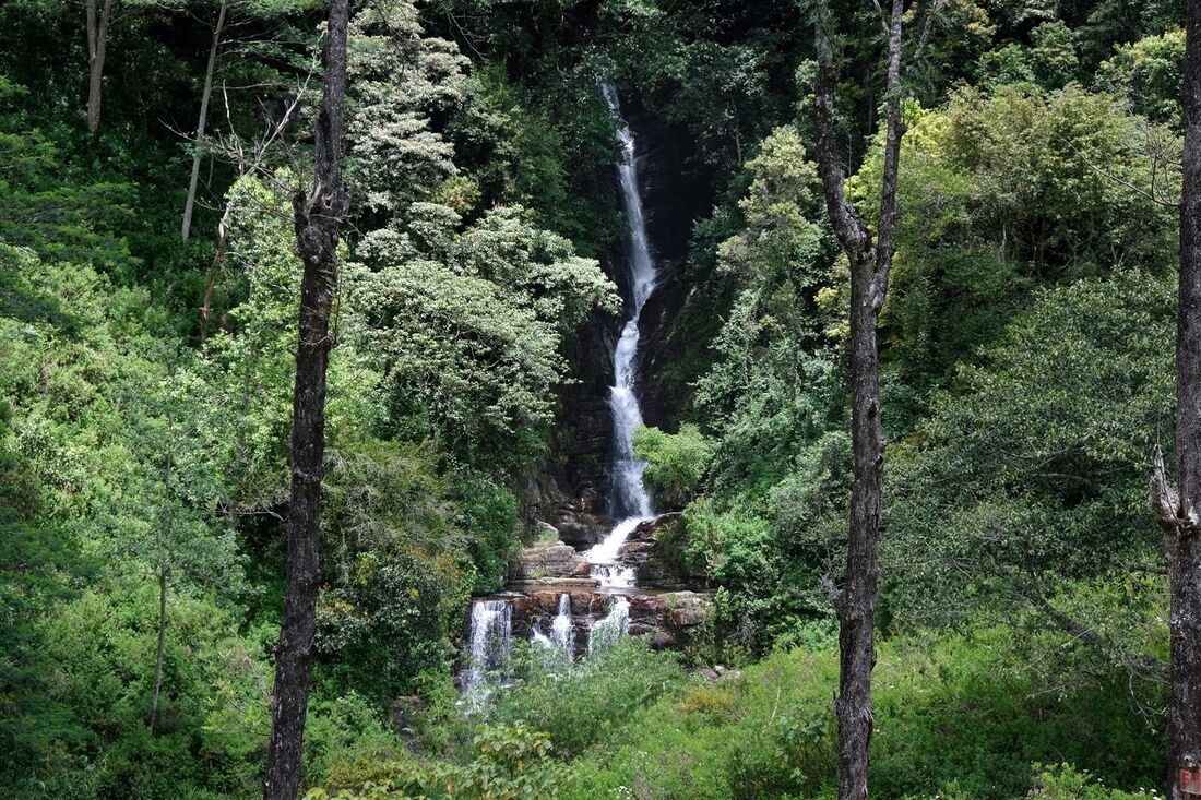
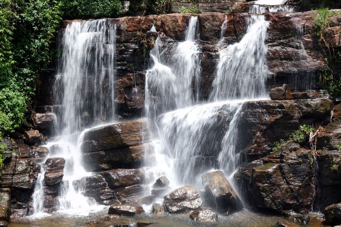
The valley of Gomera abounds with waterfalls. Two of them, formed by the Huluganga river, are called "Lebanon Fall 1" and "Lebanon Fall 2", because they belong to the are of the Lebanon Estate. The larger one is Fall 1, which is 1 km upstream from the factory, whereas Fall 2 in downstream, halfway to the Hagala Bridge. However, there are several more cascades in between them, for example a hidden fall, disappearing below a canopy of leaves (see image below).
|
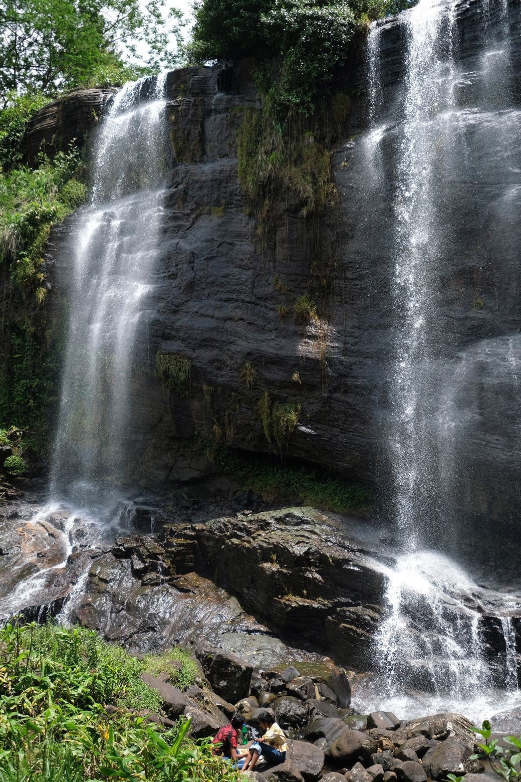
The most famous waterfalls of Gomara, close to the village center, are the Twin Falls, called Jodu Ella in Sinhala. A car park is close by, there is also a path from Gomara village. The same Huluganga tributary forms a small waterfall further upstream which is known as Mriya Ella, whereas the so-called Jodu Ella subwaterfall is formed by another stream, just like the easy to reach Saree Ella to the east of Gomara and the abovementioned Knuckles Falls at the trailhead. The waterfalls of Prasanna Ella are situated to the southeast of the center of Gomara, in the direction of Rangala Natural Pool. The large Huluganga Falls are 5 km (3 miles) to the west of Gomara.
|
