The hiking areas of Sri Lanka are mainly found in only two of the three climate and vegetation zones, namely in the highlands and in the rainforests of the southwestern wet zone and in the highlanf. Hiking is not safe in the lowlands of the dry zone, because the risk of encounters with wild elephants is high, but the isolated rocky hills in the dry zone are safe.
Hiking and Trekking in Sri Lanka's Central Highlands
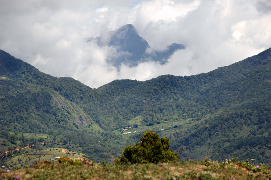
The main highland hiking areas on the island match the three forest reserves that together form the UNESCO World Heritage Site called Central Highlands of Sri Lanka, namely Knuckles Range in the northeast of the hillcountry, Horton Plains in the southern range, and Peak Wilderness in the southwest. The three areas differ much concerning the hiking experience.
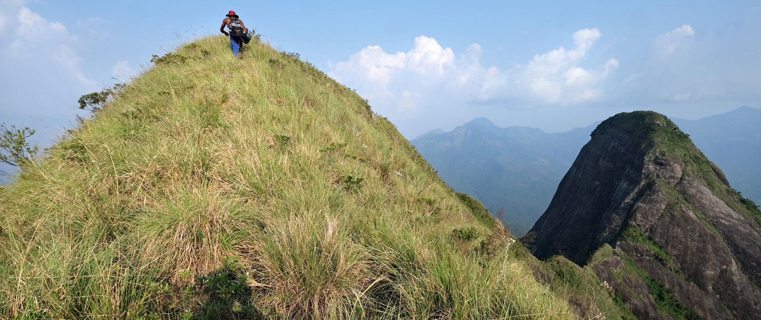
Knuckles Range is Sri Lanka's only trekking area for well-arranged multi-day camping excursions along trails that never leave the wilderness between start and end. One-day hikes in Knuckles Range are usually more strenuous or demanding than in other hiking areas. The continuously forested trekking region of Knuckles Range (without crossing roads and settlementds stretches roughly 25 km (16 miles) from Riverston in the northwest to Hunnasgiriya Pass near the Mahweli River in the southwest. The main starting points of trails are Gomara in in the Huluganga Valley to the west of the range and Meemure in the valley of the Heen Ganga in the east. The most stony peaks for rock climbing are Lakegala and Kehelpathdoruwa and Yahangala to the north and northeast of Meemure. The main range, however, is mostly forested, trekking does not require climbing rocks. The namegiving "Five Kuckles" are in the very center of the range, just east of Gomara and northeast of Rangala. Crossing all five brows, which are close together, in a row of about 1.6 km (1 mile) length, is one of the most popular treks. However, the pyramidical Tunhisgala further north is a better viewpoint, and the highest peak of Knuckles Range is Gombaniya just to the north of Gomara. A more relaxed hike is the Heel Oya Trail in the foothills just south of Five Knuckles Peaks.
The most famous hike in the Peak Wilderness Area is climbing the flights of 4000 steps to Adam's Peak, locally better known as Siri Pada. Apart from Adam's Peak, which can be crowded, the forested hills of Peak Wilderness are the most lonesome hiking region of Sri Lanka.
The standard hike on Horton Plains, including Baker's Falls and the viewpoints of World's End, takes around 4 hours, with breaks at the places of interest. Less frequented hiking trails are available, too. But the popular standard loop trail should not be missed by first-time visitors. Belihuloya in the sozhern foothills, geographically not far from Horton Plains, is well known for hiking options, too.
For short hikes, Ella and surroundings offer the best options. For holiday makers in Kandy, hiking on Hanthana Range is the best option in only a few kilometers distance from the city center. Halfway between Kandy and Nuwara Eliya, the Chariot Path hike is highly recommendable, but rarely visited by foreigners.
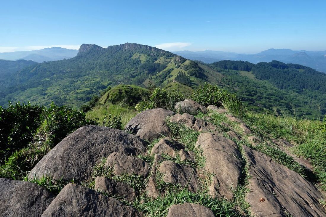
There are several hiking areas that are much less known to western guidebook authors, but nonetheless highly rewarding. To name a few: Dolosbage Range in the west of the hillcountry, Alagala Peak in the northwest, or Great Western to the west of Nuwara Eliya.
In Nuwara Eliya, the short easy climb to the top of Single Tree Mountain is an option. However, the summit of Pidurutalagala, Sri Lanka's highest mountain, is a prohibited zone.
Hiking in Sri Lanka's tropical Rainforests
The largest tropical rain forest of Sri Lanka is Sinharaja, which is also the largest chain of hills outside the central highlands. Sinharaja rain forest has numerous trails for half-day and full-day hikes.
Smaller rain forests such as Kanneliya and Yagirala offer short hiking options including waterfalls or viewpoints, too.
Smaller rain forests such as Kanneliya and Yagirala offer short hiking options including waterfalls or viewpoints, too.
Hiking in Sri Lanka's dry zone
Due to the abundance in wild elephants, the plains in the northern half and in the east and southeast of the island are not safe for hikers. However, there are several isolated hills and elephants don't climb. The best hiking options in the dry zone outside the hillcountry are situated in the vicinity of the remote Maduru Oya National park, Dimbulagala to the north, Danigala "ufo rock" to the west, and Toppigala to the northeast. In the intermediate zone, the most recommendable hike is to the summit plateau of Dolukanda, which is not far from touristic main routes.
for opening a destination page in a new tab, please click the image
for going to the destination page in the same tab, please click the name in the text line below the image
for going to the destination page in the same tab, please click the name in the text line below the image
