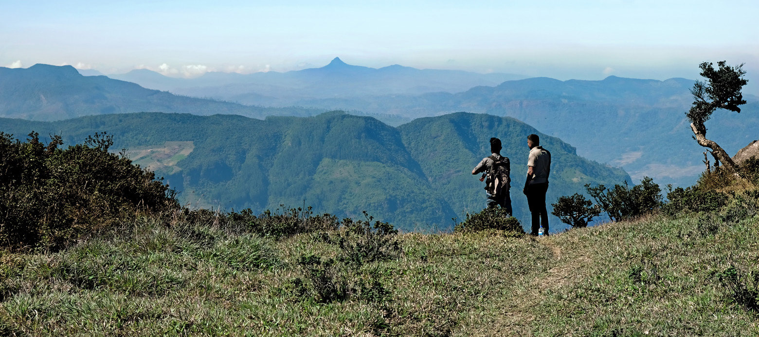
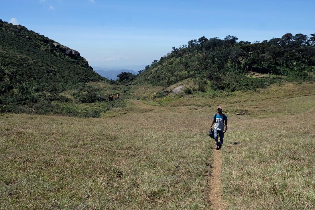
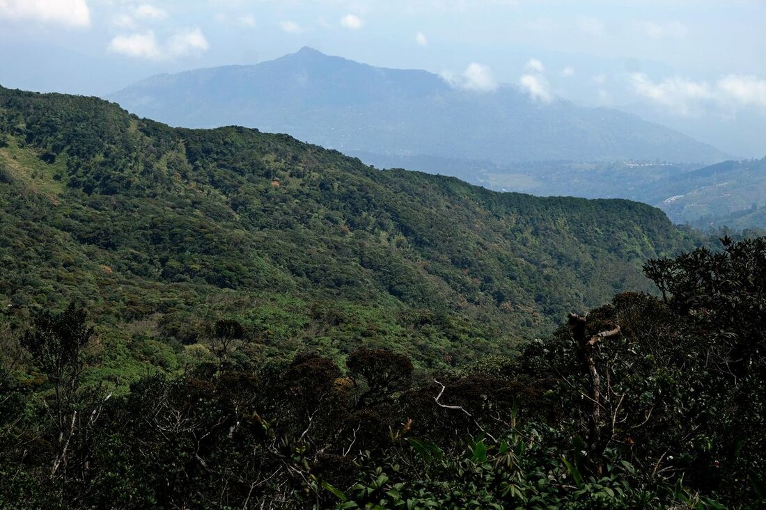
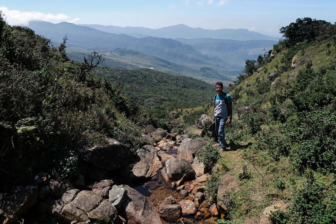
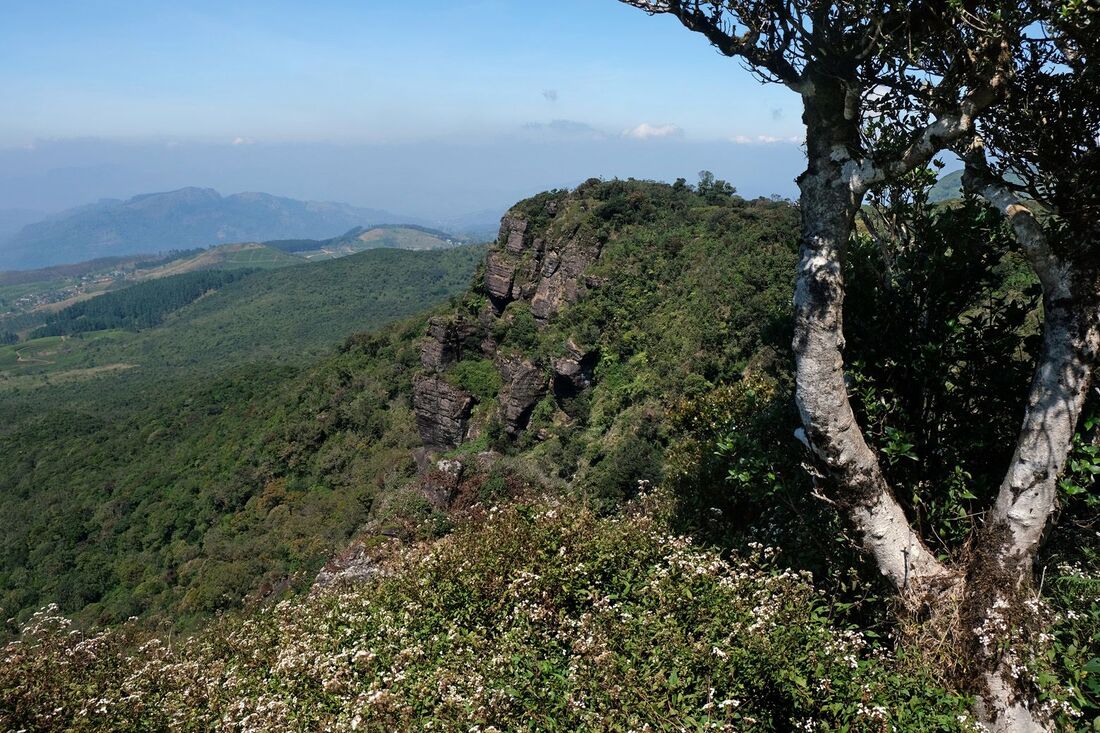
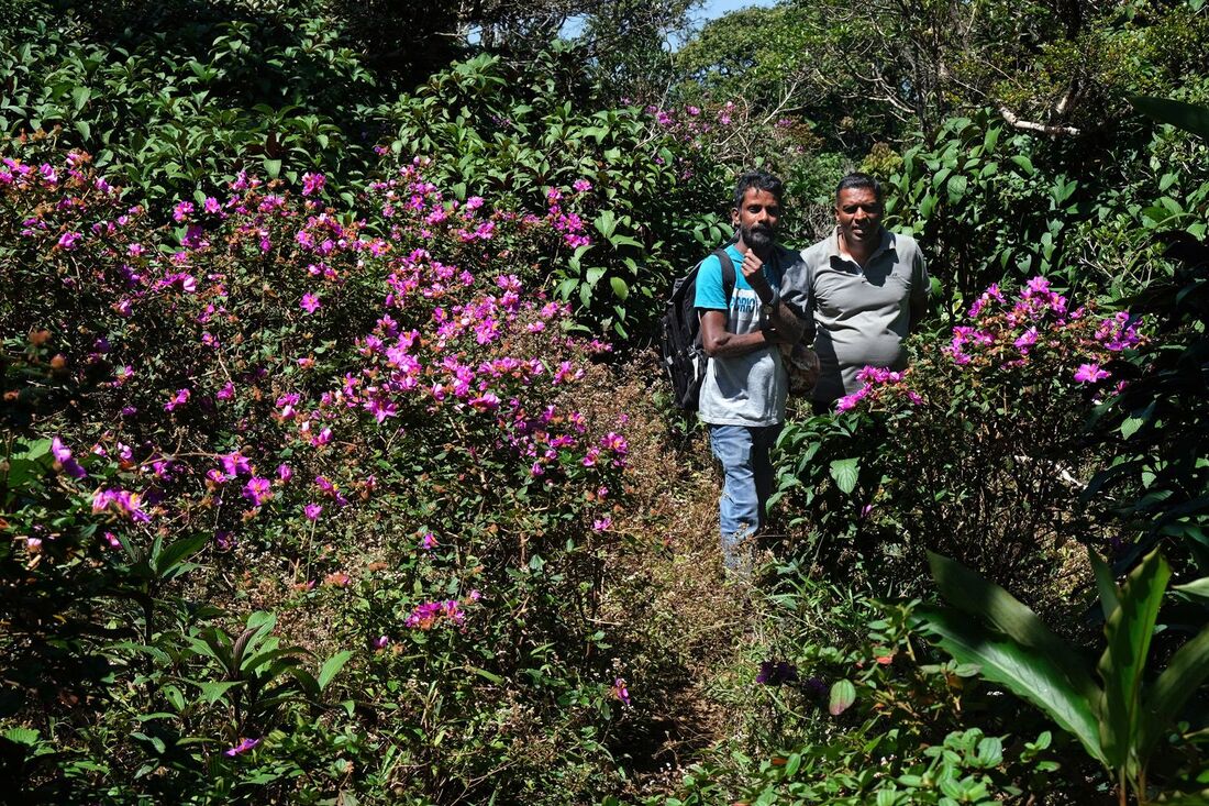
What is called Chariot Path is actually not a path but a natural glade on Sri Lanka's central mountain range With several breathtaking viewpoints, it's a highly recommendable hiking destination, to which an well-trod footpath leads uphill through the dense mountainous forest. But once again: Chariot Path is not the name of this hiking path. Rather, it's the name of the destination of the hike. The mountain grassland on the top consists mainly of Arundinella villosa and Chrysopogon zeylanicus (lemongrass), whereas the pygmy forest is dominated by Nelu trees (Strobilanthes viscosa). Rhododendron also occurs.
Why visit Chariot Path
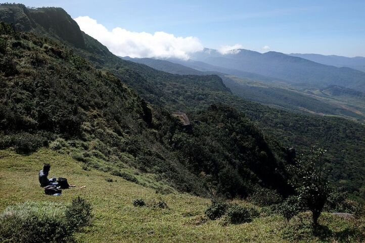
Chariot Path is a beloved camping site of Sri Lankans, particularly popular with young people. But only few foreign travelers visit this wonderful area. That's okay for us, because this means it's still possible that our guests can enjoy one of Sri Lanka's most attractive destinations completely undisturbed by the crowds.
To give you an idea what most tourists miss, let's explain the appeal of Chariot Path by a comparison. Though smaller in size, Chariot Path is strikingly similar to the famous and much beloved Horton Plains. In both cases, hikers enjoy a rough landscape of natural grassland clearings, called Pathanas in Sinhala, amidst an unspoiled pygmy forest typical of Sri Lanka's central highlands. Both places, Horton Plains and Chariot Path, are wonderful hiking destinations for walking around 4 hours. Both destinations offer stunning panoramic views. Both places can be quite cold in the morning. And both are often in the clouds. Both destinations can only be reached via extraordinarily scenic roads. From a touristical perspective, the main differences between Horton Plains and Chariot Path are as follows: To walk to Chariot Path, you have to take an uphill trail and to return on the same jungle path back downhill, whereas the standard hike on Horton Plains takes is a circuit trail on a plateau. There are no waterfalls comparable to Baker's Falls on Chariot Path. The clearings and the ponds on the plains of Chariot Path are much smaller in size, when compared to those of Horton Plains. Chances to observe wild animals are lower than on Horton Plains. However, in some other respects Chariot Path can be claimed to be more attractive than Horton Plains. As said, it's much less crowded, and the visitors you will meet on Chariot Path are mostly locals, which is a much more genuine travel experience than meeting people at tourist hubs. Moreover - though you might not believe that as long as you have not seen it -, the vantage points of Chariot Path are even more amazing than the famous "World's Ends" of Horton Plains. You have views to different directions from Chariot Path within short distance from one another, because the outlooks are situated not at the edge of a plateau like in the case of Horton Plains, but on the ridge of a range. Furthermore, there are much more bushes with colourful Heen Bovetiya flowers on Chariot Path than on Horton Plains. A small extra plus is: For visiting Chariot Path, you do not need to purchase an expensive national park ticket. Moreover, you can stay on Chariot Path over night in a tent, which is not allowed at the circuit trail in the national park of Horton Plains. A camping opportunity is no minor plus, as sunsets and particularly early mornings are clear highlights at the respective vantage points.
To give you an idea what most tourists miss, let's explain the appeal of Chariot Path by a comparison. Though smaller in size, Chariot Path is strikingly similar to the famous and much beloved Horton Plains. In both cases, hikers enjoy a rough landscape of natural grassland clearings, called Pathanas in Sinhala, amidst an unspoiled pygmy forest typical of Sri Lanka's central highlands. Both places, Horton Plains and Chariot Path, are wonderful hiking destinations for walking around 4 hours. Both destinations offer stunning panoramic views. Both places can be quite cold in the morning. And both are often in the clouds. Both destinations can only be reached via extraordinarily scenic roads. From a touristical perspective, the main differences between Horton Plains and Chariot Path are as follows: To walk to Chariot Path, you have to take an uphill trail and to return on the same jungle path back downhill, whereas the standard hike on Horton Plains takes is a circuit trail on a plateau. There are no waterfalls comparable to Baker's Falls on Chariot Path. The clearings and the ponds on the plains of Chariot Path are much smaller in size, when compared to those of Horton Plains. Chances to observe wild animals are lower than on Horton Plains. However, in some other respects Chariot Path can be claimed to be more attractive than Horton Plains. As said, it's much less crowded, and the visitors you will meet on Chariot Path are mostly locals, which is a much more genuine travel experience than meeting people at tourist hubs. Moreover - though you might not believe that as long as you have not seen it -, the vantage points of Chariot Path are even more amazing than the famous "World's Ends" of Horton Plains. You have views to different directions from Chariot Path within short distance from one another, because the outlooks are situated not at the edge of a plateau like in the case of Horton Plains, but on the ridge of a range. Furthermore, there are much more bushes with colourful Heen Bovetiya flowers on Chariot Path than on Horton Plains. A small extra plus is: For visiting Chariot Path, you do not need to purchase an expensive national park ticket. Moreover, you can stay on Chariot Path over night in a tent, which is not allowed at the circuit trail in the national park of Horton Plains. A camping opportunity is no minor plus, as sunsets and particularly early mornings are clear highlights at the respective vantage points.
All in all, we consider Chariot Path one of the most rewarding hiking destinations in Sri Lanka. And we guess most foreign travelers simply do not know what they are missing when never considering an excursion to this wonderful place.
Location
The main grassland clearings of Chariot Path are situated in an elevation of 1970 m (6460 feet) above sea level. Some consider Chariot Path to be the coldest place in Sri Lanka. Though Horton Plains and some parts of the valley of Nuwara Eliya are higher, Chariot Path is more open to the surroundings and therefore receives stronger winds. From the main grasslands and viewponts of Chariot Path atop the ridge, the distance to Pidurutalagala, Sri Lanka's highest peak, is 11 km (7 miles), as the crow flies.
|
The starting point of the jungle path to the mountain saddle on which Chariot Path is located in at an altitude of 1690 m. This means, hikers have to overcome a height difference of 280 m (920) feet, when walking uphill the 1.5 (1 mile) long footpath. The starting point of this narrow jungle trail is at the edge of the forest, where it meets the uppermost fields of Frotoft tea plantation. This starting point is 1.5 km away from the main car park in the tea plantation village, where the school called Frotoft Tamil Vidyalayam for the children of Tamil plantation workers is located. It's this car park, where the daily public buses arrive. The Frotoft Old Hospital is half a kilometer further uphill. In other words, the distance from the Old Hospital to the starting point of the jungle trail is 1 km and to the top of the range 2.5 km (1.6 miles). The distance from Frotoft Tea Factory to the Old Hospital is 2.5 km, too. Driving distance from Pussellawa to the Frotoft Old Hospital is 16 km (10 miles) along a very bumpy dirt road called Frotoft Road. The distance from Bluefield Tea Factory, Ramboda, to Frotoft Old Hospital is 9 km (6 miles) by road. Both dirt roads meet near the Frotoft View Point, which is not far from the Frotoft Tea Factory. Driving Distance from Nuwara Eliya to Frotoft Old Hospital is 28 km (18 miles), which due to the bad road conditions of the last kilometers can take one and a half hours.
|
Chariot Path is situated on the main range of Sri Lanka's Central Highlands, which stretches from Hanthana near Kandy to Pidurutalagala, Sri Lanka's highest Peak, near Nuwara Eliya
|
Best time to visit
Be aware, Chariot Path is foggy and wet and receives lots of rainfall during most of the year, particularly during the anti-monsoon season from October to January. The driest months - and therefore most recommendable for a visit - are drom February to April.
Wearing long trousers and sleeves is not only helpful to protect you from cold winds and intense sunlight, but also from scratches caused by the thrubs and spiky grass.
Wearing long trousers and sleeves is not only helpful to protect you from cold winds and intense sunlight, but also from scratches caused by the thrubs and spiky grass.
Legend and Name of Chariot Path
The grassland strips now called Chariot Path are believed to be left by the Pushpaka Vimana, the flying chariot of the demon Ravana, King of Lanka. It's this very place on the mountain range, where King Ravana brought the abducted Princess Sita, the consort of Rama, to impress her with the the beauty of his kingdom of Lanka. They came along this area, so the legend goes, when Ravana transferred Sita from his palace at Gurulupotha near Hasalaka to the Ashoka Vatika near Nuwara Eliya. Wherever the heavenly vehicle of the demon king touched the ground, no forest vegetation can grow ever since. And even the cart road is still left as a print, like painted on the grass.
Despite the beauty of the spot, Sita shed tears, missing her beloved husband, when coming along Chariot Path. And this also left its marks on the ground till the present day, namely the small ponds in the grasslands. The largest one is at the lower end of the stream draining the plain. Due to their mystic origin, the ponds never dry out and they are called Sita Tear Ponds.
Therefore, Chariot Path and Sita Tear Pond are Ramayana Sites and as a pilgrimage destination sometimes attracting Hindu devotees from India.
Sita Flowers
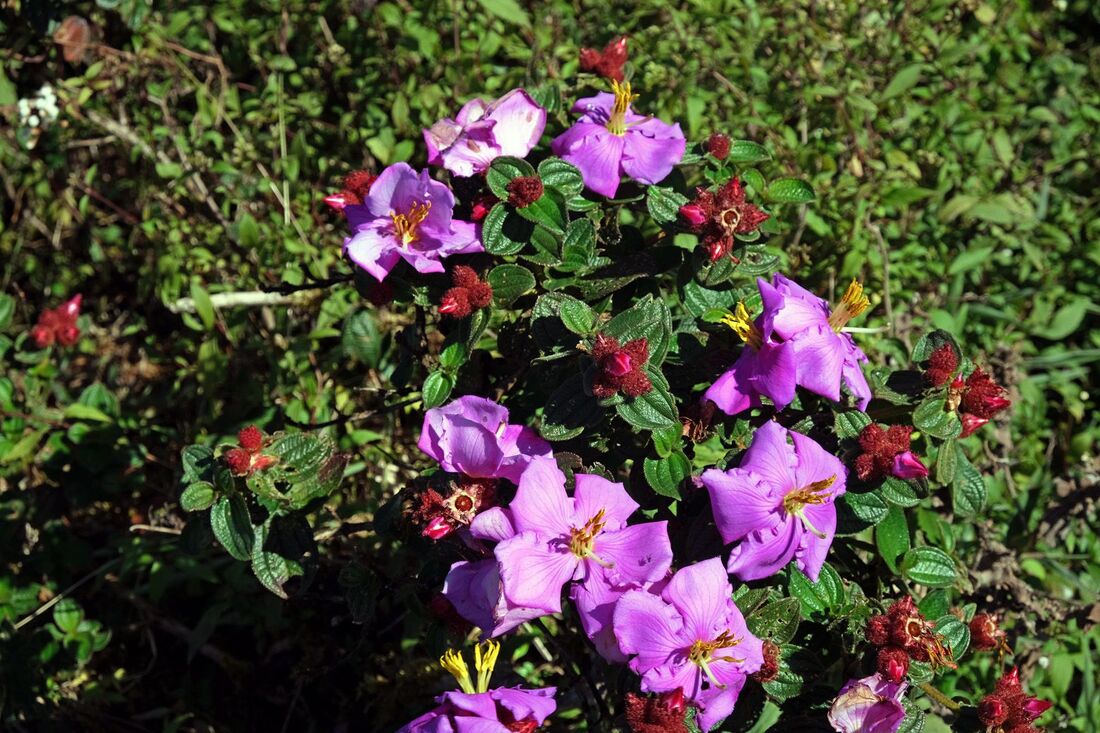
On the saddle of Chariot Path, there are numerous large trees with bright purple blooms, which much contribute to the beauty of the place. They are called Sita Flowers and are said to be unique to Chariot Path as a result of Sita's visit. In the yellow middle of the blossom, the stamen and pistil resemble a human figure carrying a bow. That's why they are believed to represent Sita's husband, Rama with his bow, with which he once won the contest for her.
However, these very beautiful flowers do not occur only to Chariot Path, they are common flowers in the central highlands of Sri Lanka, known in Sinhala as Heen Bovitiya. This plant is traditionally used in Ayurvedic medicine against liver diseasess and diabetes. Heen Bovitiya occur in abundance in the surroundings of the town of Pussellawa, too. The botanical name of Heen Bovitiya is Osbeckia octandra. It's endemic to Sri Lanka and southern India.
However, these very beautiful flowers do not occur only to Chariot Path, they are common flowers in the central highlands of Sri Lanka, known in Sinhala as Heen Bovitiya. This plant is traditionally used in Ayurvedic medicine against liver diseasess and diabetes. Heen Bovitiya occur in abundance in the surroundings of the town of Pussellawa, too. The botanical name of Heen Bovitiya is Osbeckia octandra. It's endemic to Sri Lanka and southern India.
