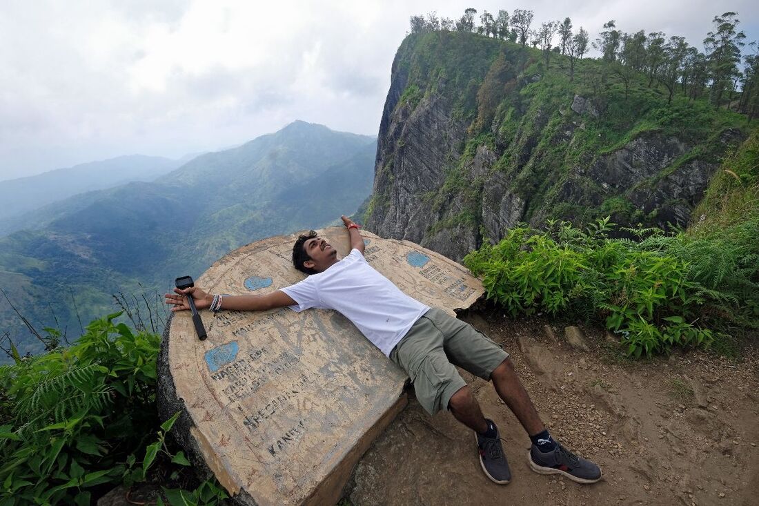
Madulsima - Pitamaruwa Mini World's End
|
|
|
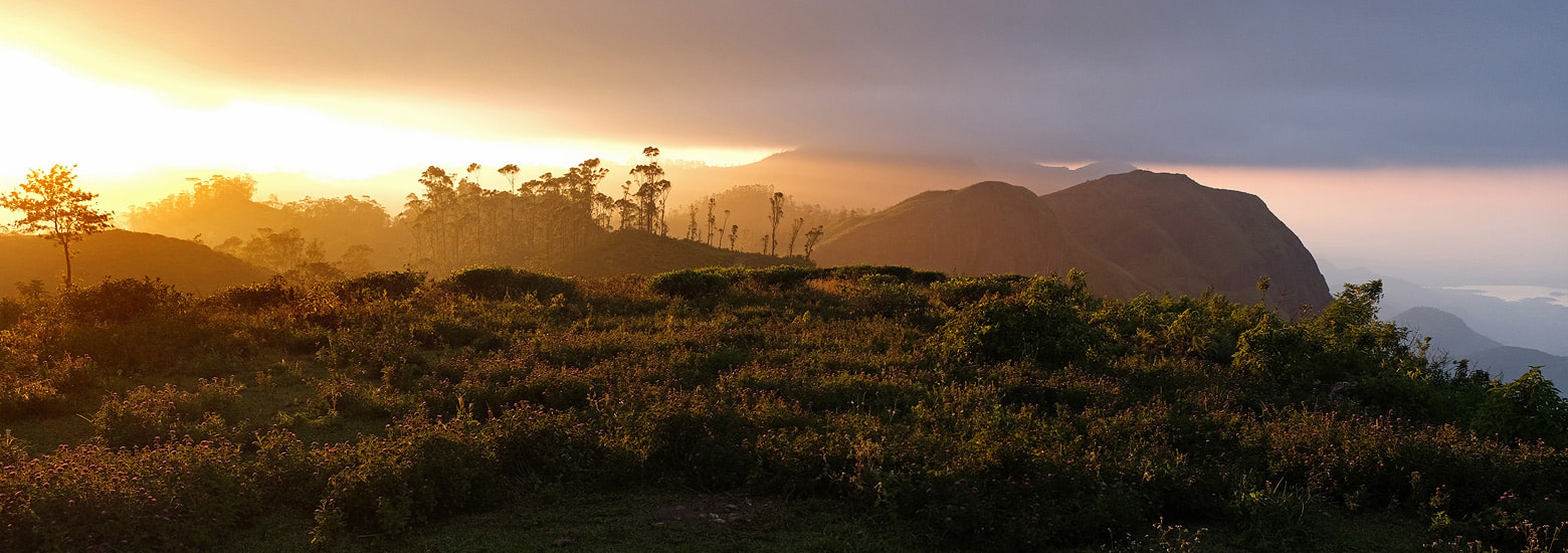
view from the panoramic map to the neighbouring precipice further south
|
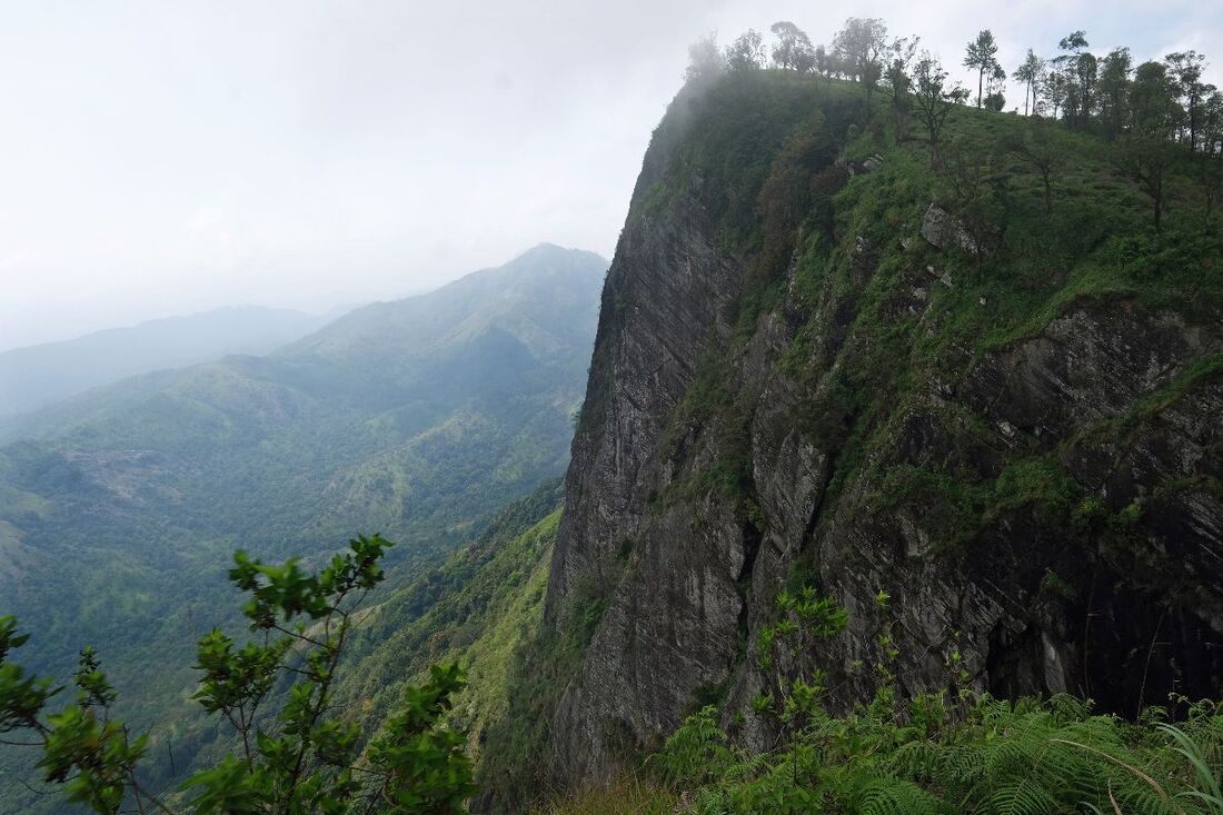
view from the same vantage point to the north
|
Madulsima Pathana
|
Another great view point is Madulsima Pathana just 400 m further north, as the crow flies, but to be reached from a bend of the gravel road 1.3 km north of the said car park of Mini World's End. Walking distance from the bend to the vantage point of Madulsima Pathana is less than 1 km (0.6 miles).
There are several waterfalls in the area between Madulsima und Lunugala and Passara, namely Geradi Ella, Pessagama Ella and Bessama, Ella, the latter has a shallow but cold natural pool. |
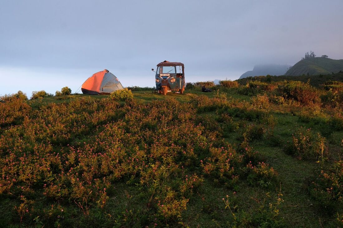
camping site near the precipice of Rathkele
Pathana
|
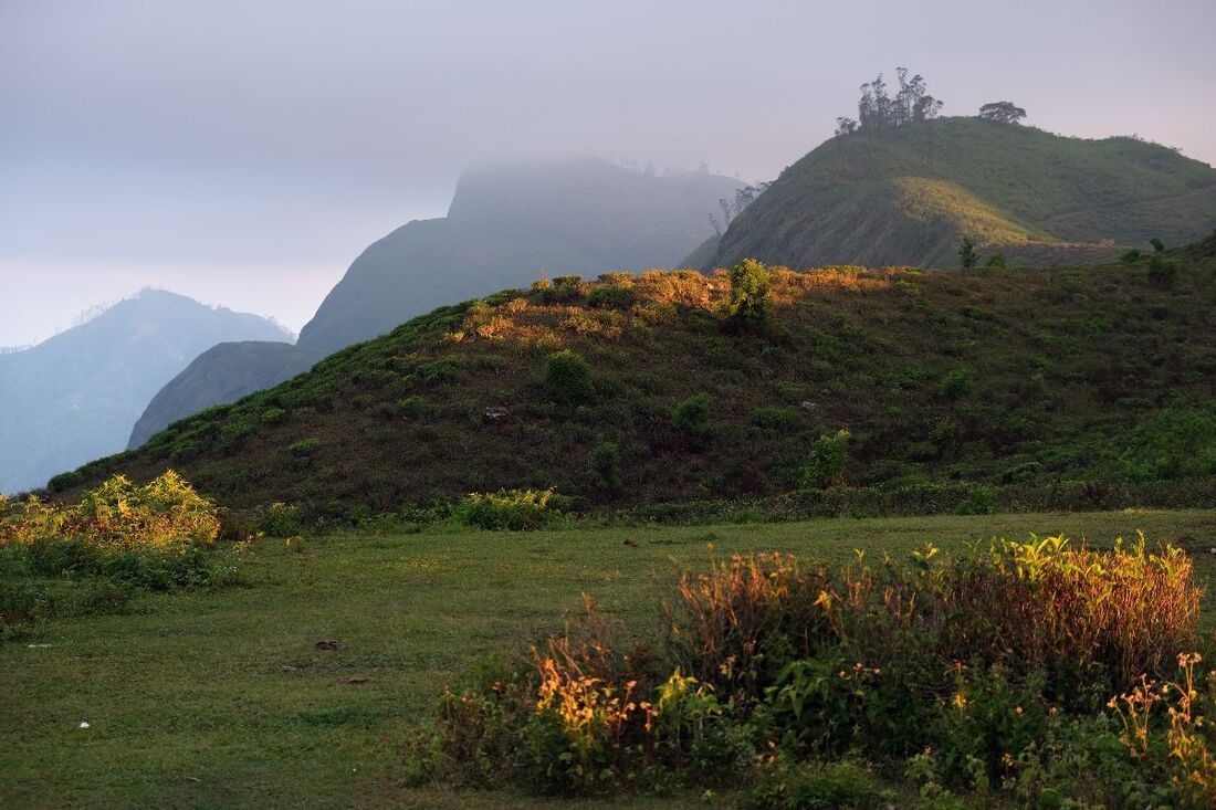
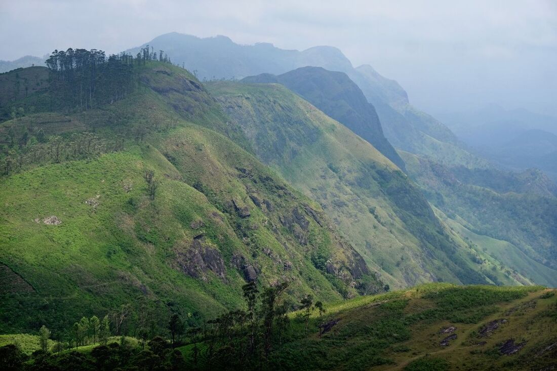
view from Rathkele Pathana Camping Site to Pitamaruwa
|
|
Find a list of 270 Sri Lanka travel destinations & attractions: CLICK HERE Our illustrated list of places of interest is sorted by travel regions, more precisely: by 22 most recommendable places for overnight stays. All 270 sights are within day-trip distance from one of those 22 major locations. (Please understand: Loading 270 images requires more seconds than usual.) |
|
|
|
Lanka Excursions Holidays
Registration Number SLTDA/SQA/TA/02179
255/24, "Green Park" Dawatagahawatta, Thimbirigaskatuwa, Mahahunupitiya East, Negombo, Sri Lanka
Office: +94 31 223 991 Hotline: +94 71 6097795 [email protected] Lanka Excursions Holidays office hours 8.00 to 6.00 p.m. daily (except from June Fullmoon Day)
|
|

