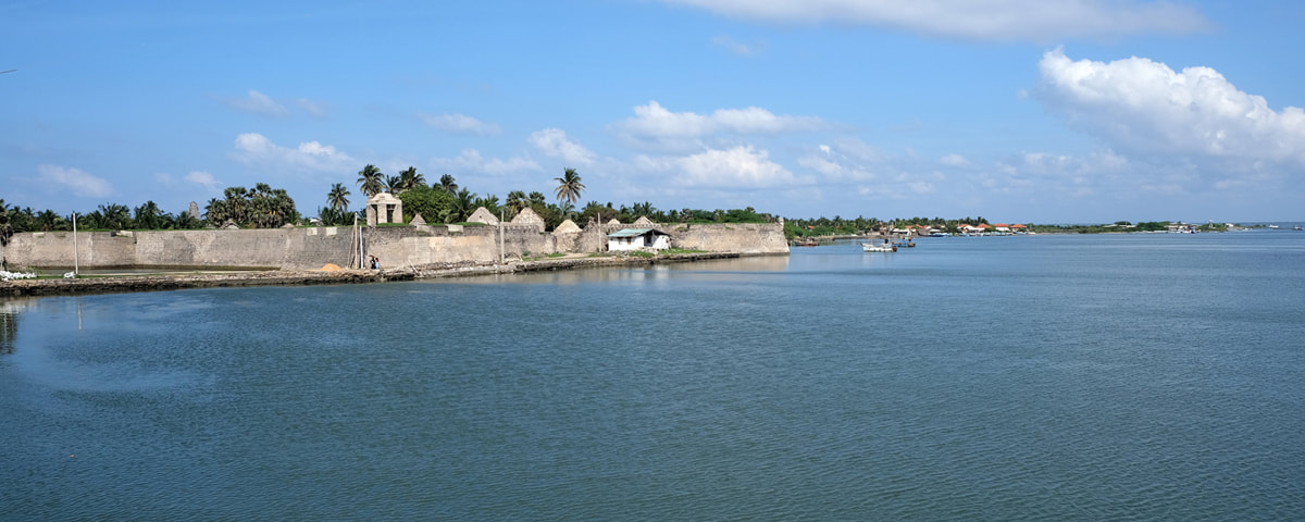
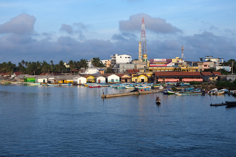
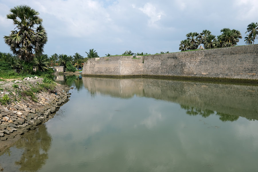
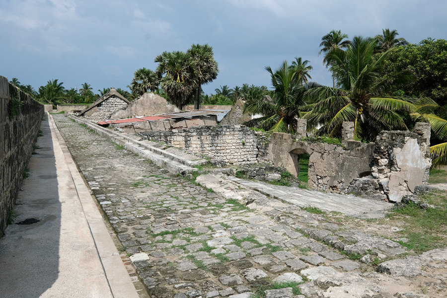
Mannar Island - Sri Lanka's natural bridge to India
|
|
|
|
|
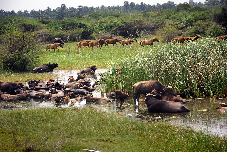
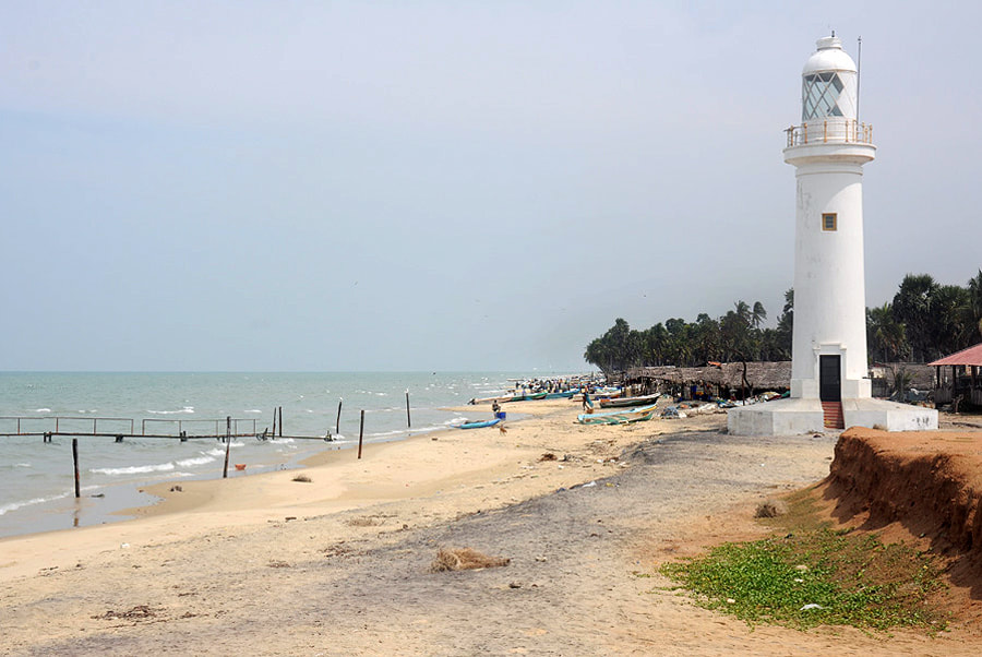
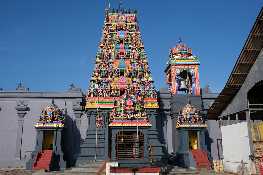
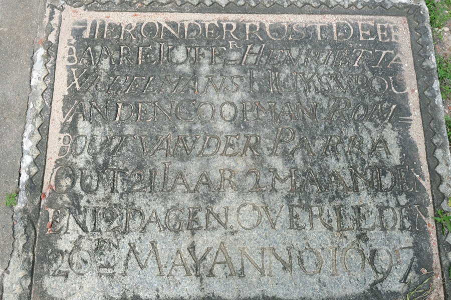
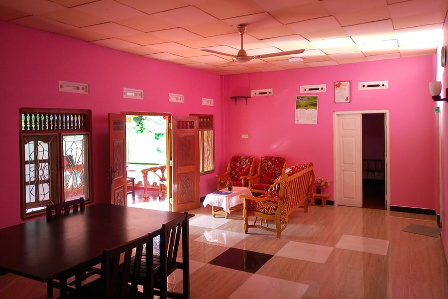
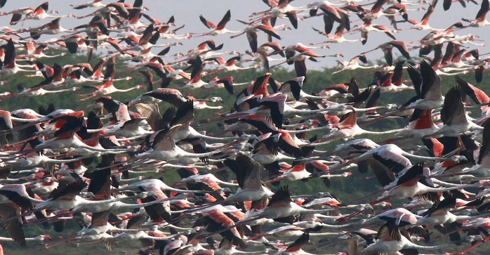 photo by courtesy of Mr. Vimal Kumutha, El Shaddai Guesthouse, Mannar
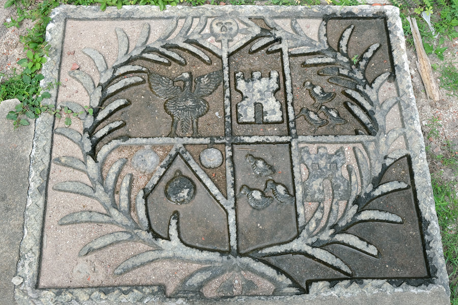
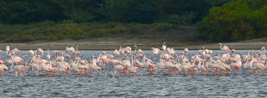
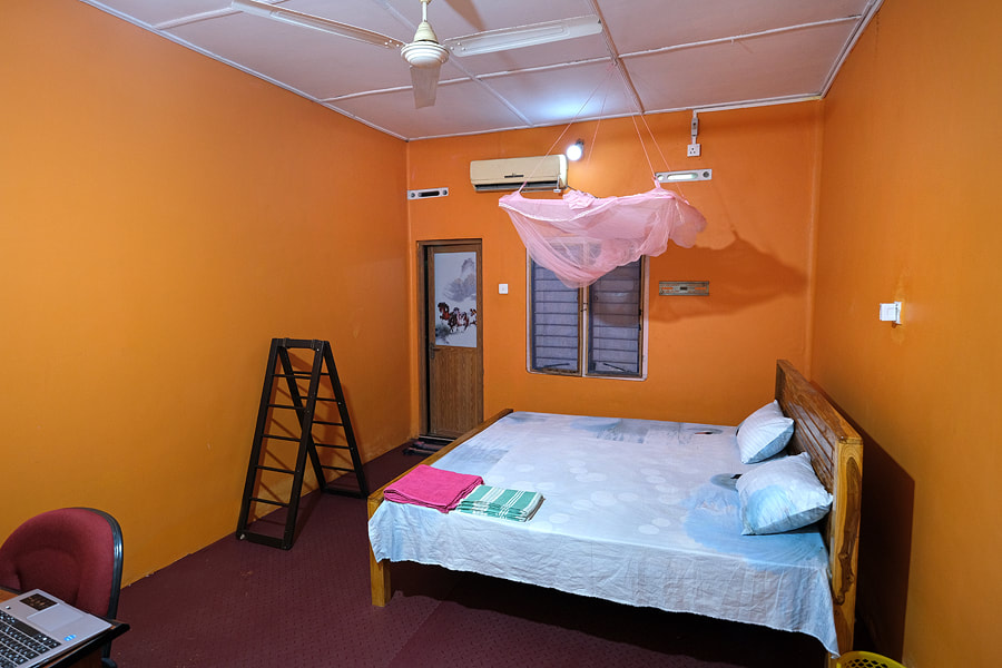
|
|
|
|
|
|
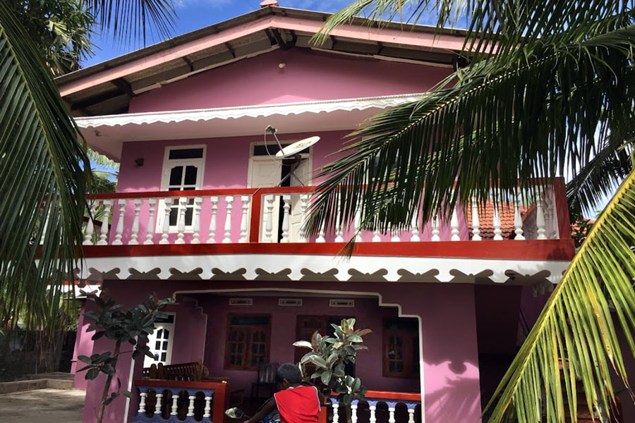
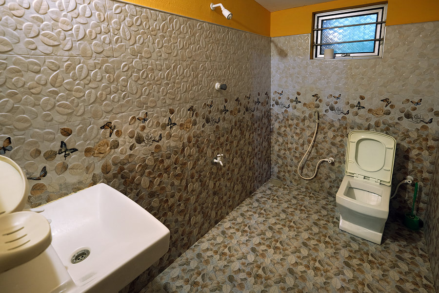
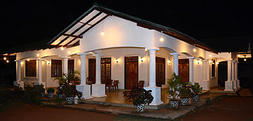
El Shaddai guesthouse is located in the western outskirts of Mannar City, in 3 km distance from the central bus station. The location is quiet, without traffic noise.
For budget travelers, El Shaddai offers affordable rates for accommodation only. Breakfast costs 2.00 Dollars additionally and dinner is available for 5.00 Dollars. The dinner will be a traditional rice and curry with nine different curries, which is extraordinarily rich in variety. When booking a room directly or via booking platforms, please make sure that you avoid misunderstandings concerning room category and meal plan. Whether A/C or breakfast or dinner respectively is included or not included in your rate will be transparently marked by El Shaddai in advance. Alternatively, you can book a room for overnight stays only and after arrival ask for dinner or an A/C upgrade for the respective extra charges |
|
Find a list of 270 Sri Lanka travel destinations & attractions: CLICK HERE Our illustrated list of places of interest is sorted by travel regions, more precisely: by 22 most recommendable places for overnight stays. All 270 sights are within day-trip distance from one of those 22 major locations. (Please understand: Loading 270 images requires more seconds than usual.) |
|
|
|
Lanka Excursions Holidays
Registration Number SLTDA/SQA/TA/02179
255/24, "Green Park" Dawatagahawatta, Thimbirigaskatuwa, Mahahunupitiya East, Negombo, Sri Lanka
Office: +94 31 223 991 Hotline: +94 71 6097795 [email protected] Lanka Excursions Holidays office hours 8.00 to 6.00 p.m. daily (except from June Fullmoon Day)
|
|

