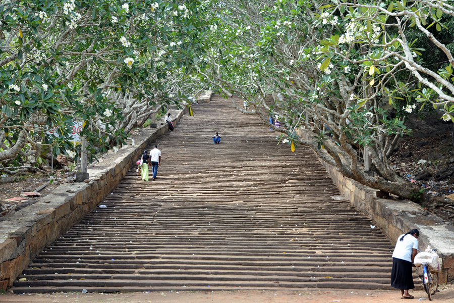
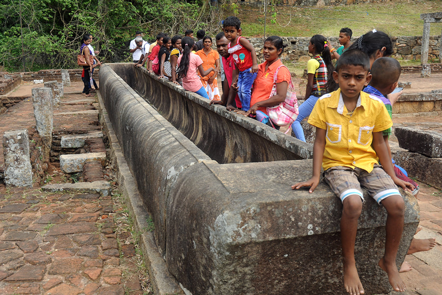
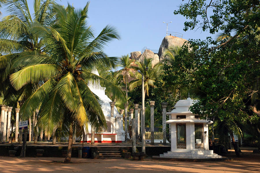
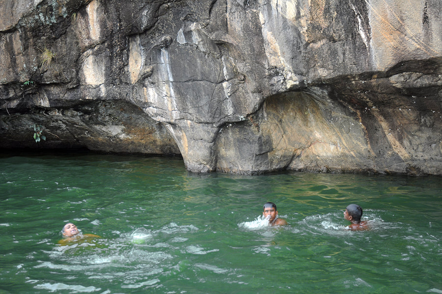
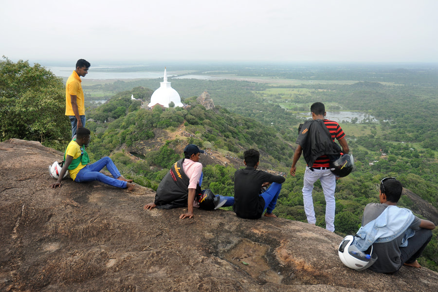
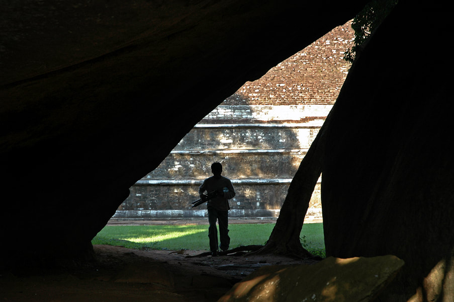
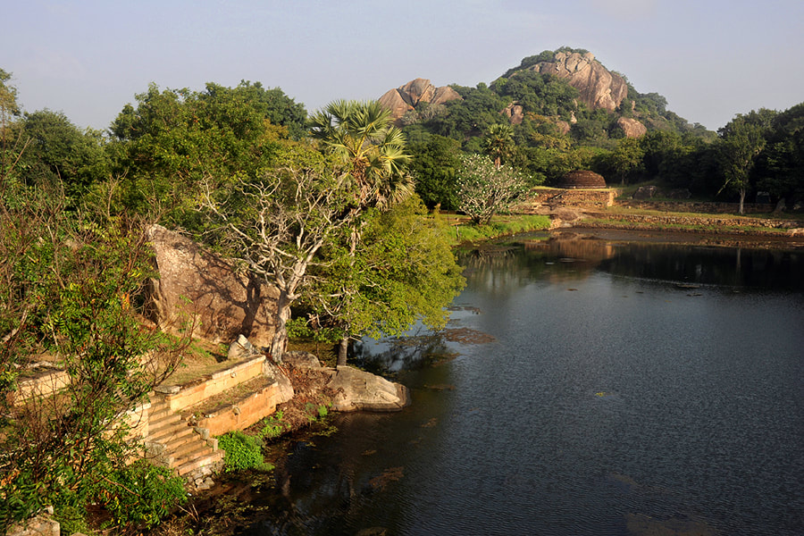
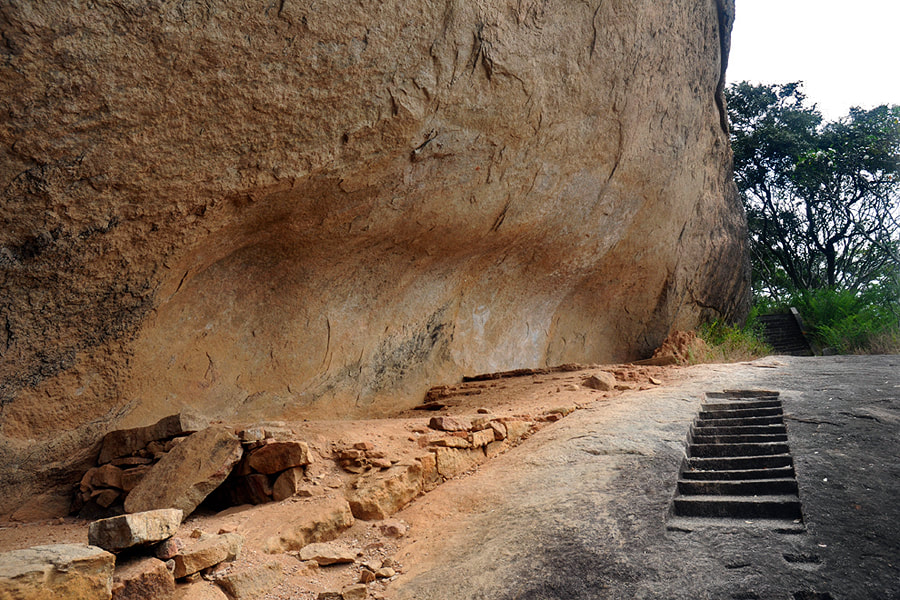
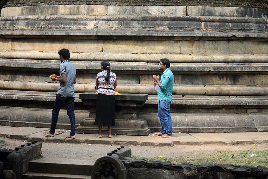
Hiking in Mihintale
This half-day itinerary is a combination of guided sightseeing in Mihintale's sacred area and walking to some less-visited hidden gems.
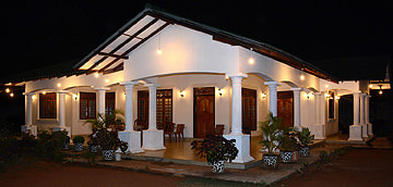
You can start this hiking tour every morning at 9.00 o'clock at First House Mihintale. In case you call or mail us, we can provide pick-up service from Anuradhapura or bus stands.
You can start this hiking tour every morning at 9.00 o'clock at First House Mihintale. In case you call or mail us, we can provide pick-up service from Anuradhapura or bus stands.